Zwei Wanderer rasten auf einem Felsen

Hochbermeler

Hike along the Eifel Traumpfad Hochbermeler (Hochbermel Trail)

Fiery mountains with distant views, tranquil passages through forests, sleepy valleys, meandering paths and over and over again fantastic distant views of the summits of the volcanic Eifel. The highlight is the walk around the extinct volcano Hochbermel.

Description

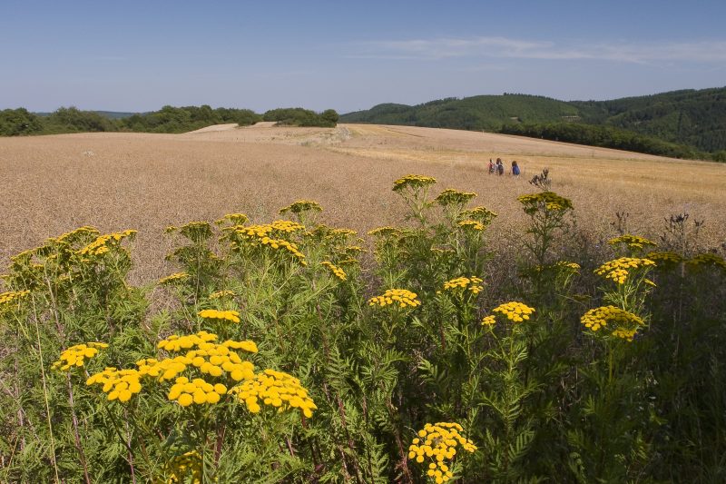
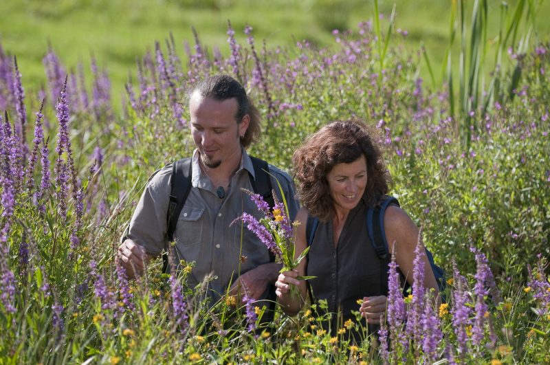
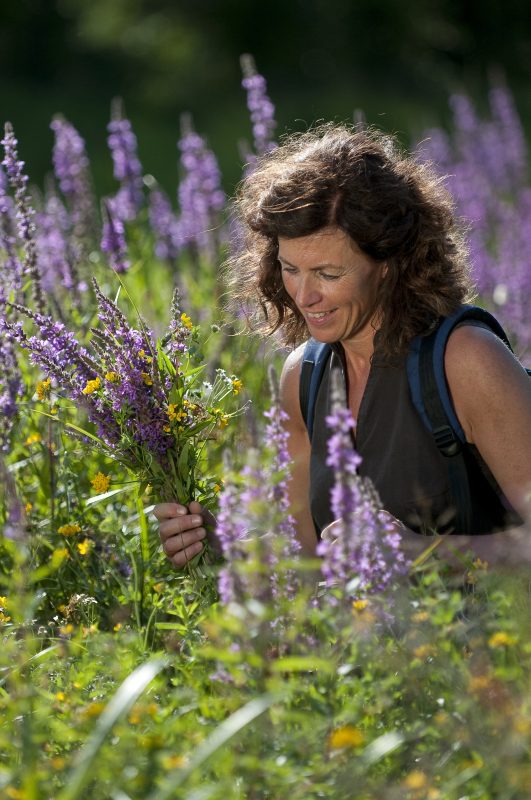
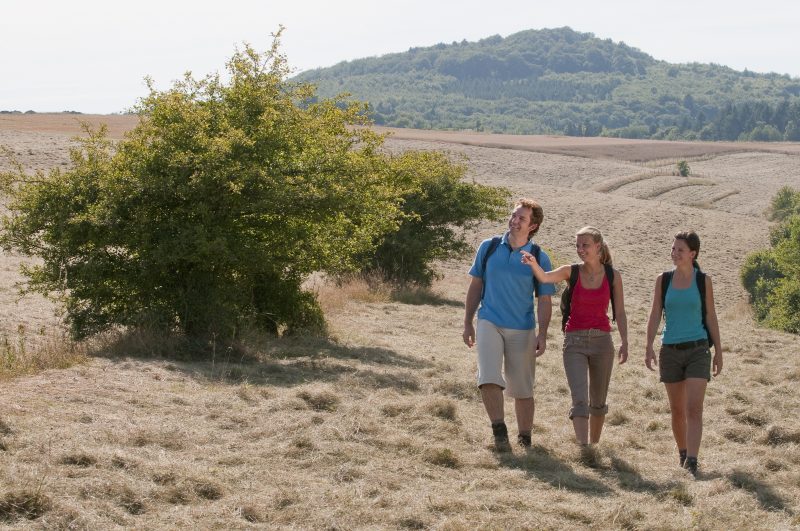
The starting point is the little idyllic Eifel village Fensterseifen. From here the trail dives through meadow landscapes full of flowers into a cool forest and going over the Schälskopf, a mini-volcano, returns to the open plain of the Heune with a distant view into the Thürelz valley. The trail follows a field path to the right, crosses a brook in a little wood, and later reveals new views over the open fields. Passing the Heunenhof the descent follows into the tranquil Thürelz brook valley. It gets even more sleepy and idyllic when it branches at a bridge into the Kimpelbach valley.

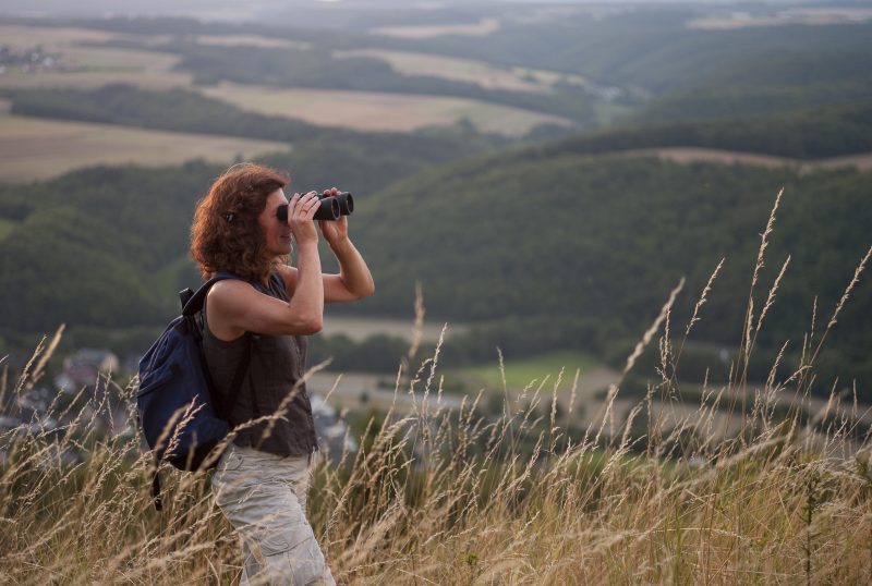
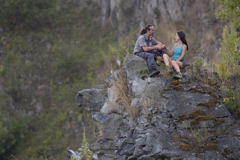
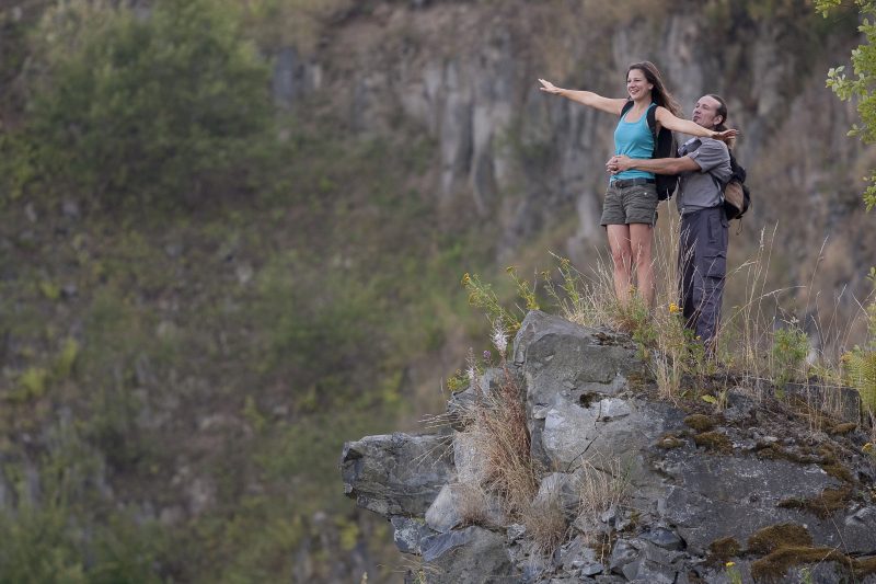
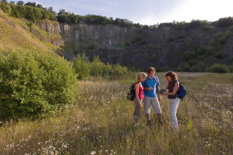
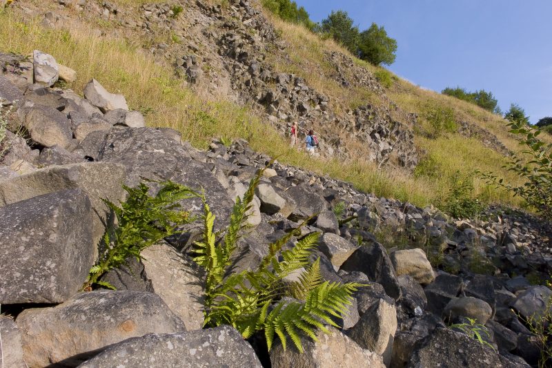
Soon it turns right into a side valley, through unspoilt mixed forest uphill to the historic Köhler Hut. The trail goes along a brook and continues further on along field and forest paths to the volcano Hochbermel. The track goes around the silent summit just below the peak and has unique views into the basalt quarry which nature has taken over again. The track goes directly along the rim of the former basalt quarry, high up on the Hochbermel. Here there are unique distant views. The descent starts over stony ground.

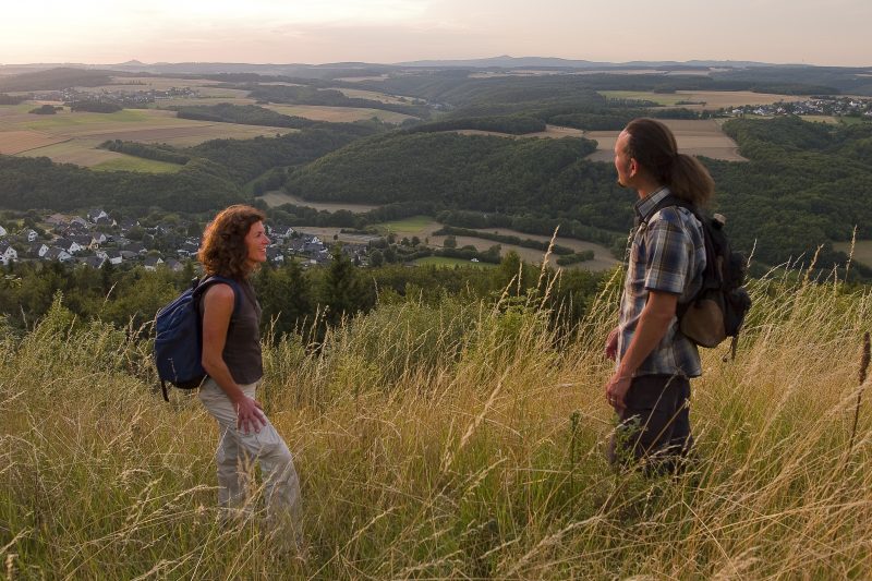
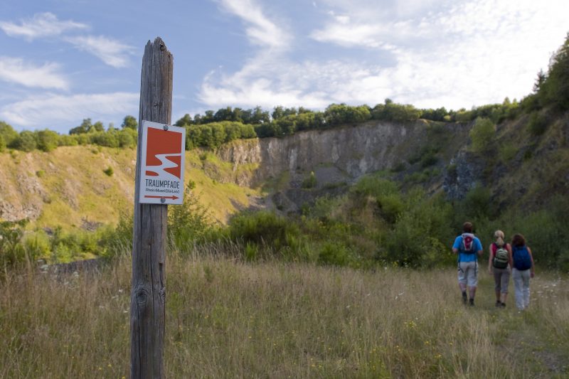
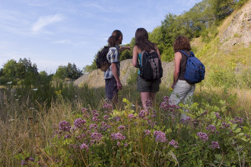
After a short passage along a wide forest track the trail turns left at the edge of the slope revealing an impressive view of Bermel. Returning to the main path it is possible a little later to make another detour in to the old quarry with thrilling explanations of volcanism and geological history. Afterwards the trail descends continuously along soft forest paths back to Fensterseifen.

Highlights at Traumpfad

  • Unspoilt, silent nature
  • Panorama views and viewing points far into the volcanic Eifel
  • Historic Köhler Hut
  • Walk around the Hochbermel volcano just below its summit
  • A basalt quarry that nature has regained and overgrown

Information about Traumpfad "Hochbermeler"

Length

10 km

Altitude

360 m

Duration

3 hours

Difficulty

leicht

How to get there
Start
Further access
3d-Flight
Public transport
  • A 48 Exit Laubach
  • L 99 towards Urmersbach
  • after 150m left on to K 11 towards Eppenberg/Kalenborn
  • right on to L 96 towards Monreal
  • after 2 km turn right
56729 Bermel-Fensterseifen (Hillesheimstraße)
  • 56729 Bermel-Fensterseifen car park at K 8
Mit dem Klick aktivieren Sie das Video, es werden aber Daten, wie Ihre IP-Adresse, zu Youtube übertragen.
Video anzeigen
Destination Stop:
Fensterseifen Abzw.
Lines:
  • 334 (Mon-Sat) Mayen Ost Bf. – Monreal Bf. – Ulmen Bf.

Links

Impressions from the Traumpfad "Hochbermeler"

Notes

Traumpfad open

Explore more Traumpfade

wanderather traumpfad

Wanderather

Length: 12 km

Difficulty: leicht

go to Traumpfad "Wanderather"
Traumpfade 1

Waldseepfad Rieden

Length: 14,2 km

Difficulty: moderate

go to Traumpfad "Waldseepfad Rieden"
Mutter und Tochter befühlen Wacholderheiden

Wacholderweg

Length: 8,8 km

Difficulty: moderate

go to Traumpfad "Wacholderweg"
Vulkanpfad Wanderweg

Vulkanpfad

Length: 6,6 km

Difficulty: moderate

go to Traumpfad "Vulkanpfad"
Traumpfade 2

Virne-Burgweg

Length: 9,9 km

Difficulty: moderate

go to Traumpfad "Virne-Burgweg"
Traumpfade 3

Vier-Berge-Tour

Length: 12,9 km

Difficulty: hard

go to Traumpfad "Vier-Berge-Tour"
Rast auf einer Bank

Pellenzer Seepfad

Length: 16 km

Difficulty: hard

go to Traumpfad "Pellenzer Seepfad"
nette schieferpfad

Nette-Schieferpfad

Length: 9,2 km

Difficulty: moderate

go to Traumpfad "Nette-Schieferpfad"
Traumpfade 4

Monrealer Ritterschlag

Length: 13,7 km

Difficulty: hard

go to Traumpfad "Monrealer Ritterschlag"
heidehimmel-volkesfeld

Heidehimmel Volkesfeld

Length: 9,3 km

Difficulty: moderate

go to Traumpfad "Heidehimmel Volkesfeld"
Traumpfade 5

Förstersteig

Length: 14,7 km

Difficulty: hard

go to Traumpfad "Förstersteig"
Wanderer kühlen ihre Füße ab

Booser Doppelmaartour

Length: 9,1 km

Difficulty: easy

go to Traumpfad "Booser Doppelmaartour"
Traumpfade 6

Bergheidenweg

Length: 10,3 km

Difficulty: moderate

go to Traumpfad "Bergheidenweg"
Our partners