rheingoldbogen-neu

Rheingoldbogen

Hike along the Rhine Traumpfad Rheingoldbogen (Rheingold Loop)

Walk the trail Rheingoldbogen, along the tracks of the Romans and wine-growing, through varied countryside, past well tendered grape vines and huge hedges on to the Rhine plateau with ist fantastic views of the Rhine valley and the Rhine Loop of the Rhine.

Description

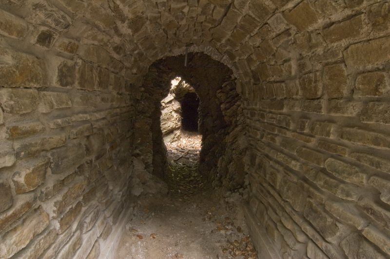
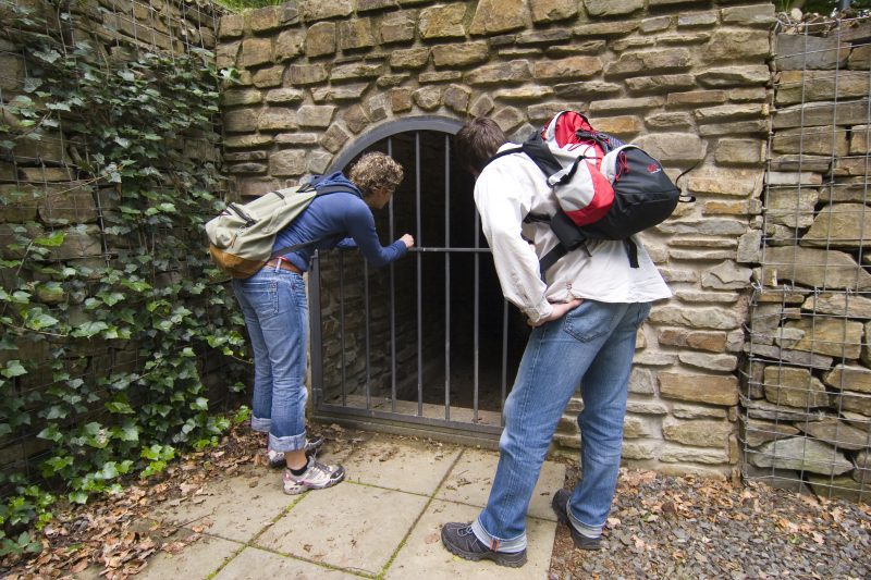
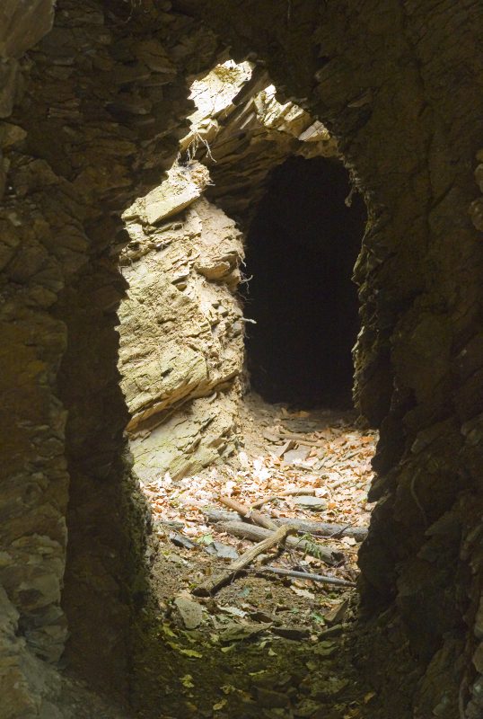
From the starting point at the Brey cemetery, the path soon goes into the forest. Here, shafts give an open view of old water piping, laid by the Romans. At Brey’s sportsground a narrow path goes steeply upwards to a refuge hut with a great view towards the Rhine valley. Along soft forest paths the way continues to the Rhine plateau. Scarcely visible bumps in the ground hide magnificent burial mounds. The path curves round this area and reaches the old Jesuit monastery Jakobsberg, today used as a hotel with a golf course.

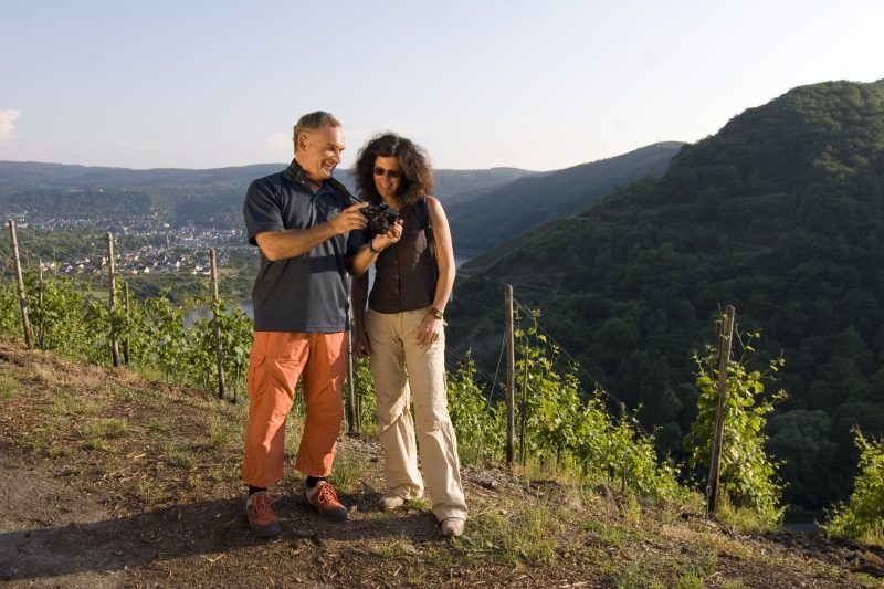
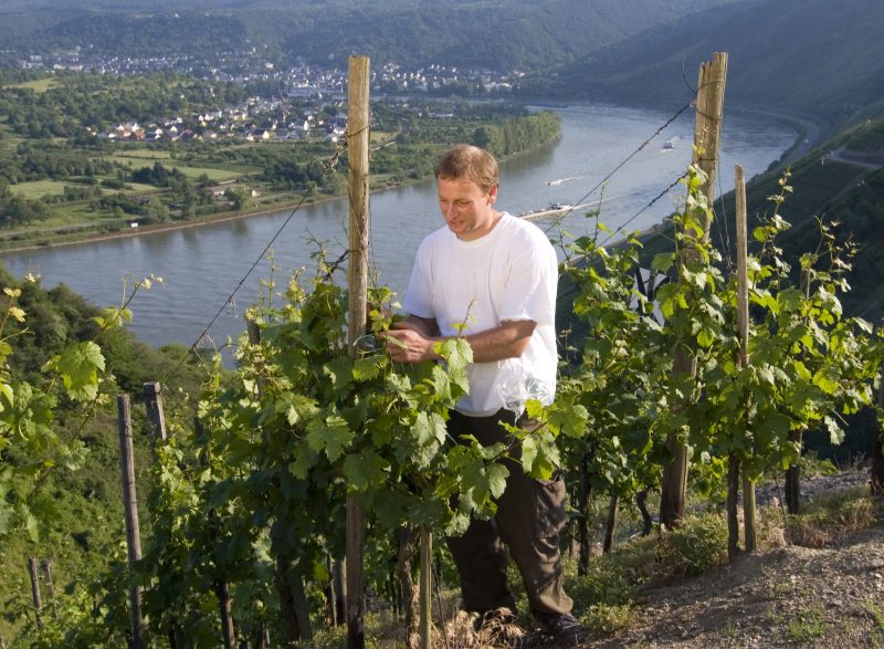
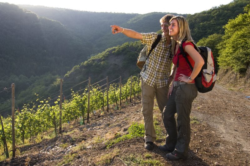
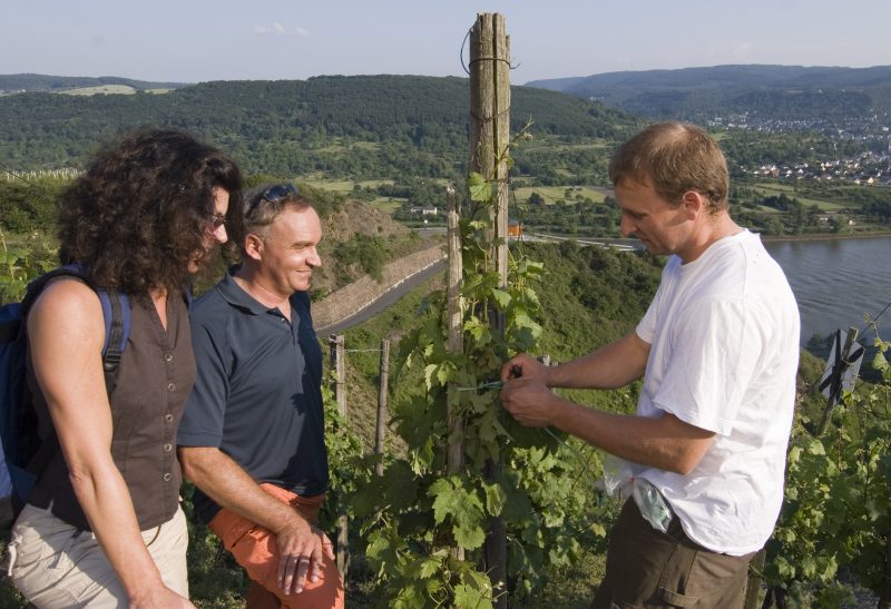
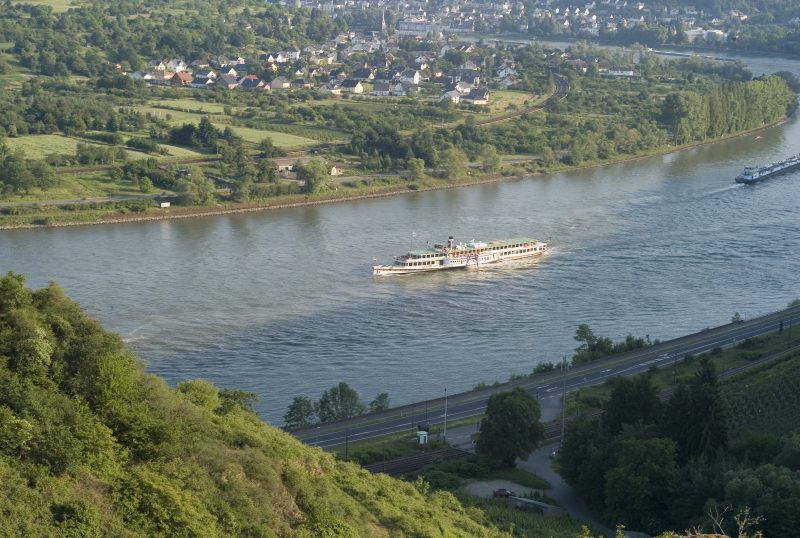
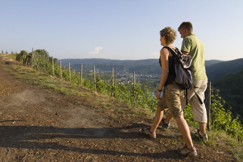
On paths through the forest the way continues downwards towards Peternach. The Traumpfad reaches the vineyards in the famous location of the Boppard Hamm. Here a panoramic view opens on to the biggest Rhine loop with a view of Boppard, Filsen and Osterspai. Lined by thick hedges, the path turns its back on the Rhine valley. The level plateau allows stunning views of the Marksburg Castle in Braubach that seems to be within reach. Over open fields, the path comes to the chapel dedicated to the Mother of God. The way now goes down towards the valley and along idyllic meadow paths down to the starting point of Brey.

Highlights at Traumpfad

  • Fantastic views of the Rhine valley and the Rhine loop at Osterspai (UNESCO World Heritage Site: Upper Middle Rhine Valley)
  • Wonderful views of the Marksburg Castle in Braubach
  • Historic vineyards in Boppard Hamm
  • Brey
  • Rhine plateau
  • Jakobsberg Monastery
  • Chapel to the Mother of God

Information about Traumpfad "Rheingoldbogen"

Length

12,6 km

Altitude

292 m

Duration

4 hours

Difficulty

moderate

How to get there
Start
Further access
Parking
3d-Flight
Public transport
  • B9 to Brey
  • in the centre of Brey, follow the Rheingoldstraße
  • Parken auf dem Dorfplatz
  • 56321 Brey, Dorfplatz (Rheingoldstraße)
56321 Brey cemetery (Ackerweg)
  • 56322 Spay, Zehnthofstraße (700 m to the Rheingoldbogen) Parking: 56322 Spay, Zehnthofstraße Parking at the cemetery
  • 56322 Spay, corner of Mainzer Straße / Im Lehnacker (1.5 km to Rheingoldbogen) Parking: 56322 Spay along Mainzer Straße
  • 56321 Brey, Dorfplatz (unmittelbar an der Rheingoldstraße ) – Zuwegung bis zum Traumpfad ausgeschildert
  • 56321 Brey, Fa. Kochhan (Mainzer Straße 1) - samstags ab 15 Uhr und sonntags ganztägig - Zuwegung ausgeschildert
  • For more parking options, see Access routes
Mit dem Klick aktivieren Sie das Video, es werden aber Daten, wie Ihre IP-Adresse, zu Youtube übertragen.
Video anzeigen
Destination Stop:
Brey, B9
Lines:
  • Linie 670 RegioBus: Koblenz-Rhens-Spay-Boppard

Destination Stop:
Spay, Alter Posthof (200m bis zur Zuwegung "Im Lehnacker")
Lines:
  • Linie 670 RegioBus: Koblenz-Rhens-Spay-Boppard

Links

Impressions from the Traumpfad "Rheingoldbogen"

Notes

Traumpfad open

Explore more Traumpfade

2 Wanderer machen ein Picknick

Wolfsdelle

Length: 10,4 km

Difficulty: moderate

go to Traumpfad "Wolfsdelle"
Wanderer klettern über einen umgefallenen Baum

Waldschluchtenweg

Length: 11,1 km

Difficulty: moderate

go to Traumpfad "Waldschluchtenweg"
Wanderer genießen die Aussicht

Saynsteig

Length: 15,3 km

Difficulty: hard

go to Traumpfad "Saynsteig"
Höhlen- und Schluchtensteig

Höhlen- und Schluchtensteig

Length: 12,1 km

Difficulty: moderate

go to Traumpfad "Höhlen- und Schluchtensteig"
Our partners