Wanderer genießen die Aussicht

Saynsteig

Hike along the Rhine Traumpfad Saynsteig (Sayn Trail)

A hiking tour in Sayn in search of traces of knights and Romans can be made along the Traumpfad Saynsteig. The trail goes through shady forests along natural paths to impressive caves. Tranquil forest sections alternate with incredibly beautiful views far into the Rhine valley and the Eifel.

current route information

Description

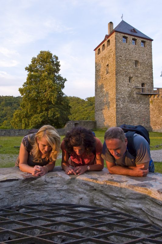
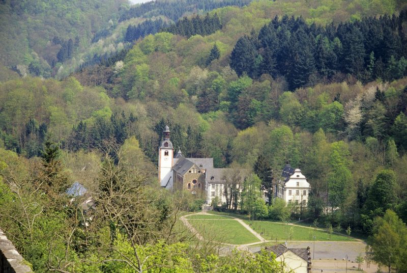
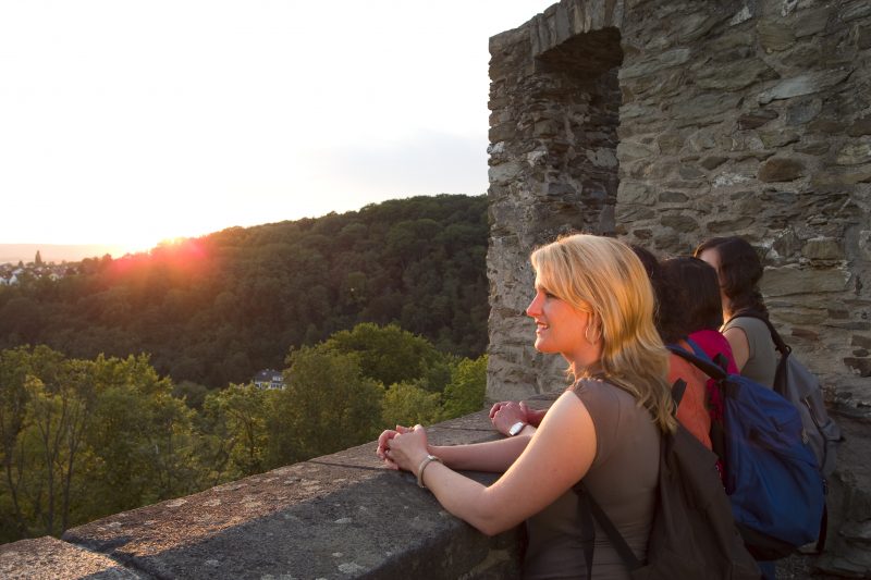
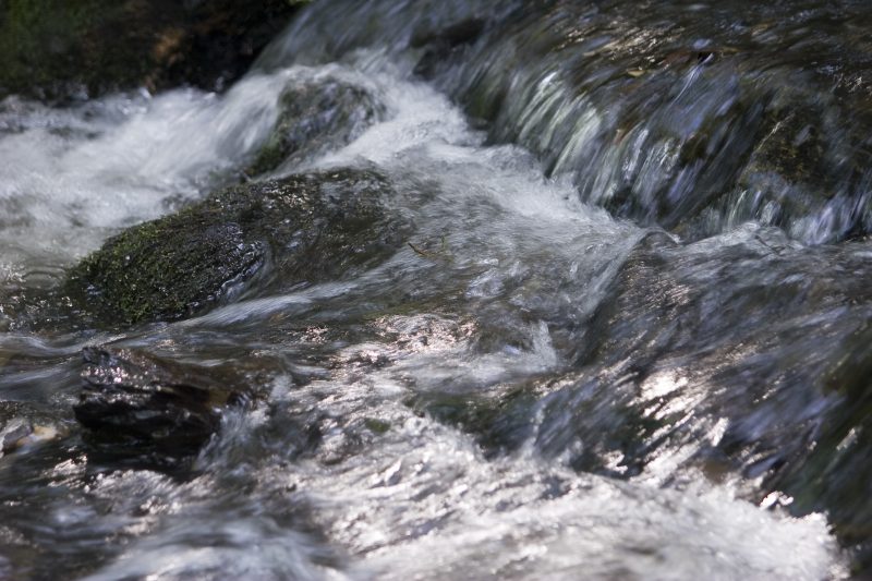
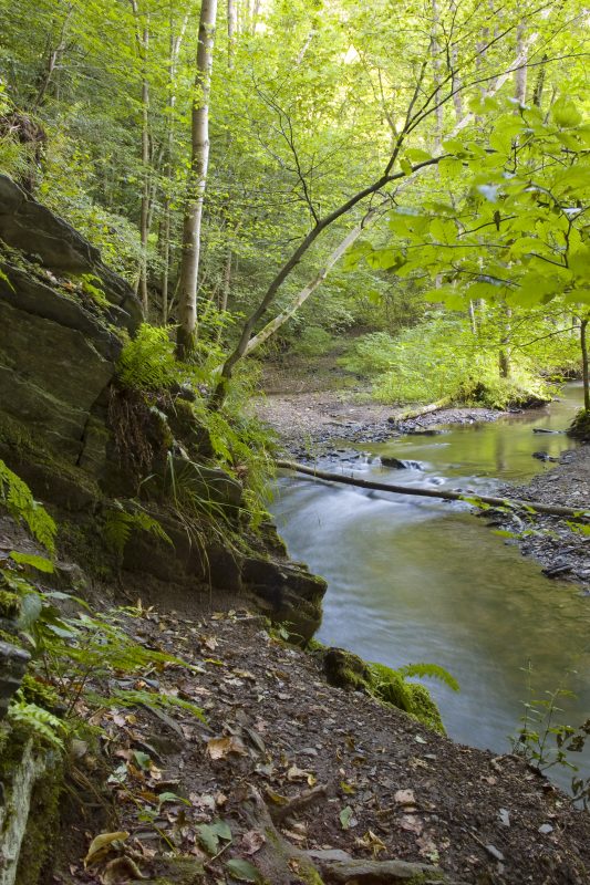
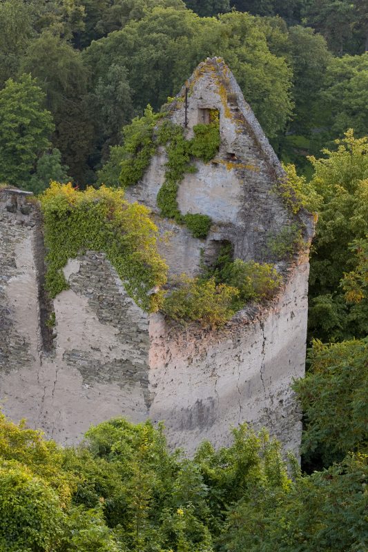
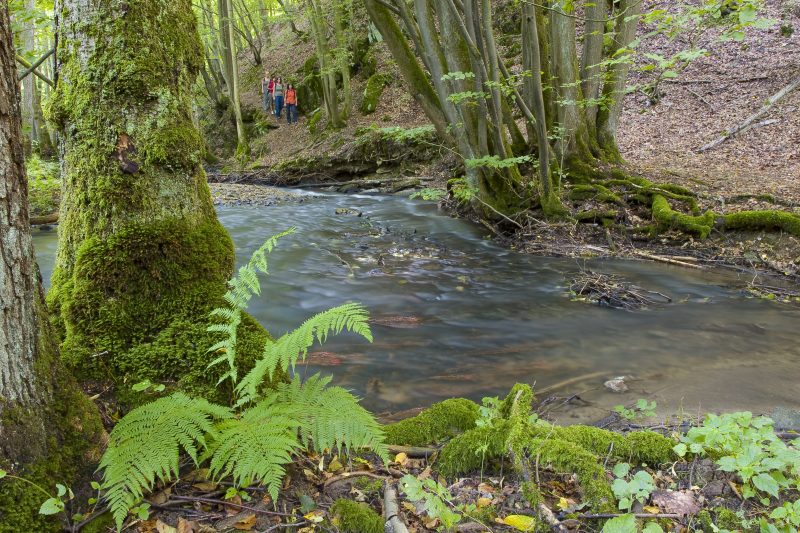
The start of this Traumpfad on the Rhine is Sayn Castle, opposite the royal castle park. If the car is not parked at the castle but at the abbey church the start can be reached via the Brexbachstraße. The trail goes over the castle’s terrace up to Syn Castle and, at the walls which are also worth seeing, there is already the first magnificent view. Continuing on straight ahead, the path leads to the Oscar heights. Here there are great views of the abbey church, the romantic “Ancient Sayn”, the Rhine valley and the Eifel. The Sayn Trail crosses the L306 and reaches the edge of the forest at the Ottilie heights. The way now goes down via a side valley to the Brexbach brook through a varied landscape of water meadows to the Boy Scouts’ camp. A narrow path now leads upwards and meets the Rheinsteig.

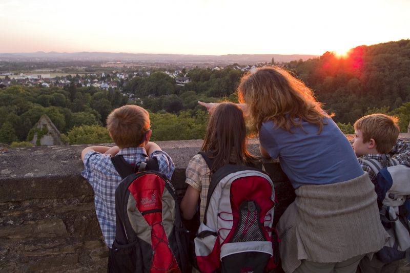
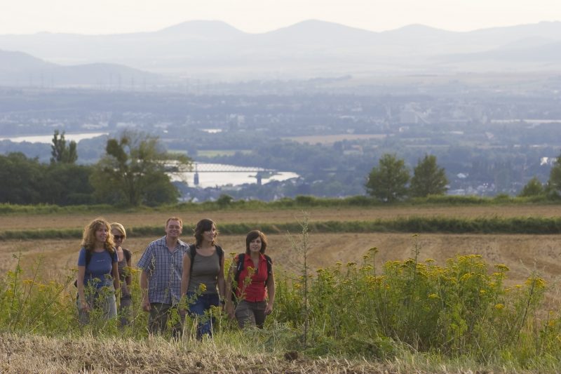
The trail continues uphill to the World Heritage Site Upper Germanic and Rhaethian Limes with a reconstructed Roman tower. Now the almost level path allows relaxation, the Meisenhof invites the hiker to stop. The path that now follows across open fields again allows great views over the Rhine valley. Then downwards to Sayn. From the footbridge over the Brexbach brook, past the mill museum Heinsmühle (Heins Mill) it is only a few steps back to the castle.

Highlights at Traumpfad

  • Sayn Castle and Palace
  • Ancient Premontres Abbey Sayn
  • Distant views from Oscar heights and "Loh"
  • UNESCO World Heritage Site Limes with its reconstructed Roman tower
  • Wonderful water meadow countryside in the idyllic Brexbach valley
  • Lovely forest footpaths

Information about Traumpfad "Saynsteig"

Length

15,3 km

Altitude

460 m

Duration

5:30 hours

Difficulty

hard

How to get there
Start
Parking
3d-Flight
Public transport
  • A 48 Exit Bendorf
  • B 42 in the direction Bendorf Sayn (till Schloss Sayn)
  • there, right to Brexstraße
  • 56170 Bendorf-Sayn, Schloss Sayn (Schloss Straße 100)
56170 Bendorf-Sayn Schloss Sayn (Schloss Straße 100)
  • Abbey Sayn in Bendorf-Sayn
  • 56170 Bendorf-Sayn, car park Prälatengarten Abbey Sayn (till Schloss Sayn, there, right to Brexstraße to the car park)
Mit dem Klick aktivieren Sie das Video, es werden aber Daten, wie Ihre IP-Adresse, zu Youtube übertragen.
Video anzeigen
Destination Stop:
Sayn, Schloss
Lines:
  • Linie 8 Koblenz-Zentrum - Urbar - Vallendar - Bendorf - Sayn

Links

Impressions from the Traumpfad "Saynsteig"

Notes

current route information
Umleitung wegen umgestürzter Bäume

Aufgrund von umgestürzten Bäumen wurde am Saynsteig eine Umleitung gelegt. Daher ist der Weg nun wieder wanderbar! (Stand: 05.03.2024)

(Stand: 05.03.2024)

Explore more Traumpfade

2 Wanderer machen ein Picknick

Wolfsdelle

Length: 10,4 km

Difficulty: moderate

go to Traumpfad "Wolfsdelle"
Wanderer klettern über einen umgefallenen Baum

Waldschluchtenweg

Length: 11,1 km

Difficulty: moderate

go to Traumpfad "Waldschluchtenweg"
Traumpfade 1

Rheingoldbogen

Length: 12,6 km

Difficulty: moderate

go to Traumpfad "Rheingoldbogen"
Höhlen- und Schluchtensteig

Höhlen- und Schluchtensteig

Length: 12,1 km

Difficulty: moderate

go to Traumpfad "Höhlen- und Schluchtensteig"
Our partners