Mutter und Tochter befühlen Wacholderheiden

Wacholderweg

Hike along the Eifel Traumpfad Wacholderweg (Juniper Trail)

A premium-quality trail through unspoilt nature, juniper heaths and every sort of forest. Whoever would like to experience a little more can combine the Juniper Trail with the Mountain Heath Trail to make a long circular tour.

current route information

Description

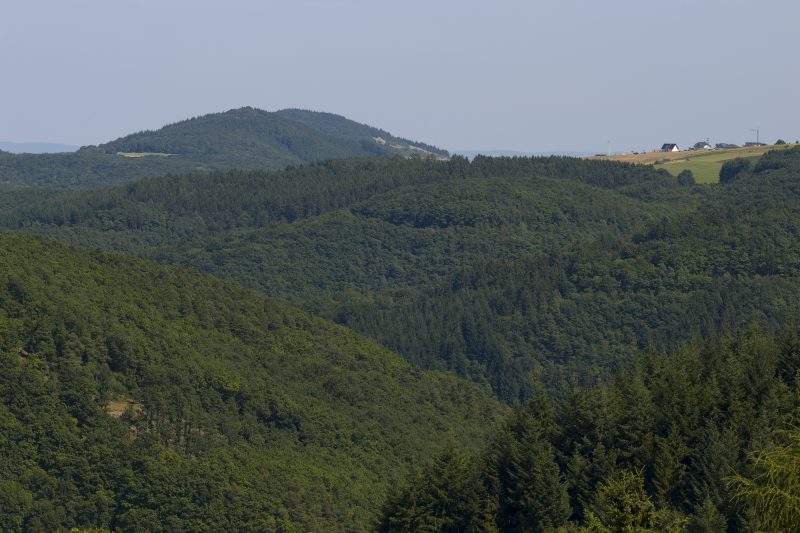
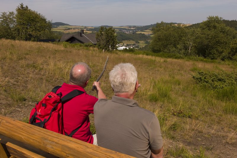
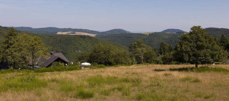
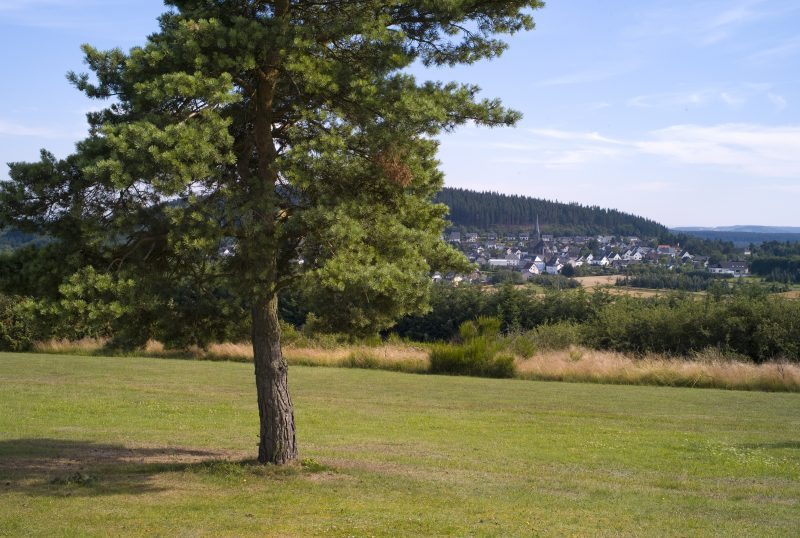
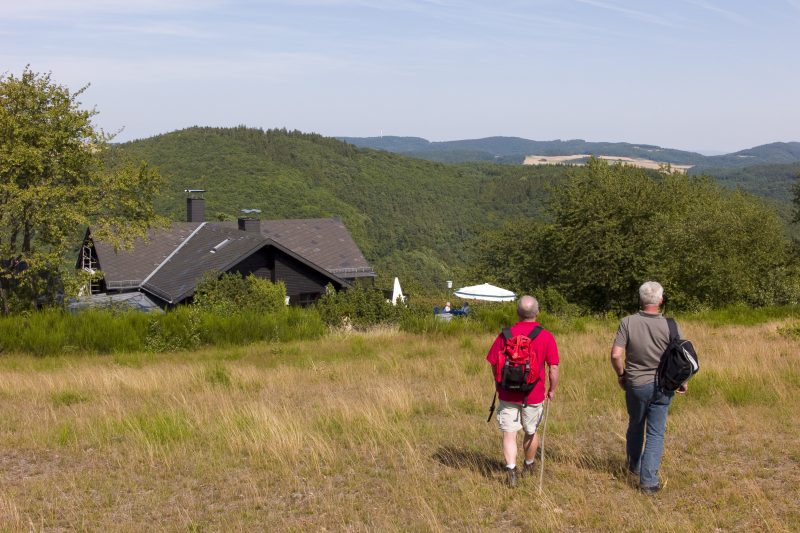
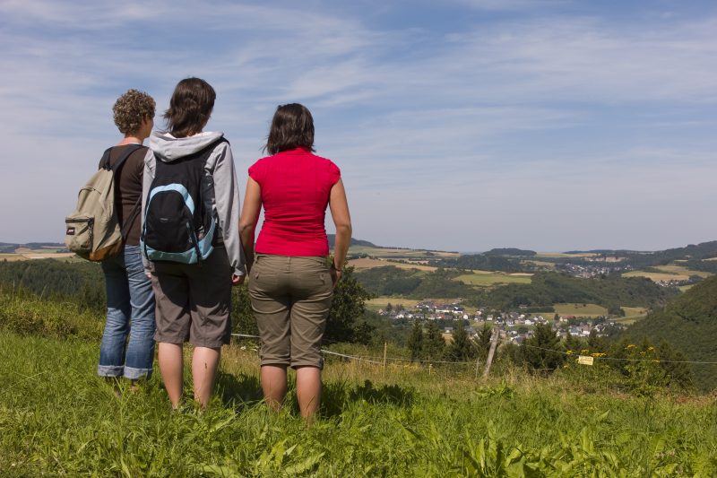
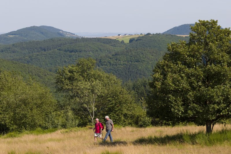
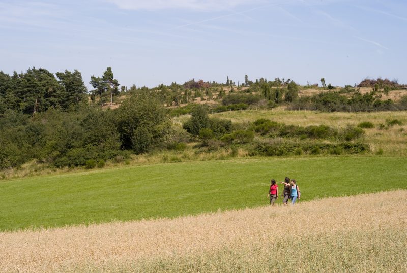
The starting point of this Traumpfad is the Wabelsberg Juniper Hut at the upper end of Langscheid. The trail goes through beautiful heathland around the Webelsberg mountain with views of the East Eifel mountain tops covered with forest. Crossing the plateau the trail goes past Langenfeld with its distinctive church (Eifel Cathedral).

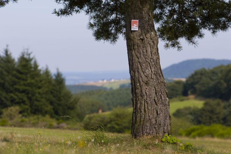
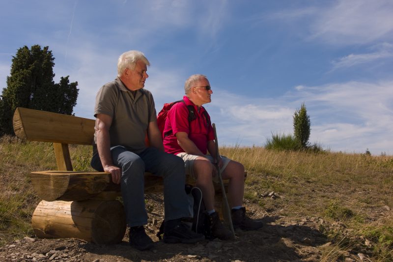
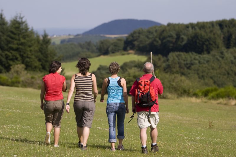
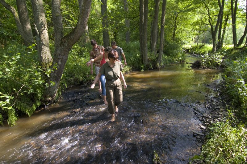
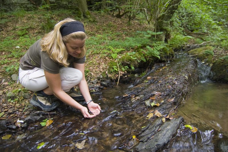
Repeatedly interrupted by stretches of forest, the trail soon becomes a grassy footpath going uphill to the Büschberg mountain. The juniper heath, typical for the Vordereifel, invites the hiker to make a short pause at the beautifully designed resting place. Soon the path goes into the forest, where a branch leads to the neighbouring “Bergheidenweg”. The wide forest track twists its way downwards following a rippling brook and finally leads to the Nette valley.

And then the path goes a short while uphill along a grassy path with a view over the valley. The trail turns down into a forest of high beech trees and then downwards again towards Nette, before the final ascent starts through varied forest back to the Wabelsberg Juniper Hut.

Highlights at Traumpfad

  • Renatured areas of juniper heathland
  • Distant views of the Eifel
  • Nette valley
  • Wabelsberg Nature Reserve
  • Büschberg

Information about Traumpfad "Wacholderweg"

Length

8,8 km

Altitude

264 m

Duration

3 hours

Difficulty

moderate

How to get there
Start
Parking
3d-Flight
Public transport
  • A 61 Exit Wehr/Nürburgring
  • B 412 towards Weibern
  • town central Weibern Richtung Mayen
  • after Hausten/Morswiesen right, towards Langscheid
  • 56729 Langscheid, Wabelsberger Wacholderhütte (Neuer Weg 16)
56729 Langscheid Wabelsberger Wacholderhütte (Neuer Weg 16)
  • 56729 Langscheid Wabelsberger Wacholderhütte (Neuer Weg 16)
  • 56729 Arft town central
Mit dem Klick aktivieren Sie das Video, es werden aber Daten, wie Ihre IP-Adresse, zu Youtube übertragen.
Video anzeigen
Destination Stop:
Netterhöfe junction.
Lines:
  • Linie 820 Adenau - Hohe Acht - Hohenleimbach - Kempenich

Links

Impressions from the Traumpfad "Wacholderweg"

Notes

current route information
Laufende Holzerntemaßnahmen

Laufende Holzerntemaßnahmen im Bereich des Wacholderweges – insbesondere Gemarkung Arft Netterhöfe. Ggf. müssen zeitweise Wegeabschnitte  oder der komplette Weg gesperrt werden. An Wochenenden und Feiertagen finden keine Maßnahmen statt.

(Stand: 18.07.2022)

Explore more Traumpfade

wanderather traumpfad

Wanderather

Length: 12 km

Difficulty: leicht

go to Traumpfad "Wanderather"
Traumpfade 1

Waldseepfad Rieden

Length: 14,2 km

Difficulty: moderate

go to Traumpfad "Waldseepfad Rieden"
Vulkanpfad Wanderweg

Vulkanpfad

Length: 6,6 km

Difficulty: moderate

go to Traumpfad "Vulkanpfad"
Traumpfade 2

Virne-Burgweg

Length: 9,9 km

Difficulty: moderate

go to Traumpfad "Virne-Burgweg"
Traumpfade 3

Vier-Berge-Tour

Length: 12,9 km

Difficulty: hard

go to Traumpfad "Vier-Berge-Tour"
Rast auf einer Bank

Pellenzer Seepfad

Length: 16 km

Difficulty: hard

go to Traumpfad "Pellenzer Seepfad"
nette schieferpfad

Nette-Schieferpfad

Length: 9,2 km

Difficulty: moderate

go to Traumpfad "Nette-Schieferpfad"
Traumpfade 4

Monrealer Ritterschlag

Length: 13,7 km

Difficulty: hard

go to Traumpfad "Monrealer Ritterschlag"
Zwei Wanderer rasten auf einem Felsen

Hochbermeler

Length: 10 km

Difficulty: leicht

go to Traumpfad "Hochbermeler"
heidehimmel-volkesfeld

Heidehimmel Volkesfeld

Length: 9,3 km

Difficulty: moderate

go to Traumpfad "Heidehimmel Volkesfeld"
Traumpfade 5

Förstersteig

Length: 14,7 km

Difficulty: hard

go to Traumpfad "Förstersteig"
Wanderer kühlen ihre Füße ab

Booser Doppelmaartour

Length: 9,1 km

Difficulty: easy

go to Traumpfad "Booser Doppelmaartour"
Traumpfade 6

Bergheidenweg

Length: 10,3 km

Difficulty: moderate

go to Traumpfad "Bergheidenweg"
Our partners