wanderather traumpfad

Wanderather

Hike along the Eifel Traumpfad Wanderather (Wanderath Trail)

The Wanderather is pure enjoyment of nature! The trail – a day trip with an impressing altitude gain of 304 m– goes through wide open meadows with spectacular views, tranquil valleys with bubbling brooks and even juniper and gorse heaths. Part of the trail follows the St. Josse pilgrimage route, and can be combined with a detour to the artistically decorated pilgrimage chapel of St. Jost.

Description

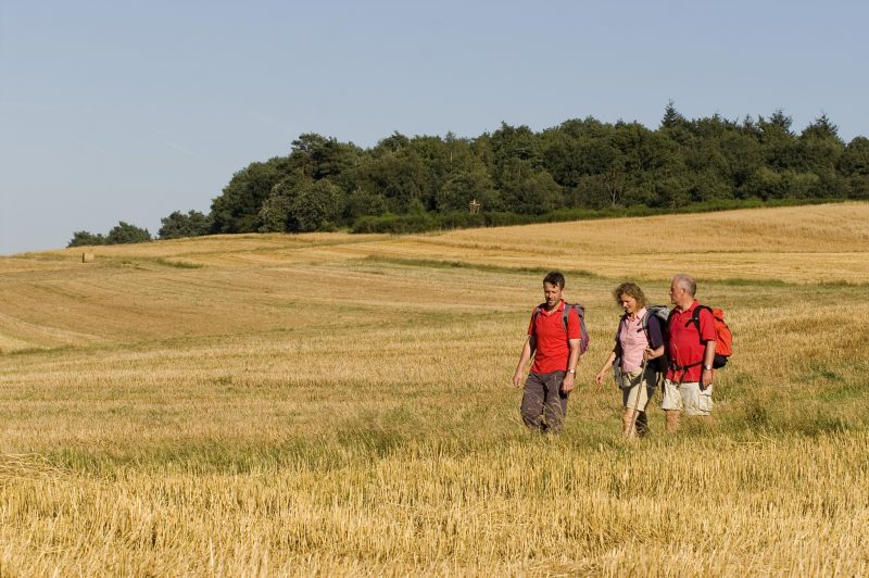
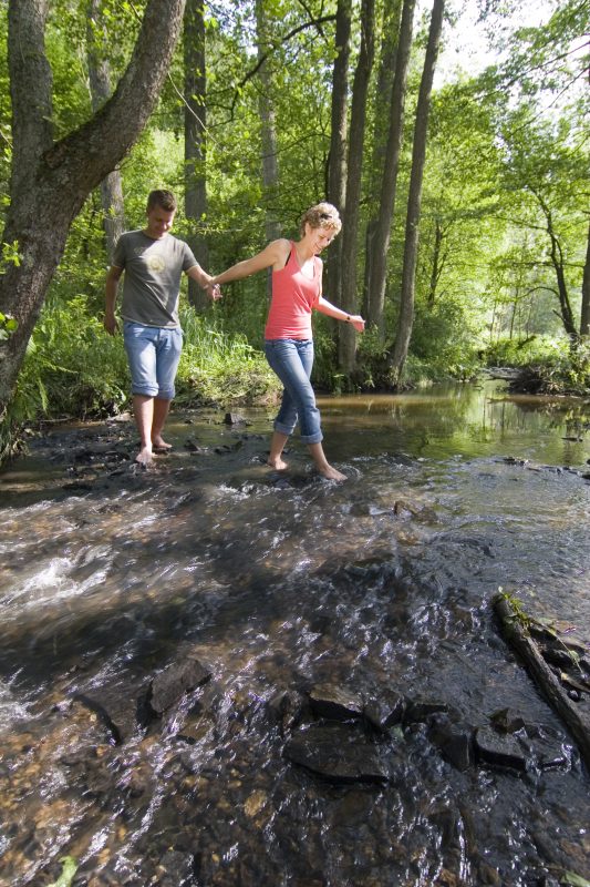
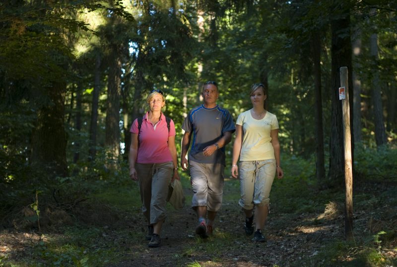
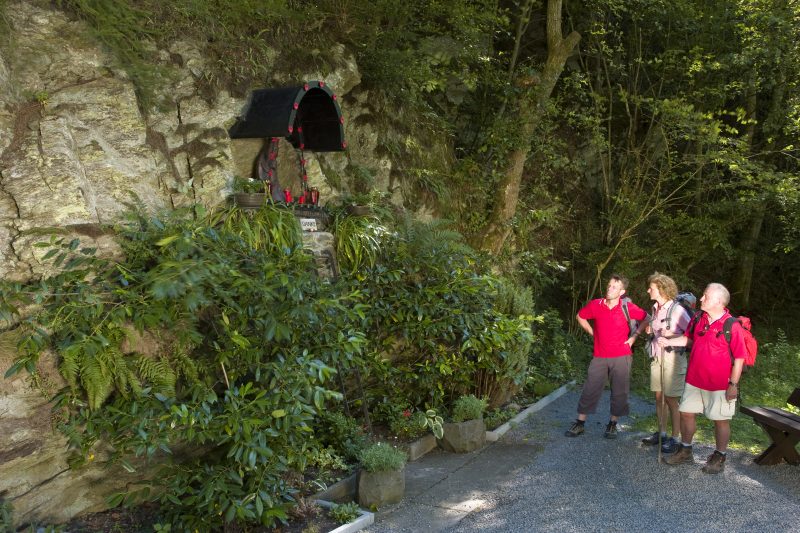
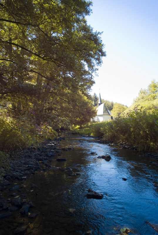
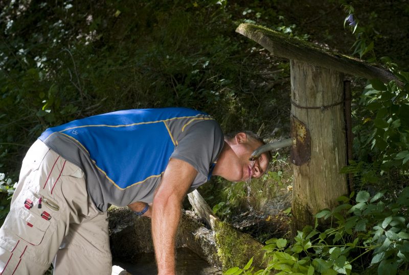
This Traumpfad leads from the church in Baar-Wanderath through fields, meadows and forested hill tops with a beautiful panoramic view towards Welschenbach. An easy ascent follows through the forest and then it is open field, meadows and great natural paths again. Gently downwards through the heath landscape and along forest and field paths into the Achterbach valley. The trail runs along the lively rippling brook to the place of worship or meditation, “Schwarze Madonna” (Black Madonna), with a spring and a small bridge. Together with the St. Josse pilgrimage route the trail follows the Achterbach brook (detour to the pilgrimage chapel of St. Jost, which is well worth seeing, is also possible).

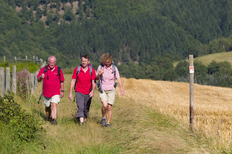
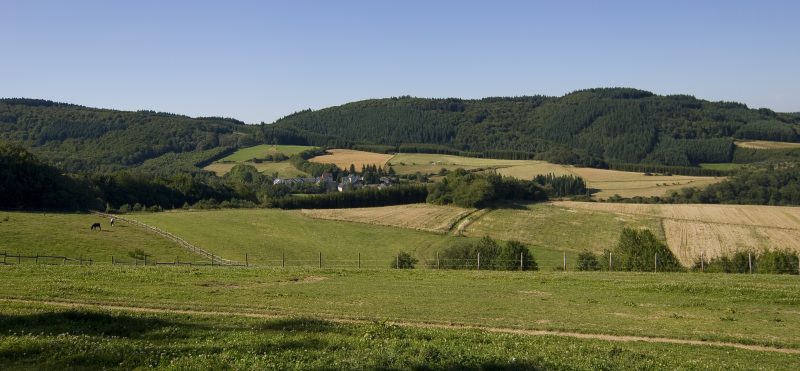
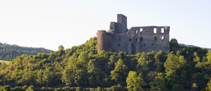
Back to the fork the trail continues upards in the Nitzbach valley, along lovely slate cliffs. At Welschenbach it goes into forest that gets more and more dense and past an old quarry. After crossing the brook and the climb, at the edge of the forest there is a marvellous view of Virne Castle. The path continues uphill through meadows, then on to the juniper heath at Hohe Warte. The Wanderather trail goes around the Hohe Warte and then, at its west side, descends to the valley. Here it soon becomes a natural footpath leading uphill, back to Wanderath.

Highlights at Traumpfad

  • Panoramic paths Wanderath-Welschenbach
  • Hohe Warte - Wanderath and Welschenbach - Acht
  • Achterbach valley with the Black Madonna and St. Josse springs
  • Pilgrimage chapel St. Jost
  • Kramershardt juniper heath on the south slope of the Hohe Warte

Information about Traumpfad "Wanderather"

Length

12 km

Altitude

304 m

Duration

4 hours

Difficulty

leicht

How to get there
Start
Parking
3d-Flight
Public transport
  • A 48 Exit Mayen/Mendig
  • B 258 towards Nürburgring
  • towards Virneburg
  • through K12/K11 to Baar-Wanderath
56729 Baar-Wanderath Church (Hauptstraße)
  • 56729 Baar-Wanderath Church (Hauptstraße)
  • 56729 St. Jost pilgrimage chapel
Mit dem Klick aktivieren Sie das Video, es werden aber Daten, wie Ihre IP-Adresse, zu Youtube übertragen.
Video anzeigen
Destination Stop:
Oberbaar
Lines:
  • 344 (Mon-Sat) Mayen Ost Bf. – Herresbach
  • 528 (school days) Adenau – Baar

Links

Impressions from the Traumpfad "Wanderather"

Notes

Traumpfad open

Explore more Traumpfade

Traumpfade 1

Waldseepfad Rieden

Length: 14,2 km

Difficulty: moderate

go to Traumpfad "Waldseepfad Rieden"
Mutter und Tochter befühlen Wacholderheiden

Wacholderweg

Length: 8,8 km

Difficulty: moderate

go to Traumpfad "Wacholderweg"
Vulkanpfad Wanderweg

Vulkanpfad

Length: 6,6 km

Difficulty: moderate

go to Traumpfad "Vulkanpfad"
Traumpfade 2

Virne-Burgweg

Length: 9,9 km

Difficulty: moderate

go to Traumpfad "Virne-Burgweg"
Traumpfade 3

Vier-Berge-Tour

Length: 12,9 km

Difficulty: hard

go to Traumpfad "Vier-Berge-Tour"
Rast auf einer Bank

Pellenzer Seepfad

Length: 16 km

Difficulty: hard

go to Traumpfad "Pellenzer Seepfad"
nette schieferpfad

Nette-Schieferpfad

Length: 9,2 km

Difficulty: moderate

go to Traumpfad "Nette-Schieferpfad"
Traumpfade 4

Monrealer Ritterschlag

Length: 13,7 km

Difficulty: hard

go to Traumpfad "Monrealer Ritterschlag"
Zwei Wanderer rasten auf einem Felsen

Hochbermeler

Length: 10 km

Difficulty: leicht

go to Traumpfad "Hochbermeler"
heidehimmel-volkesfeld

Heidehimmel Volkesfeld

Length: 9,3 km

Difficulty: moderate

go to Traumpfad "Heidehimmel Volkesfeld"
Traumpfade 5

Förstersteig

Length: 14,7 km

Difficulty: hard

go to Traumpfad "Förstersteig"
Wanderer kühlen ihre Füße ab

Booser Doppelmaartour

Length: 9,1 km

Difficulty: easy

go to Traumpfad "Booser Doppelmaartour"
Traumpfade 6

Bergheidenweg

Length: 10,3 km

Difficulty: moderate

go to Traumpfad "Bergheidenweg"
Our partners