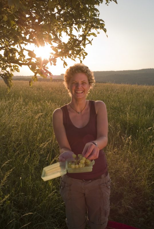
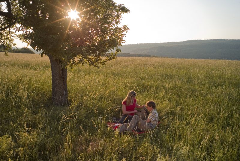
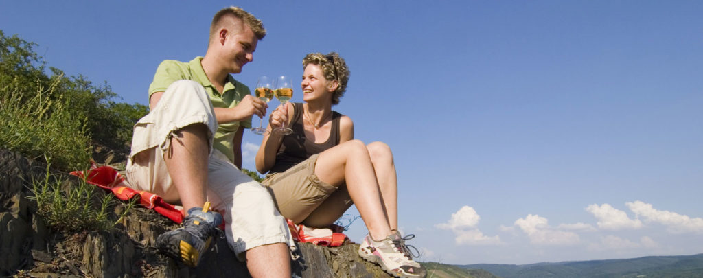
2 Wanderer machen ein Picknick

Wolfsdelle

Hike along the Rhine Traumpfad Wolfsdelle (Wolf’s Pit)

A high level hiking holiday – that is what the Traumpfad Wolfsdelle offers. It is one of the excursion destinations that can be reached easily, not only from Koblenz but also from Mayen or Bendorf. Along historic tracks the path goes to the legendary King’s Throne. A wonderful circular trail with spectacular views over the Rhine valley to the Hunsrück and Taunus mountain ranges.

Description

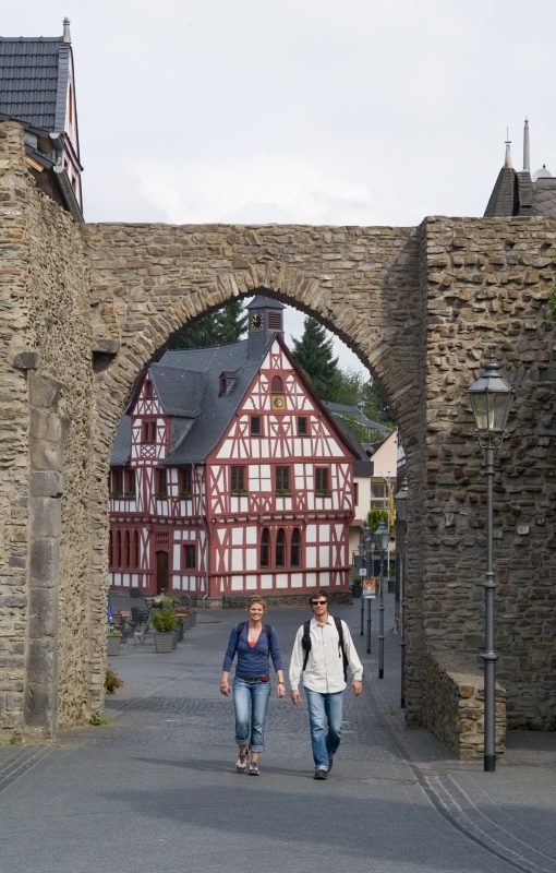
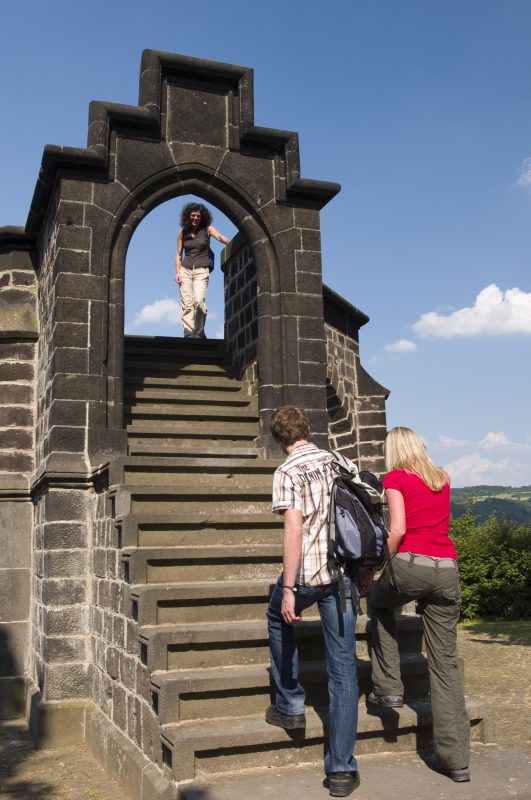
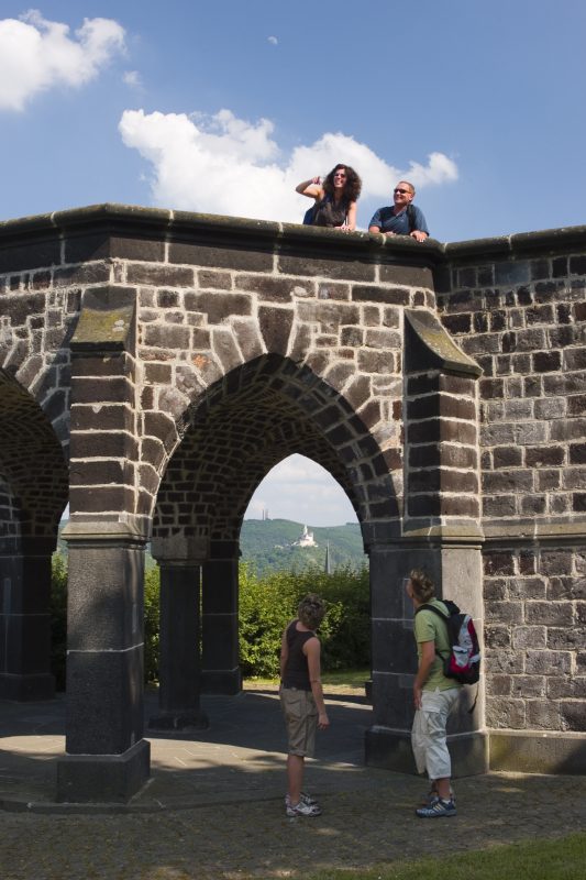
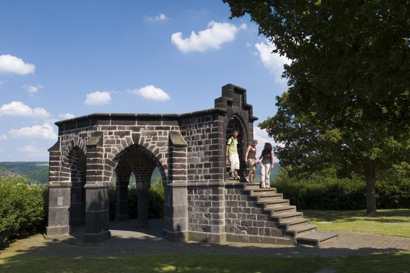
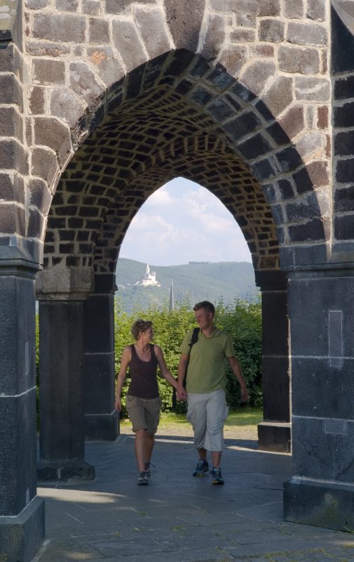
This tour is conceived as a circular hiking tour and starts at the Alten Rathaus (Old Town Hall) in Rhens. From here the trail passes through the cattle gate of the medieval town wall over an uphill path to the Rhine plateau. Here it is rewarding to make a short detour to the King’s Throne, a monument of basalt rocks where kings in the Middle Age gave their oath of loyalty. A wonderful panoramic view of the Rhine from the Marksburg Castle to the fortress of Ehrenbreitstein makes an inviting stop. Then upwards along a footpath and narrow serpentines to the viewpoint "Lützelforst".

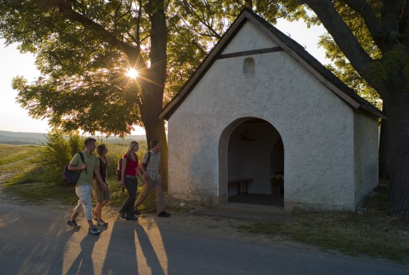
Passing the Jewish Cemetery, the trail becomes more relaxing and goes through open orchard countryside to the Holy House of St. Antonius. From here this Rhine hiking trail climbs through a mixed forest to the next hill and then winds downwards into the Upper Mühlental (Mill Valley). After a short steep climb, the Kriesenkopf of the Rhine heights is reached. The spectacular view of the Hunsrück and Taunus rewards the effort. Now the trail continues down through the forest to the gulley or narrow pass "Wolfsdelle" (Wolf’s Dell or Dingle), lined with old gnarled trees and on to the Lower Mühlental (Mill Valley).

The Nicolas Chapel on the side of the path is a reminder of an ancient fishing village. Continuing along a narrow path on the banks of the Mühlenbach brook the trail returns to its starting point. A great day excursion for everyone making a hiking holiday along the Rhine.


Highlights at Traumpfad

  • An attractive distant view of the UNESCO World Heritage site Upper Middle Rhine Valley
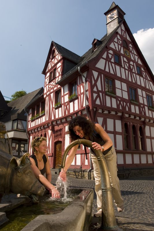
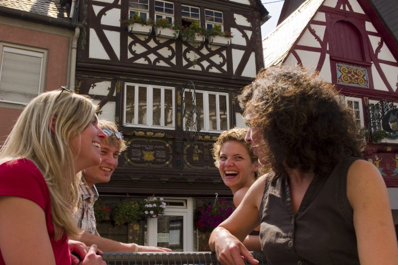
  • Idyllic half-timbered houses in Rhens with the historic King’s Throne
  • Meadows of Upper Mühlbachtal (Mill Valley)
  • Rhine heights’ Kriesenkopf
  • Panoramic view of the Rhine and the Marksburg Castle as well as the Ehrenbreitstein citadel in Koblenz

Information about Traumpfad "Wolfsdelle"

Length

10,4 km

Altitude

317 m

Duration

3:30 hours

Difficulty

moderate

How to get there
Start
Parking
3d-Flight
Public transport
  • B 9 bis 56321 Rhens (towards town central)
  • 56321 Rhens, Market Place Rhens (Bramleystraße/Auf der Lay)
56321 Rhens Market Place Rhens (Bramleystraße/Auf der Lay)
  • 56321 Rhens, Bramleystraße (towards town central)
  • 56231 Rhens, train station
  • Parish church/Kindergarten and station at Rhens
Mit dem Klick aktivieren Sie das Video, es werden aber Daten, wie Ihre IP-Adresse, zu Youtube übertragen.
Video anzeigen
Destination Stop:
Rhens, station
Lines:
  • RB 32 „Mittelrheinbahn“ (every day) Koblenz - Mainz
  • Linie 670 RegioBus: Koblenz-Rhens-Spay-Boppard

Links


Impressions from the Traumpfad "Wolfsdelle"

Notes

Traumpfad open

Explore more Traumpfade

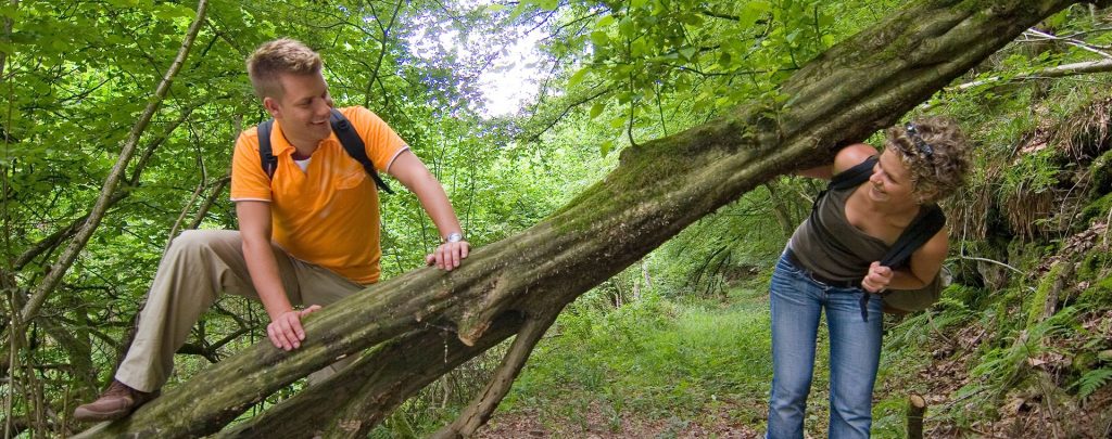
Wanderer klettern über einen umgefallenen Baum

Waldschluchtenweg

Length: 11,1 km

Difficulty: moderate

go to Traumpfad "Waldschluchtenweg"
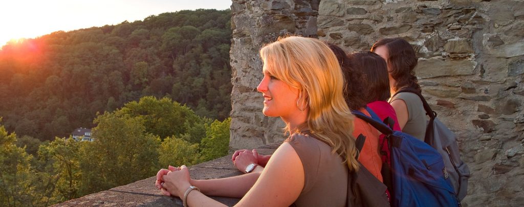
Wanderer genießen die Aussicht

Saynsteig

Length: 15,3 km

Difficulty: hard

go to Traumpfad "Saynsteig"
Traumpfade 1

Rheingoldbogen

Length: 12,6 km

Difficulty: moderate

go to Traumpfad "Rheingoldbogen"
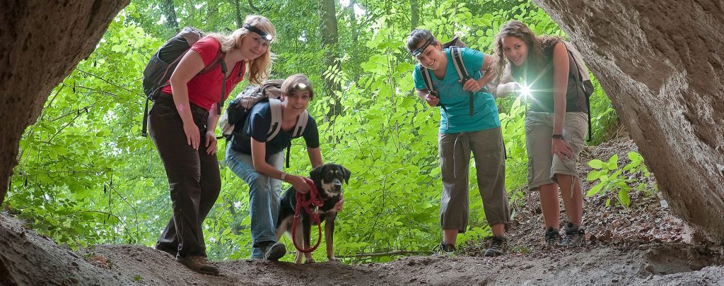
Höhlen- und Schluchtensteig

Höhlen- und Schluchtensteig

Length: 12,1 km

Difficulty: moderate

go to Traumpfad "Höhlen- und Schluchtensteig"
Our partners