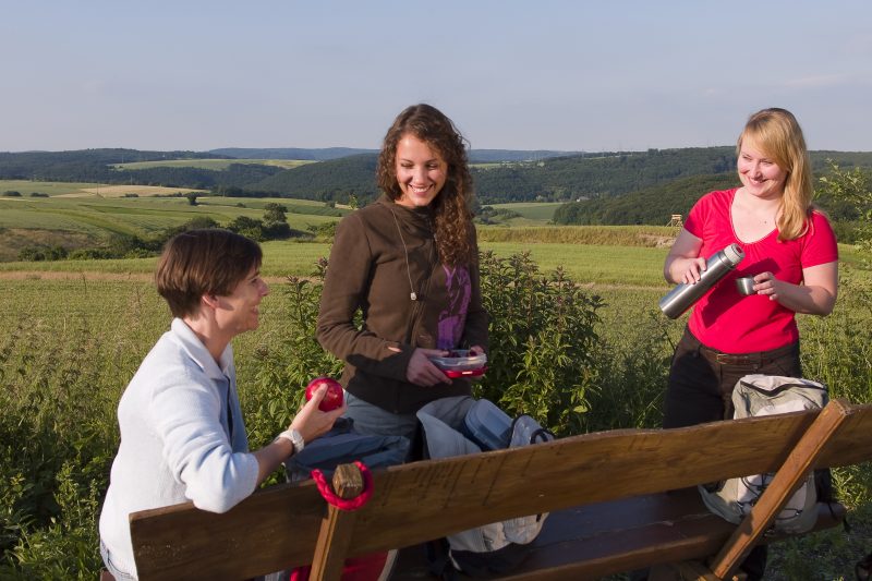
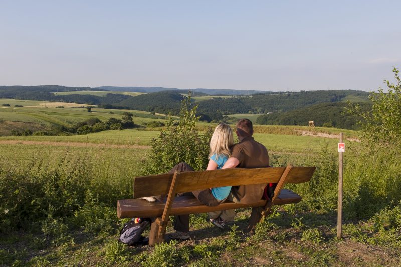
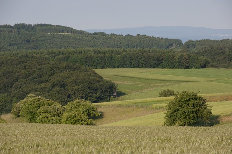
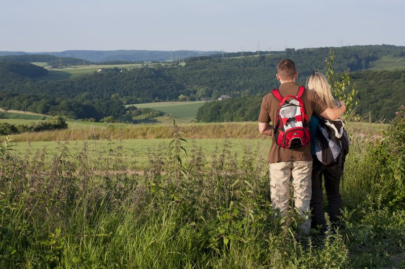
Directly after the start at the car park near the K57, the first panoramic view is revealed in the direction of Pöntertal. Field footpaths lead through the wide plain revealing again and again new views, past gnarled fruit trees to the descent down to the idyllic Krayerbach valley. Billowing reeds and huge hedges line the way down to Kryermühle (Kryer Mill). Watercourses accompany the hiker down to the deeply carved Pönterbach valley. And soon the path goes steeply upwards to the refuge hut, and shortly afterwards, a detour to the viewpoint “Schweppenburgblick”. The further course of the trail is characterised by lovely views of the volcanic landscape.
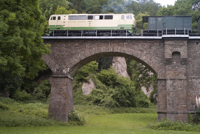
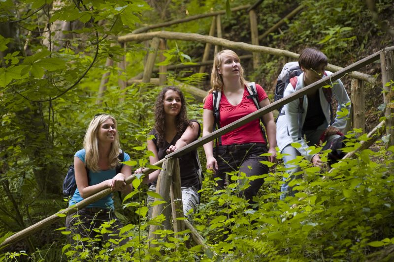
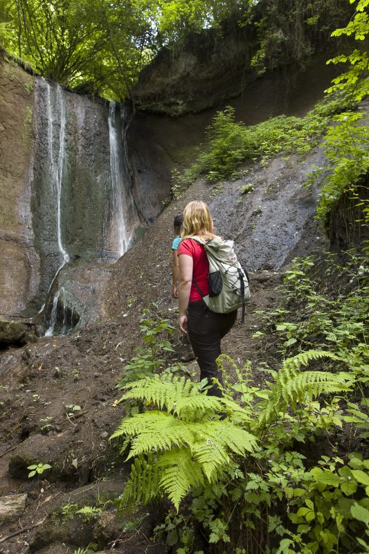
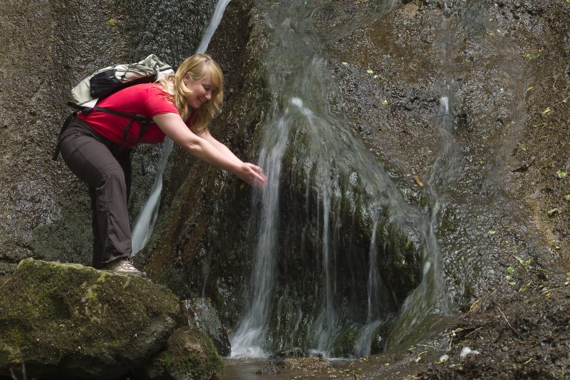
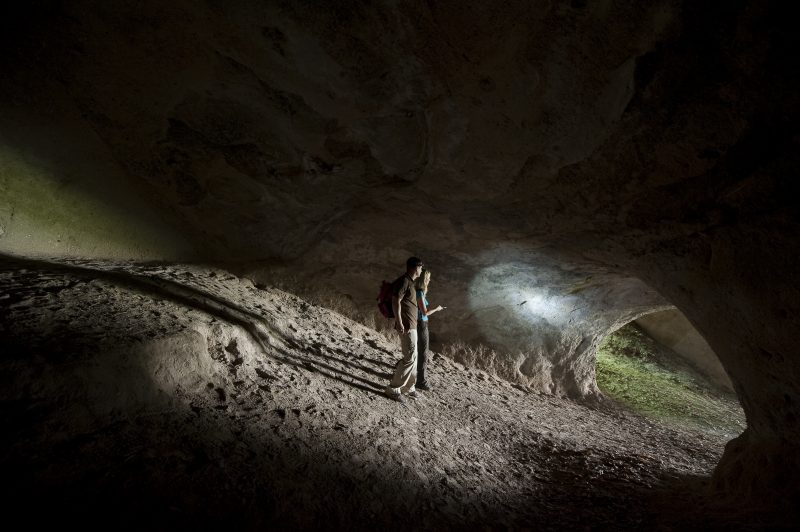
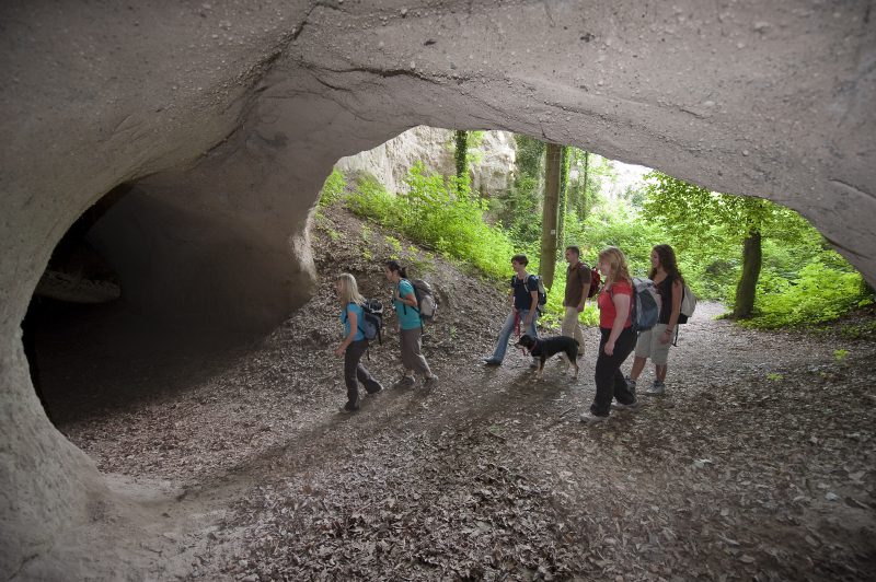
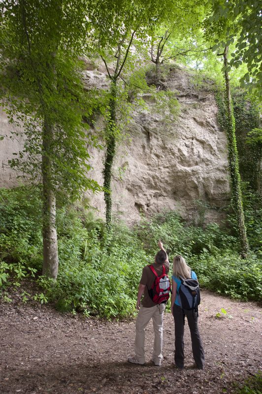
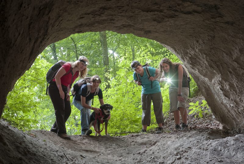
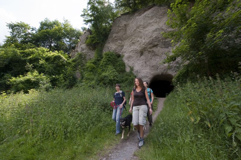
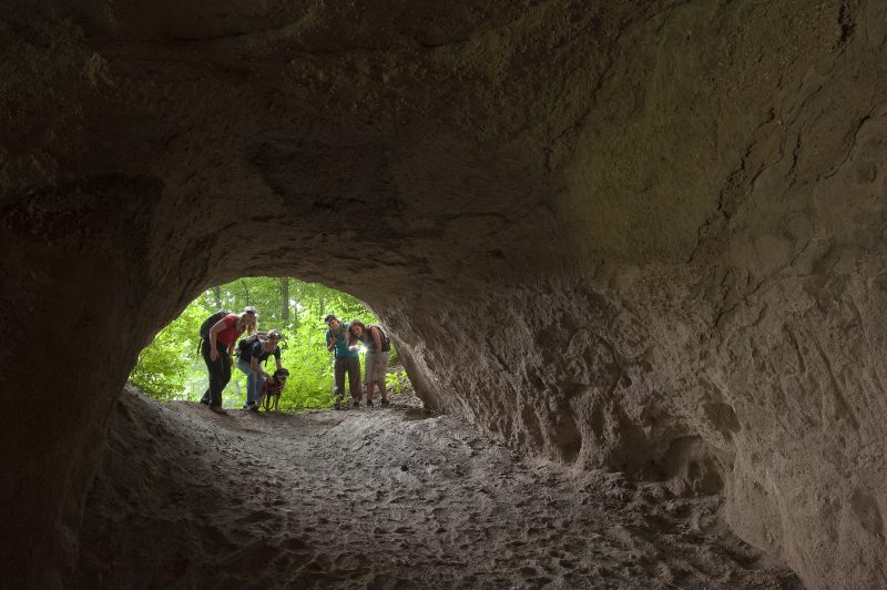
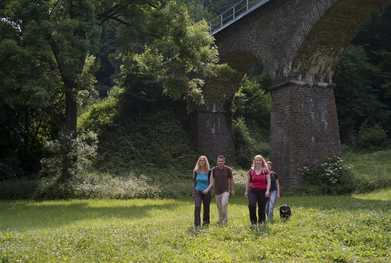
The path, now called the Hermanns-Löns-Pfad, continues along a rock slope steeply downwards to the Jägerheim Inn. Here the path goes under the mighty viaduct, over a meadow through man-high walkable tuff caves. Tuff walls and the remains of the Tönisstein monastery can be discovered at the side of the path before it enters the Wolf’s Dell. Fantastic rock formations, jungle atmosphere, bubbling springs in the brook’s bed, and even a waterfall can be seen here. Tolle Felsformationen, Urwaldatmosphäre, sprudelnde Quellen im Bachbett und sogar ein Wasserfall werden geboten..
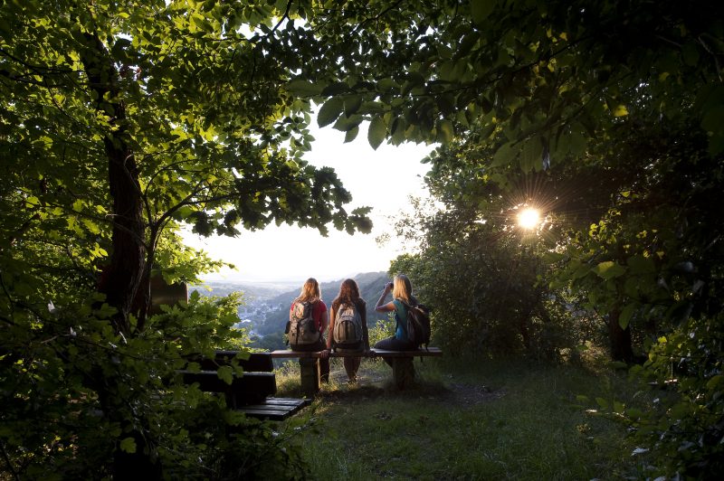
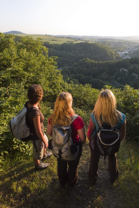
The way continues on the L113 long the edge of the forest, slightly uphill to the Roman spring, where water containing CO2 and having a slight smell of sulphur bubbles out of it. The path curves into a tranquil side valley, past another bubbling spring, and then left along an uphill forest path on to an alpine plateau that reveals the impressive “Siebengebirgsblick”. Soon the starting point is reached.