Wanderer beim Abstieg auf dem Bergschluchtenpfad

Bergschluchtenpfad Ehrenburg

Hiking along the Mosel-Traumpfad Bergschluchtenpfad Ehrenburg (Ehrenburg Mountain Canyon Trail)

Through stunning landscapes on the steep slopes of the Mosel, deep canyons, along bubbling brooks, plunge into the Middle Ages at the wildly romantic Ehrenburg Castle, crowned with spectacular views of the Mosel and the Mosel valley.

Description

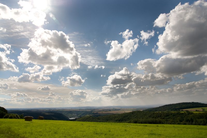
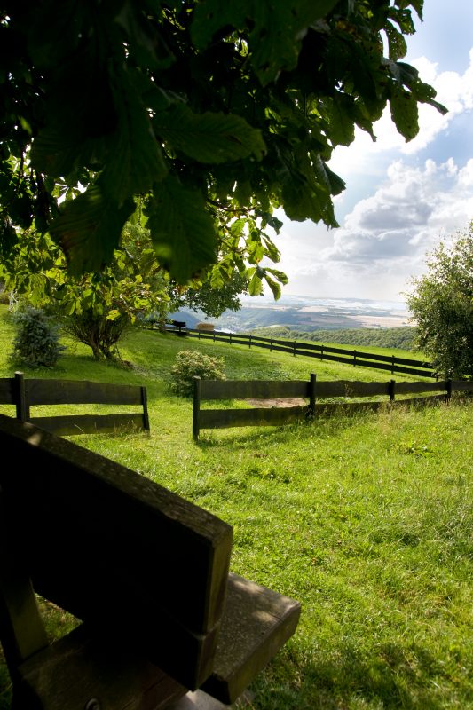
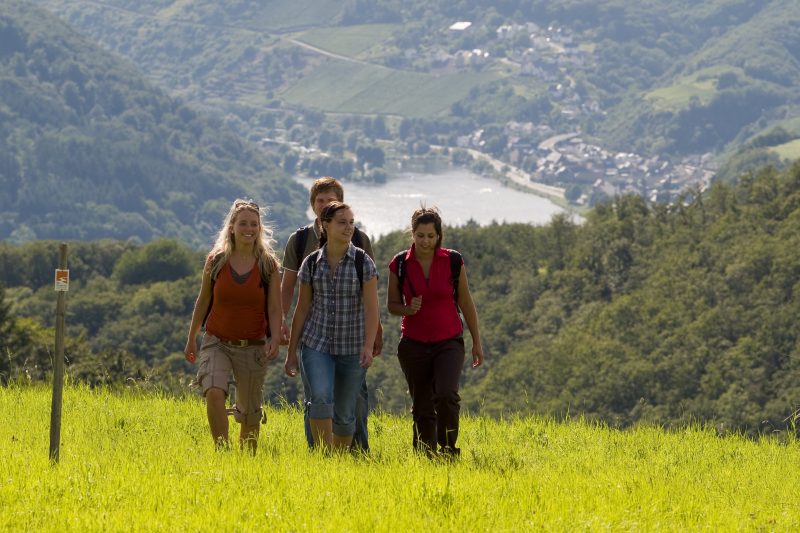
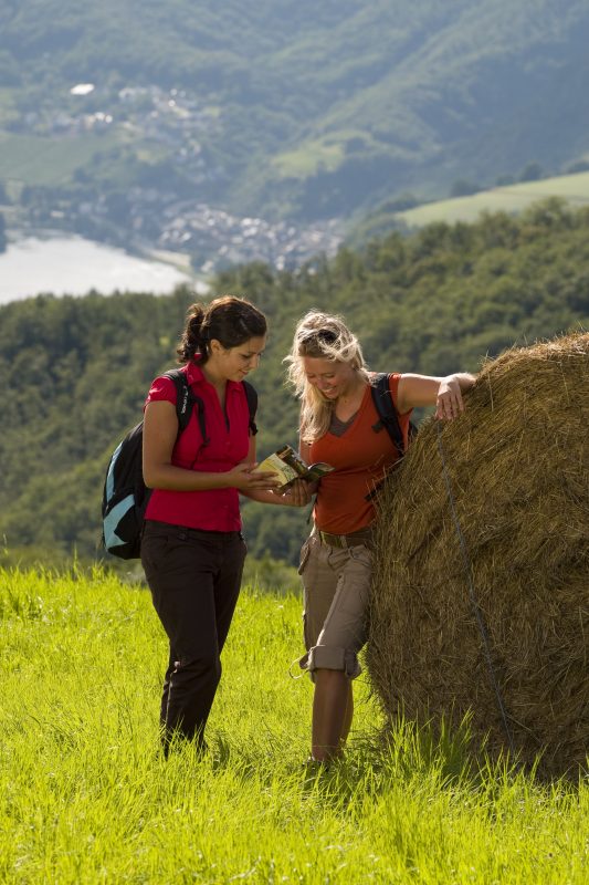
The Mountain Canyon Trail begins in Brodenbach and first leads the hiker into the "Brodenbachtal" (Brodenbach valley). Lined by steep escarpments, the trail continues uphill along narrow paths to be rewarded with spectacular views. The passage that follows through the Mosel escarpment leads to a refuge hut, where the river Mosel lies at the hiker’s feet. The next target is to conquer and go round the Schafberg mountain, from where there is a panoramic view over the entire region. Traversing the long mountain, the path goes first to Nörtershausen and then into the Brodenbach valley.

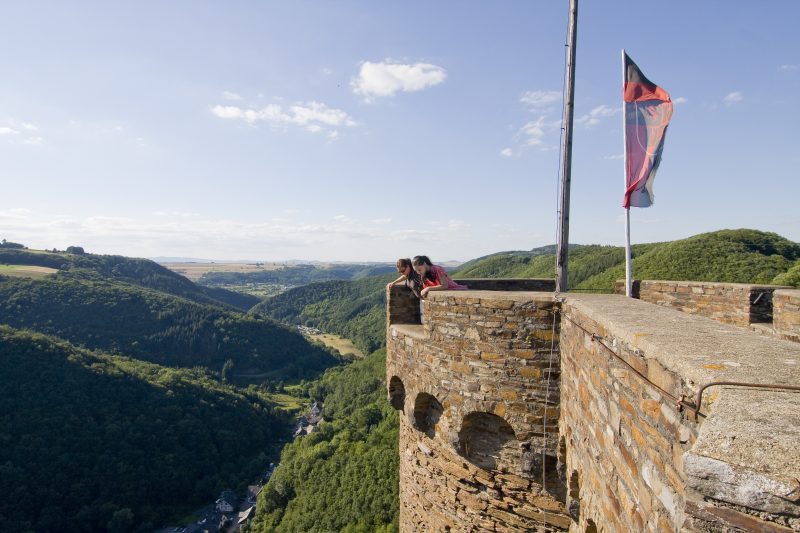
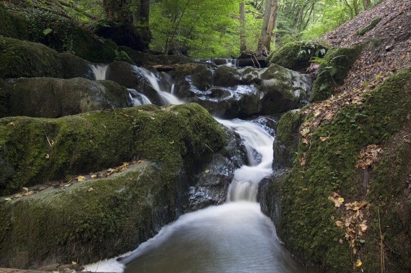
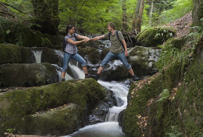
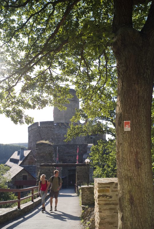
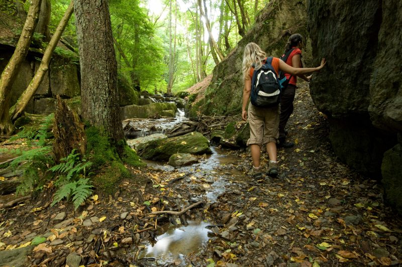
The unspoilt nature, the steep rocks and secret caves, as well as the Donnerloch with its change between rocks and bubbling water put a spell on the hiker. After leaving the valley, the mighty Ehrenburg mountain is the next target. Defiantly, Ehrenburg castle dominates perched on a rocky ledge high over the Ehrbach Crest and creates a real “medieval feeling”. Before arriving at the castle bridge, the trail goes through the unspoilt Ehrenbach valley, initially downhill, before a last climb up the final passage along the “Sonnenringpfad” leads directly into a steep slope in the direction of the Mosel valley. A narrow serpentine path turns and twists downhill to Ehrenmal, from where there is a last view of the Mosel. Having arrived at Brodenbach, the trail returns to its starting point.

Highlights at Traumpfad

  • Rock trough Donnerloch
  • Teufelslay mountain
  • Panorama view from the Schafberg
  • Nörtershausen plateau
  • Wild romantic Ehrenburg Castle

Information about Traumpfad "Bergschluchtenpfad Ehrenburg"

Length

18,6 km

Altitude

879 m

Duration

5:30 hours

Difficulty

hard

How to get there
Start
Further access
Parking
3d-Flight
Public transport
  • B 49 along the Moselle to Brodenbach
  • A 61 Exit Waldesch over L207 to Moselle
  • 56332 Brodenbach (Salzwiese 7)
56332 Brodenbach close to police station (Niederbach 1)
56332 Brodenbach, car park Ehrenburg
56332 Brodenbach (Salzwiese 7)
Mit dem Klick aktivieren Sie das Video, es werden aber Daten, wie Ihre IP-Adresse, zu Youtube übertragen.
Video anzeigen
Destination Stop:
Brodenbach, Niederbach
Lines:
  • Linie 31 Koblenz Hbf – Burgen (Mosel)

Links

Impressions from the Traumpfad "Bergschluchtenpfad Ehrenburg"

Notes

Traumpfad open

Explore more Traumpfade

2 Wanderer genießen den Ausblick

Schwalberstieg

Length: 13,2 km

Difficulty: moderate

go to Traumpfad "Schwalberstieg"
Traumpfade 1

Pyrmonter Felsensteig

Length: 11,4 km

Difficulty: moderate

go to Traumpfad "Pyrmonter Felsensteig"
Wanderer im Weinberg mit einem Winzer

Koberner Burgpfad

Length: 17 km

Difficulty: hard

go to Traumpfad "Koberner Burgpfad"
Traumpfade 2

Hatzenporter Laysteig

Length: 11,9 km

Difficulty: hard

go to Traumpfad "Hatzenporter Laysteig"
Wanderer schauen auf Burg Eltz

Eltzer Burgpanorama

Length: 12,6 km

Difficulty: moderate

go to Traumpfad "Eltzer Burgpanorama"
Traumpfade 3

Bleidenberger Ausblicke

Length: 12,8 km

Difficulty: hard

go to Traumpfad "Bleidenberger Ausblicke"
Our partners