Wanderer im Weinberg mit einem Winzer

Koberner Burgpfad

Hike along the Mosel-Traumpfad Koberner Burgpfad (Kobern Castle Trail)

Fabulous passages through unspoilt forests, on wooden footbridges over bubbling brooks, the Oberburg and Niederburg Castles majestically overlook picturesque vineyards. Cultural highlights are the late Roman St. Matthew’s Chapel and a celtic place of worship.

Description

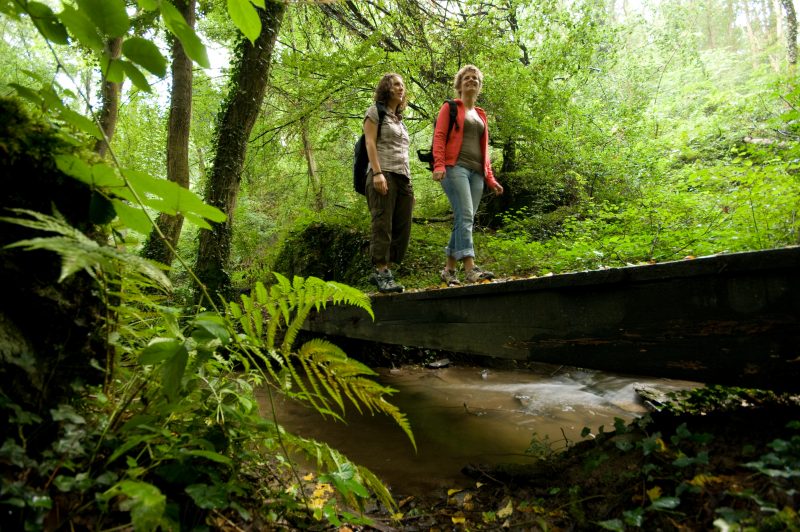
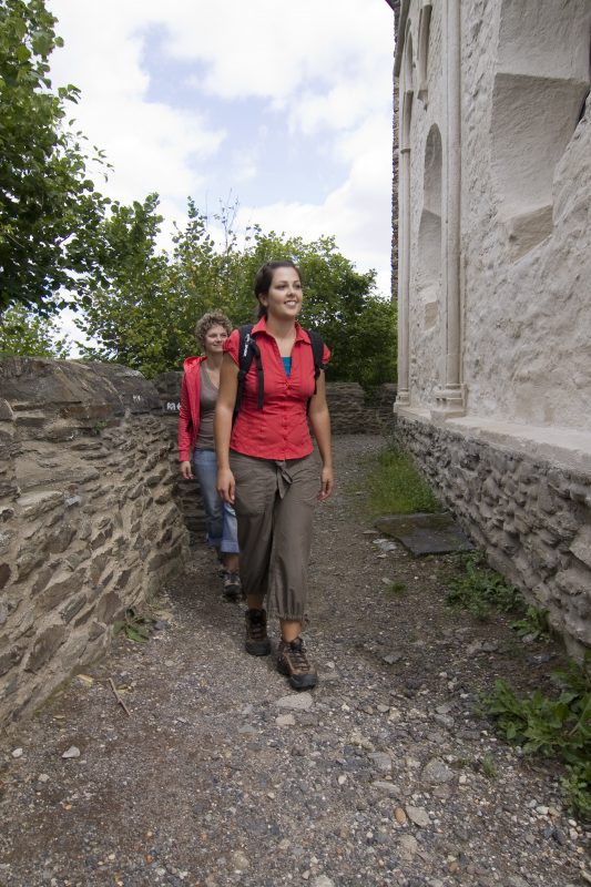
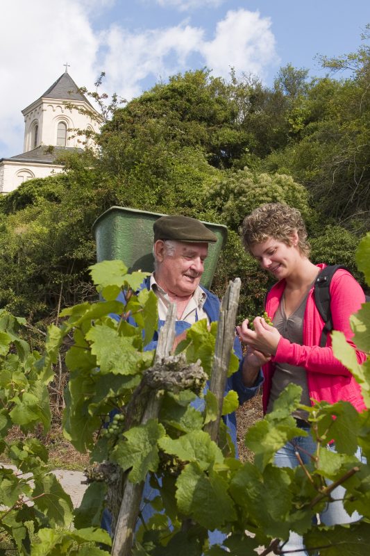
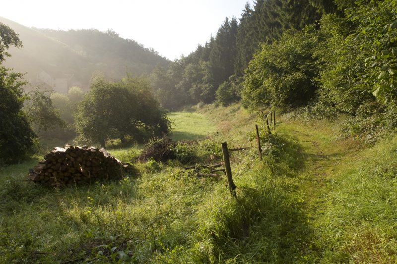
Starting point is the vicarage in Kobern, from where a narrow serpentine path goes uphill, giving the first lovely views over the Mosel valley. Arriving on a plateau, the hiker is in contact with the fascinating world of wine-making. Keeping in close touch with nature, the path leads into the valley to the Gerlach Mill. Here the trail starts into the dreamlike Keverbach valley with idyllic forests and lively rippling brooks. Past the buildings at Solligerhof, a varied landscape appears to the hiker: everything is offered, from the fabulous distant view, to open plateaus, flowering hedges and cool high forests.

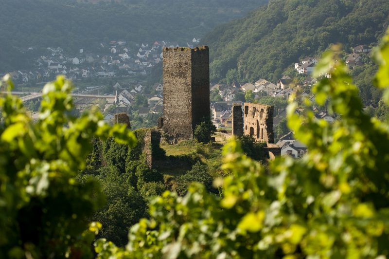
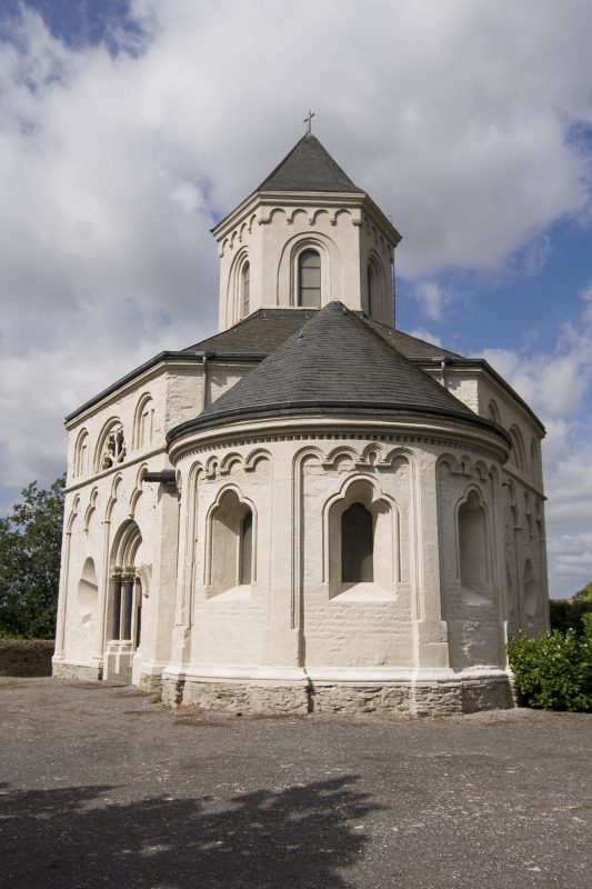
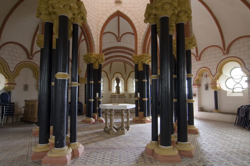
A diversion leads to the celtic place of worship: the Golo Ring. The path continues through venerable birch and mixed deciduous forests until at the edge of the forest there is a great view of Wolken and its surroundings. The route continues past the Sauerbrunnen and the Quidoborn, two natural mineral springs. After being refreshed by the delicious water, the next climb is easily conquered and is rewarded with a fantastic view of the impressive St. Mathew’s Chapel and the Oberburg Castle. The final descent over the crossroads also offers overwhelming views and a recommendable detour to the ruin of Niederburg Castle, before reaching the destination of Kobern.

Highlights at Traumpfad

  • Wine village Kobern-Gondorf
  • Vineyard hills
  • Keverbach valley
  • Gerlach mill
  • Solligerhof
  • Mystical Golo Ring
  • Wolken
  • St. Matthew’s Chapel
  • Medieval Oberburg and Niederburg Castles

Information about Traumpfad "Koberner Burgpfad"

Length

17 km

Altitude

517 m

Duration

5:30 hours

Difficulty

hard

How to get there
Start
Further access
Parking
3d-Flight
Public transport
  • B 416 along the Moselle to Kobern-Gondorf
  • car port at the manse
56330 Kobern-Gondorf Manse (Mühlengraben 27)
56332 Wolken
56330 Kobern-Gondorf Manse (Mühlengraben 27)
Mit dem Klick aktivieren Sie das Video, es werden aber Daten, wie Ihre IP-Adresse, zu Youtube übertragen.
Video anzeigen
Destination Stop:
Kobern-Gondorf Bahnhof
Lines:
  • RE 1 „Mosel-Saar-Express“ (every day) Koblenz – Trier – Saarbrücken
  • RB 81 „Moseltal-Bahn“ (every day) Koblenz – Trier

Links

Impressions from the Traumpfad "Koberner Burgpfad"

Notes

Traumpfad open

Explore more Traumpfade

2 Wanderer genießen den Ausblick

Schwalberstieg

Length: 13,2 km

Difficulty: moderate

go to Traumpfad "Schwalberstieg"
Traumpfade 1

Pyrmonter Felsensteig

Length: 11,4 km

Difficulty: moderate

go to Traumpfad "Pyrmonter Felsensteig"
Traumpfade 2

Hatzenporter Laysteig

Length: 11,9 km

Difficulty: hard

go to Traumpfad "Hatzenporter Laysteig"
Wanderer schauen auf Burg Eltz

Eltzer Burgpanorama

Length: 12,6 km

Difficulty: moderate

go to Traumpfad "Eltzer Burgpanorama"
Traumpfade 3

Bleidenberger Ausblicke

Length: 12,8 km

Difficulty: hard

go to Traumpfad "Bleidenberger Ausblicke"
Wanderer beim Abstieg auf dem Bergschluchtenpfad

Bergschluchtenpfad Ehrenburg

Length: 18,6 km

Difficulty: hard

go to Traumpfad "Bergschluchtenpfad Ehrenburg"
Our partners