Wanderer schauen auf Burg Eltz

Eltzer Burgpanorama

Hike along the Mosel-Traumpfad Eltzer Burgpanorama (Eltz Castle Panorama Trail)

Marvellous views of the plains of the Mosel plateau and tranquil meadowlands along the bubbling Elzbach combine with a unique cultural monument: the castle per se – Eltz Castl

current route information

Description

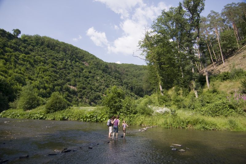
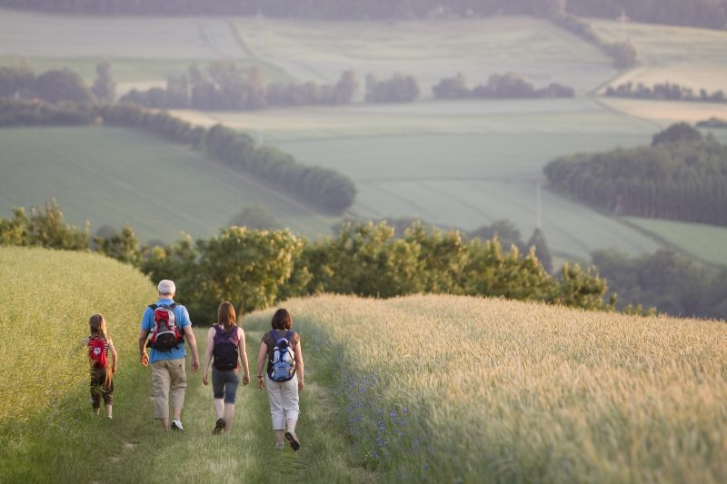
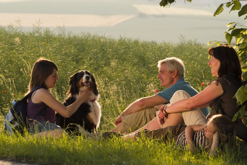
Directly after starting from the village’s community centre in Wierschem the hiker can already enjoy the vast open expanse of the Mosel plateau. The trail climbs continuously along natural footpaths, and there is the final reward of a magnificent view of the deep-cut Elzbach valley and the Pyrmont Castle. Soon further on through Count Eltz’s Forest the Elzbach is reached, meandering in countless bends. Later the path joins the Mosel Heights Trail which initially takes the hiker through valley meadowlands and finally on to a hill.

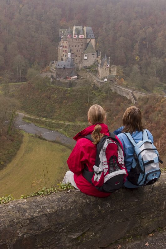
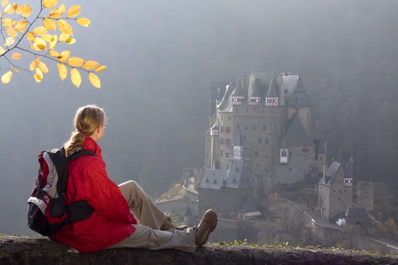
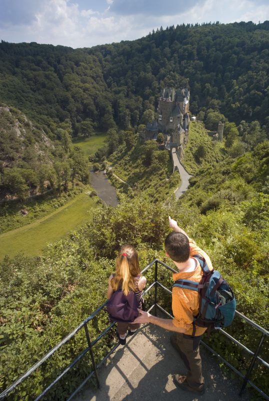
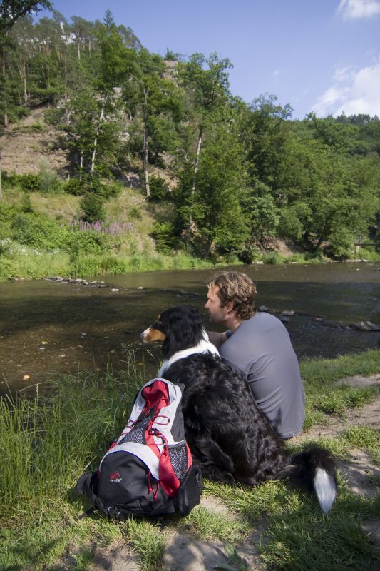
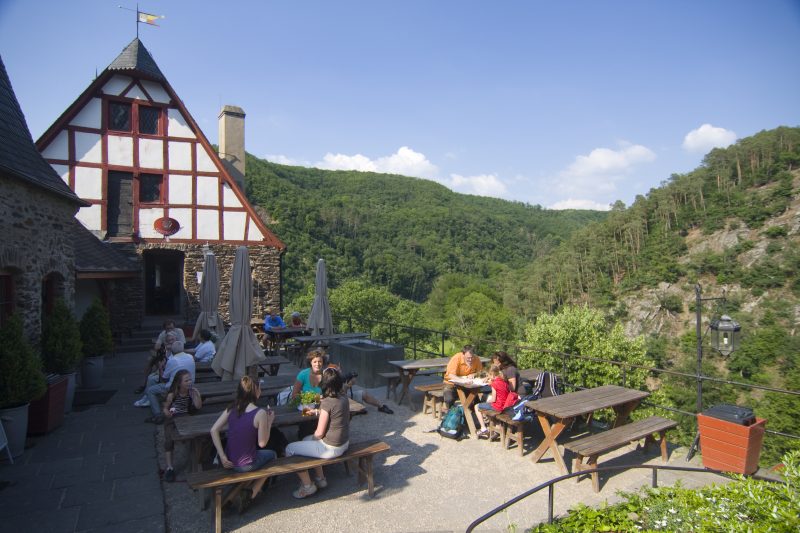
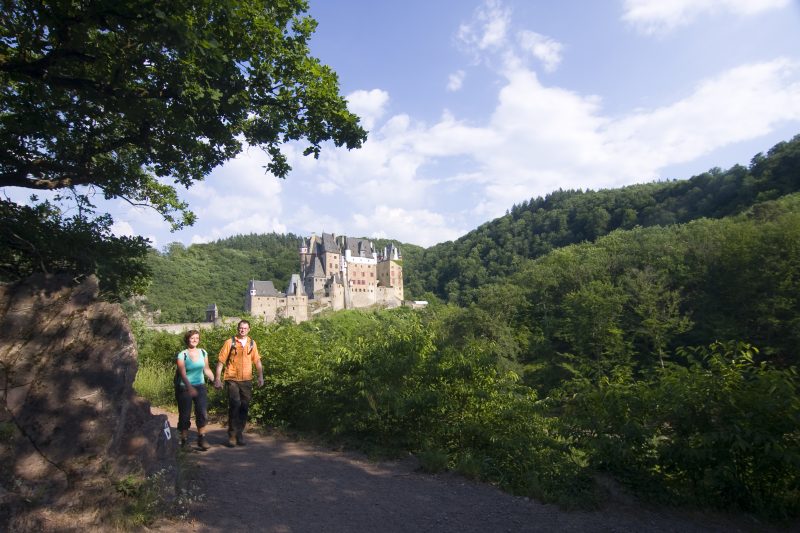
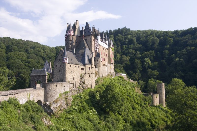
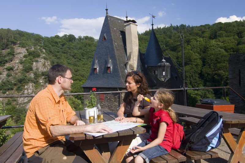
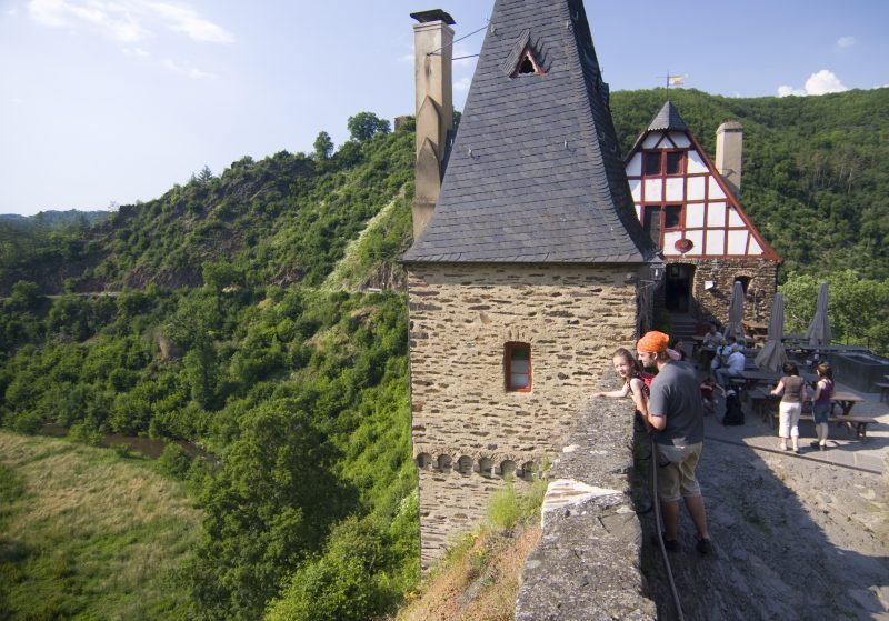
Crossing rough rocks there is a breathtaking view of the fairytale-like Eltz Castle, awaiting to be conquered over a stone bridge. After a trip back to the Middle Ages, the hiker plunges into splendid nature and marvels at the diverse nature of the river valley of the Elzbach and graceful crippled oak forests, bevore the Ringelstein Mill invites him to make a break. Refreshed, there is a magnificent but steep climb on which the hiker is repeatedly rewarded with beautiful views and which leads back on to the Mosel plateau.. Along the edge of the slope, past the Tholeisterhof, the trail continues into the tranquil valley of the Kern brook, which is followed by alternating woodland groves and open fields. Arriving again in Wierschem it is worth having a last look at the little St. Antony’s Chapel on the edge of the village.

Highlights at Traumpfad

  • Long distance view between Wierschem and Keldung
  • Beautiful views from the Mosel plateau
  • Tranquil Elzbach valley
  • Ringelstein Mill
  • The fairy-tale Eltz Castle

Information about Traumpfad "Eltzer Burgpanorama"

Length

12,6 km

Altitude

397 m

Duration

4 hours

Difficulty

moderate

How to get there
Start
Further access
Parking
3d-Flight
Public transport
  • A 48 Exit Polch
  • L113 towards Münstermaifeld
  • through K37 to Wierschem
  • car park at community centre
56294 Wierschem community centre (In den Wiesen)
  • 56294 Wierschem car park Burg Eltz (chargeable)
  • 56254 Moselkern car park Ringelsteiner Mühle (chargeable)
  • 56294 Wierschem community centre (In den Wiesen)
  • 56294 Wierschem car park Burg Eltz (to 29 March for free)
  • 56254 Moselkern car park Ringelsteiner Mühle (chargeable)
Mit dem Klick aktivieren Sie das Video, es werden aber Daten, wie Ihre IP-Adresse, zu Youtube übertragen.
Video anzeigen
Destination Stop:
Wierschem, Burg Eltz
Lines:
  • Linie 365 RegioBus: (Burg-Eltz-) Müntermaifeld-Hatzenport (01.04. bis 01.11.)

Destination Stop:
Moselkern Bahnhof
Lines:
  • RB 81 „Moseltal-Bahn“ (every day) Koblenz – Trier

Links


On the way with the castle bus

Impressions from the Traumpfad "Eltzer Burgpanorama"

Notes

current route information
Überschwemmungsgefahr von Dezember bis März

Zwischen Dezember und März besteht durch Starkregen Überschwemmungsgefahr im Bereich der Elz. Dann ist der Weg nicht wanderbar und auch nach Rückgang der Überschwemmung ist der Weg noch länger schlammig und kaum begehbar.

Traumpfade-Schilder

Auf dem Eltzer Burgpanorama kommen in der letzten Zeit immer wieder Traumpfade-Schilder abhanden. Wir möchten darauf hinweisen, dass diese in unserem Online-Shop erworben werden können. https://traumpfade.hcteam.de/traumpfade-souvenir-schild-000025?c=16


Explore more Traumpfade

2 Wanderer genießen den Ausblick

Schwalberstieg

Length: 13,2 km

Difficulty: moderate

go to Traumpfad "Schwalberstieg"
Traumpfade 1

Pyrmonter Felsensteig

Length: 11,4 km

Difficulty: moderate

go to Traumpfad "Pyrmonter Felsensteig"
Wanderer im Weinberg mit einem Winzer

Koberner Burgpfad

Length: 17 km

Difficulty: hard

go to Traumpfad "Koberner Burgpfad"
Traumpfade 2

Hatzenporter Laysteig

Length: 11,9 km

Difficulty: hard

go to Traumpfad "Hatzenporter Laysteig"
Traumpfade 3

Bleidenberger Ausblicke

Length: 12,8 km

Difficulty: hard

go to Traumpfad "Bleidenberger Ausblicke"
Wanderer beim Abstieg auf dem Bergschluchtenpfad

Bergschluchtenpfad Ehrenburg

Length: 18,6 km

Difficulty: hard

go to Traumpfad "Bergschluchtenpfad Ehrenburg"
Our partners