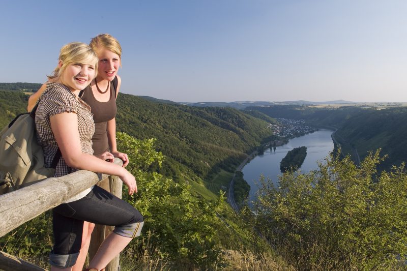
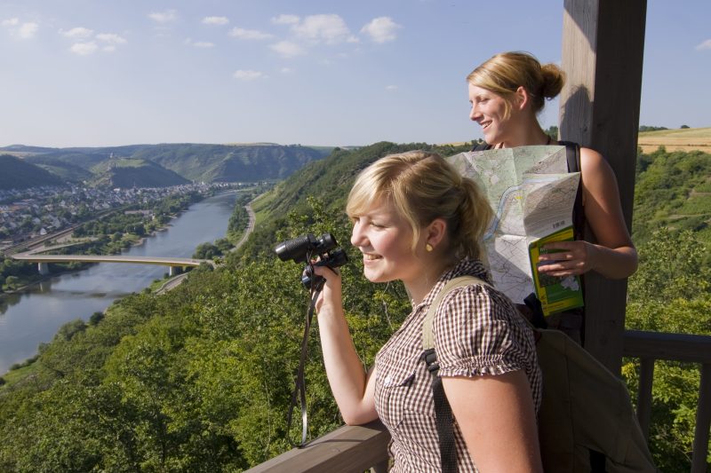
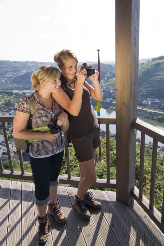
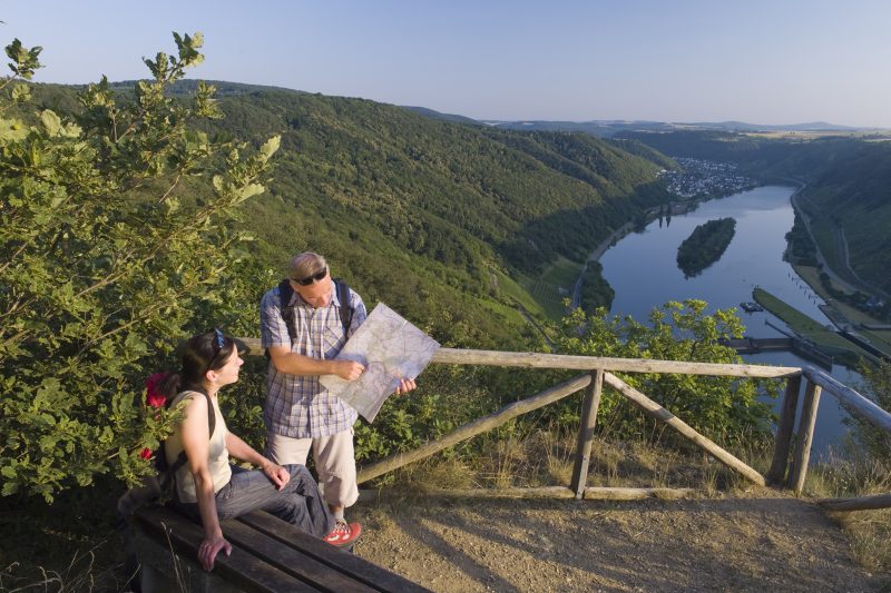
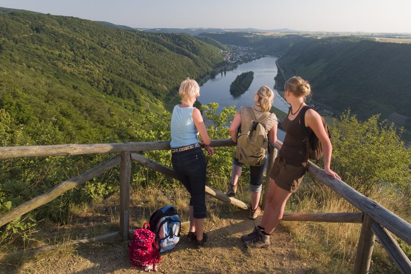
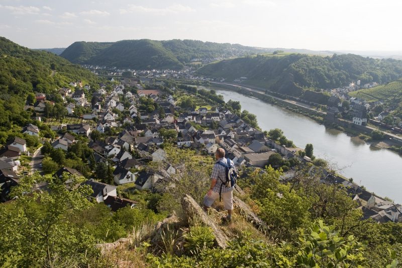
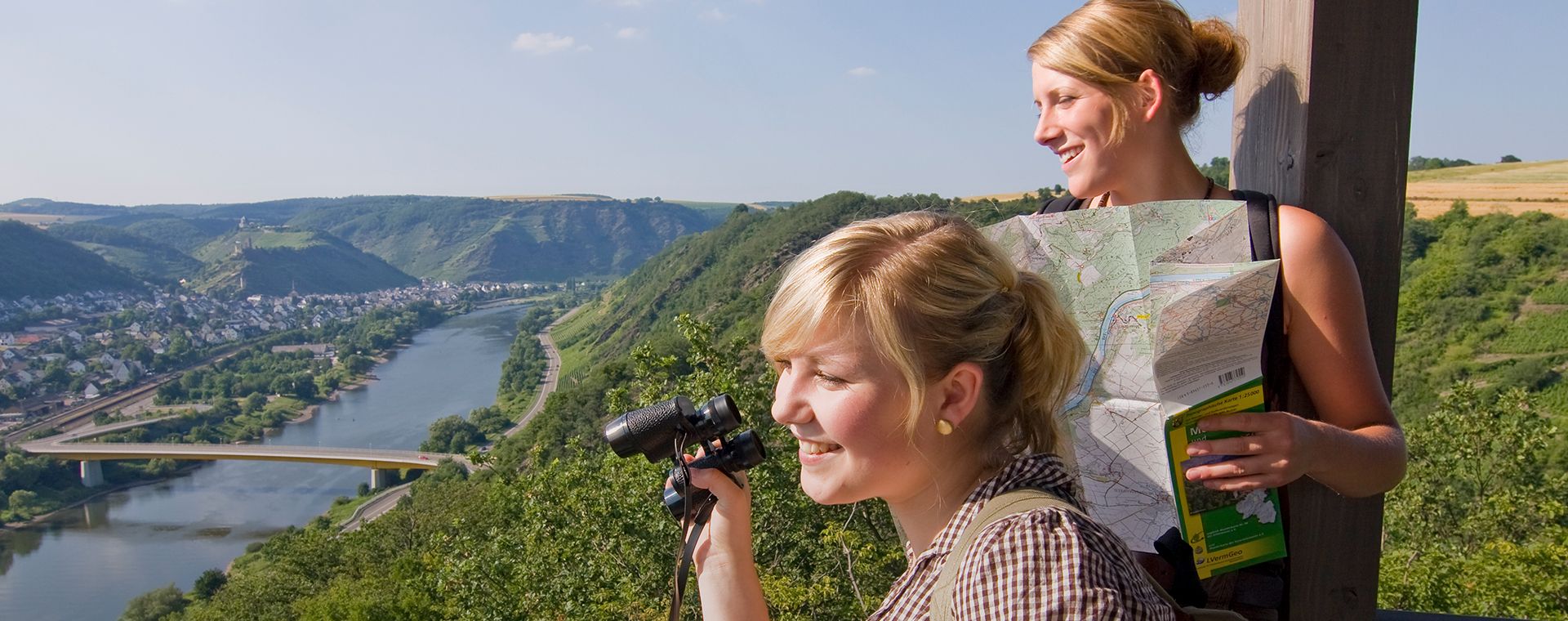
2 Wanderer genießen den Ausblick

Schwalberstieg

Hike along the Mosel-Traumpfad Schwalberstieg (Schwalber Trail)

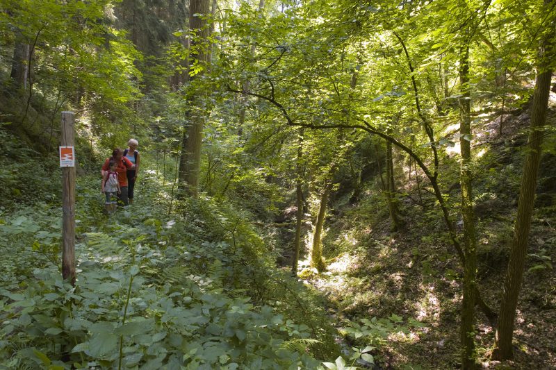
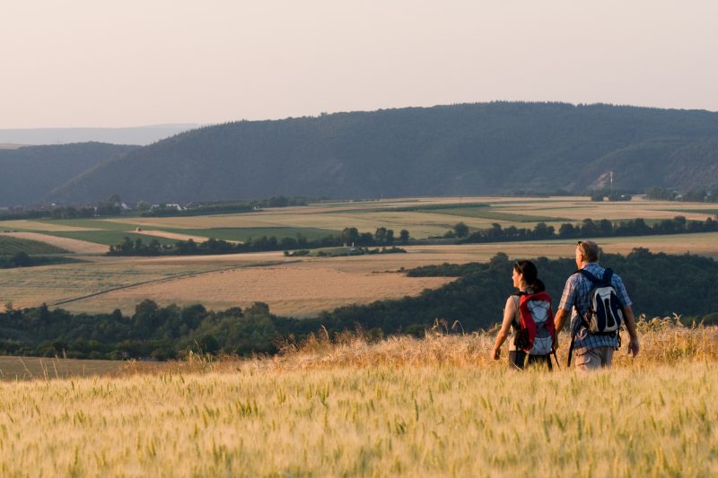
Alternating peaceful sections of forests and passages with magnificent views over the Mosel plateau are the attraction of this hike. Jungle-like paths pass through brook valleys to exposed viewpoints on Hitzlay Mountain and at Friar Felix’s Cabin.

Description

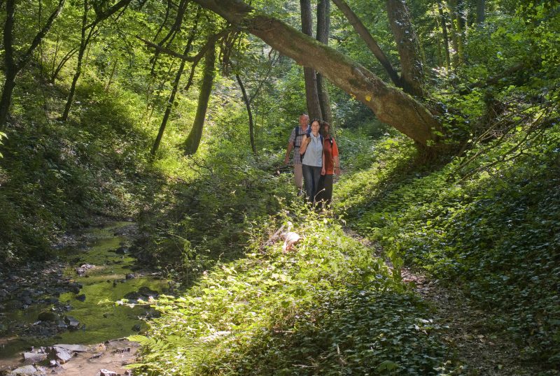
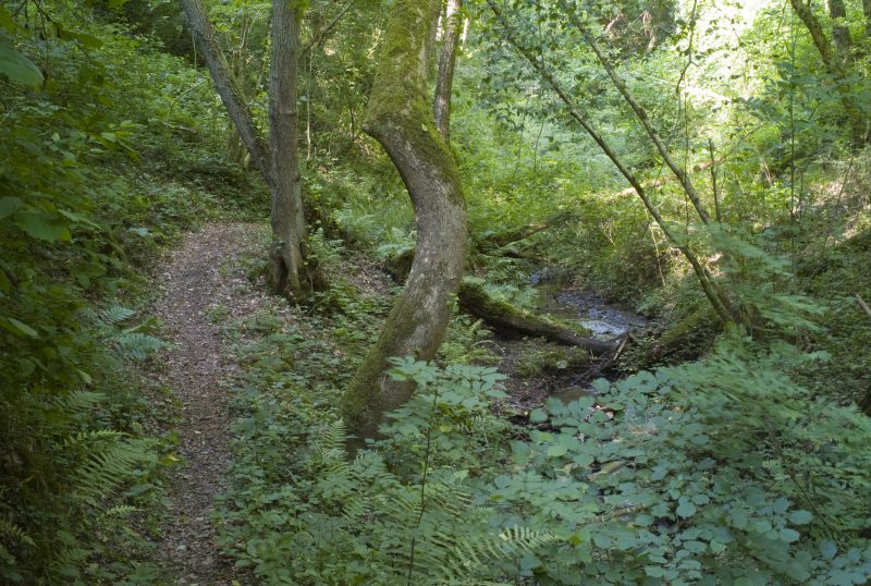
From the Linkemühle Inn in Niederfell the trail ascends gently through the Aspeler brook valley. Here the hiker finds himself in the middle of unspoilt nature: rippling brooks, crooked trees and rugged rocks inspire him to dream. A narrow path leads on to the Schwalberhof. Further on there is a great panorama view to the distant conical volcanoes of the Vordereifel, before the hiker submerges into the wonderfully tranquil Schwalberbach valley. As soon as the valley has been crossed, the path continues through a wide expanse of fields to the Arkenwälderhof and finally dives into the majestic beech high forest. The next adventure is waiting – crossing the Aspeler brook through a ford.

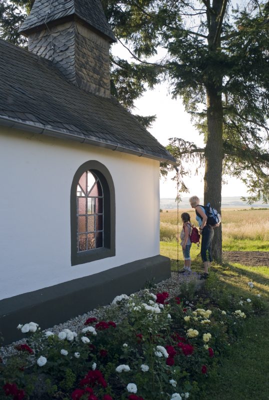
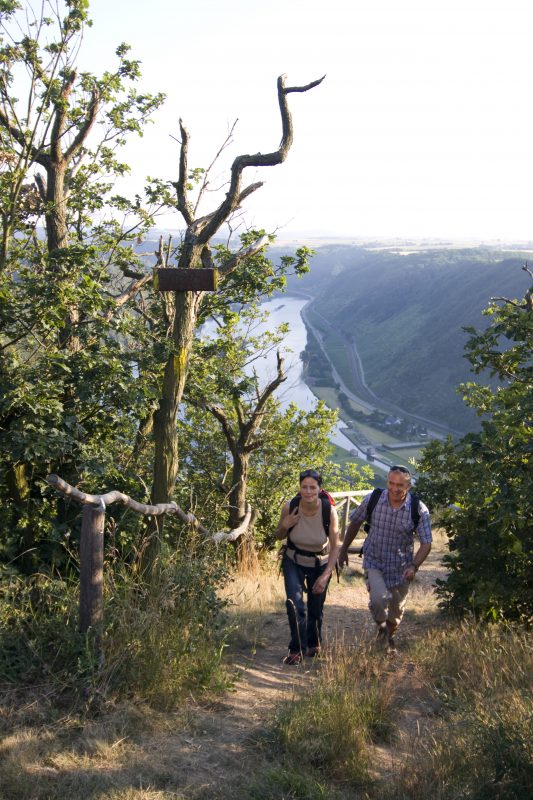
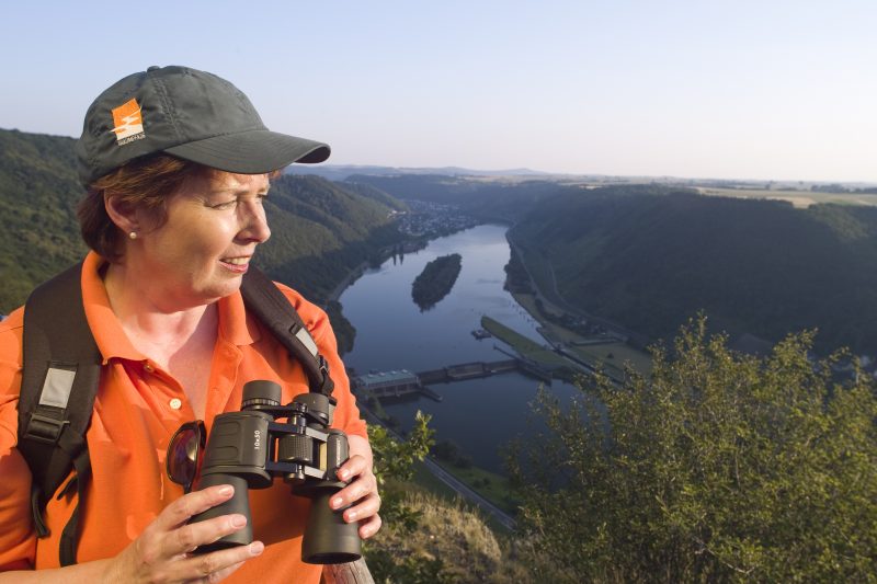
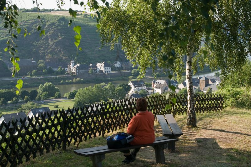
Having climbed on to the bank, the hiker reaches the sleepy Niederfell Forest. Leaving the forest behind there is a fantastic view over the Mosel plateau. Past the lovely Röder Chapel, the trail goes on to Hitzlay mountain. From this exposed viewpoint, the Mosel valley lies at the hiker’s feet, like an enchanted model landscape. Along big hedges and through orchards the trail continues slowly towards the Mosel valley. Great views and impressive cliffs accompany the path to the viewing platform of “Friar Felix’s Cabin”, giving a fabulous view of the Mosel, before reaching the destination along the Nachtigallenpfad (“nightingale’s path”).

Highlights at Traumpfad

  • Jungle path through the Schwalberbach valley
  • Röder Chapel
  • Hitzlay Hill with fantastic panorama view of the Mosel valley
  • Viewing platform „Friar Felix’s Cabin“

Information about Traumpfad "Schwalberstieg"

Length

13,2 km

Altitude

484 m

Duration

4 hours

Difficulty

moderate

How to get there
Start
Parking
3d-Flight
Public transport
  • B 49 along the Moselle to Niederfell
  • (A 61 Exit Koblenz/Dieblich further on B 411 to B 49)
  • 56332 Niederfell car park at Linkemühle (Bachstraße 22)
56332 Niederfell Linkemühle (Bachstraße 22)
56332 Niederfell car park at Linkemühle (Bachstraße 22)
Mit dem Klick aktivieren Sie das Video, es werden aber Daten, wie Ihre IP-Adresse, zu Youtube übertragen.
Video anzeigen
Destination Stop:
Niederfell, Unter den Linden
Lines:
  • Linie 31 Koblenz Hbf – Burgen (Mosel)

Links

Impressions from the Traumpfad "Schwalberstieg"

Notes

Traumpfad open

Explore more Traumpfade

Traumpfade 1

Pyrmonter Felsensteig

Length: 11,4 km

Difficulty: moderate

go to Traumpfad "Pyrmonter Felsensteig"
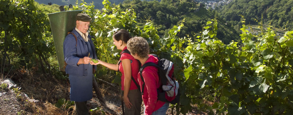
Wanderer im Weinberg mit einem Winzer

Koberner Burgpfad

Length: 17 km

Difficulty: hard

go to Traumpfad "Koberner Burgpfad"
Traumpfade 2

Hatzenporter Laysteig

Length: 11,9 km

Difficulty: hard

go to Traumpfad "Hatzenporter Laysteig"
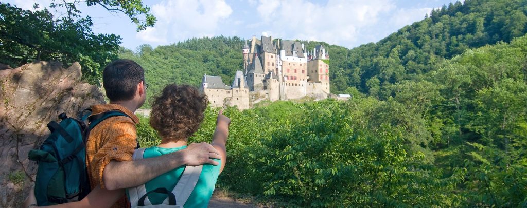
Wanderer schauen auf Burg Eltz

Eltzer Burgpanorama

Length: 12,6 km

Difficulty: moderate

go to Traumpfad "Eltzer Burgpanorama"
Traumpfade 3

Bleidenberger Ausblicke

Length: 12,8 km

Difficulty: hard

go to Traumpfad "Bleidenberger Ausblicke"
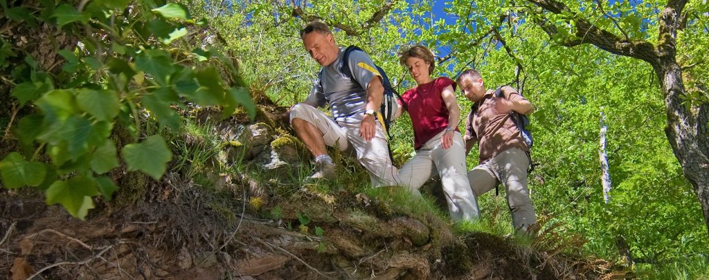
Wanderer beim Abstieg auf dem Bergschluchtenpfad

Bergschluchtenpfad Ehrenburg

Length: 18,6 km

Difficulty: hard

go to Traumpfad "Bergschluchtenpfad Ehrenburg"
Our partners