bleidenberger-ausblicke-neu

Bleidenberger Ausblicke

Hike along the Mosel-Traumpfad Bleidenberger Ausblicke (Bleidenberg Views)

The translated name says it all: a dream path! Splendid views of the Mosel valley, mighty cliffs with a deep canyon, on the tracks of an old vineyard path to the medieval Thurant Castle and to the Bleidenberg pilgrimage church.

Description

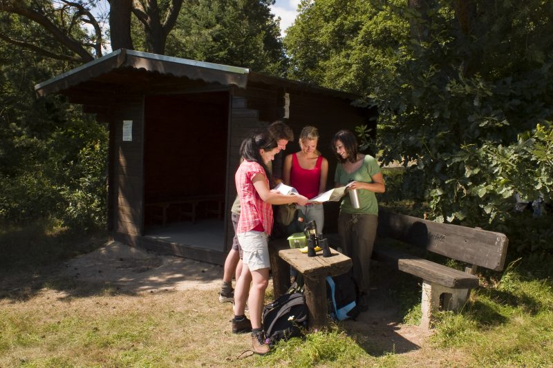
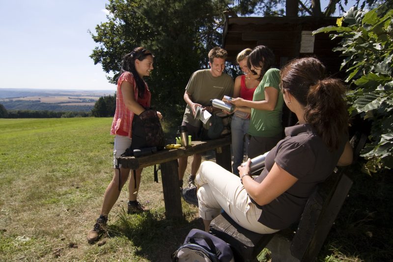
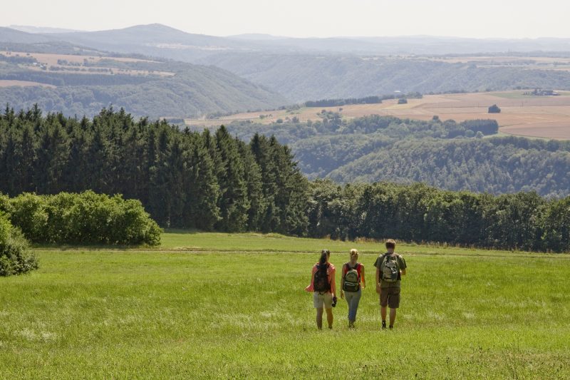
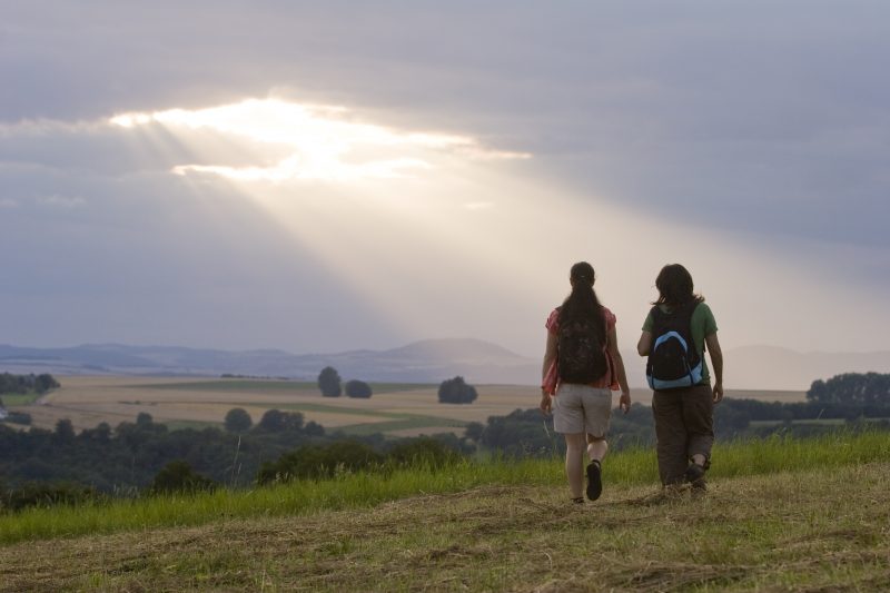
The tour begins at the church in Oberfell. After the ascent up a slope covered with grape vines, there are great views of the Mosel. On continuing the climb there are more wonderful panoramic views to the Vordereifel. Through green forests and flowering meadows the hiker reaches the refuge hut at Dickenberg that extends an invitation to rest and at the same time offers the best distant view. After several kilometres across soft meadow paths the trail crosses the K71 and reaches the unspoilt valley of the Alken brook. The history of the region becomes alive in deep canyons and old quarries.

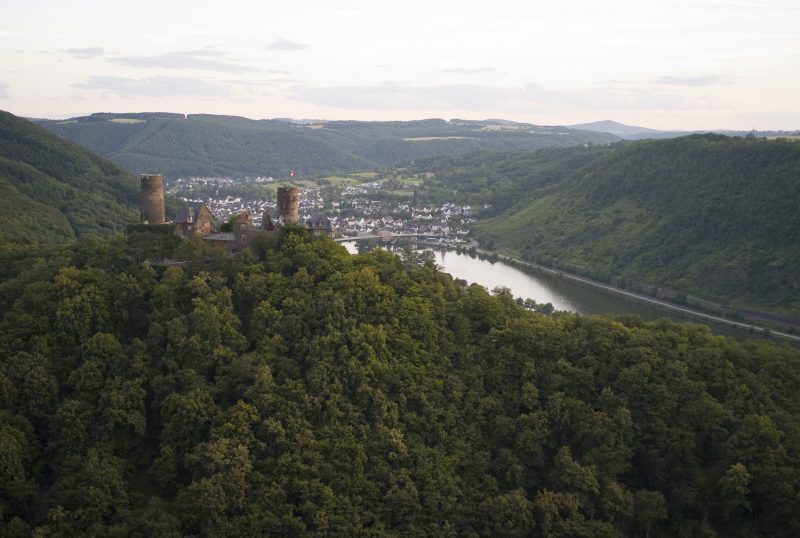
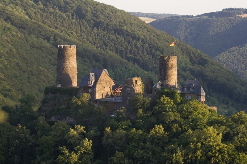
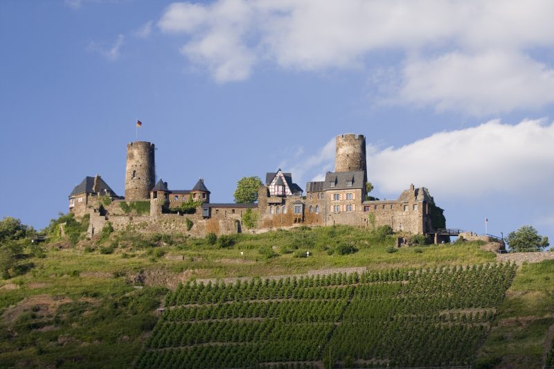
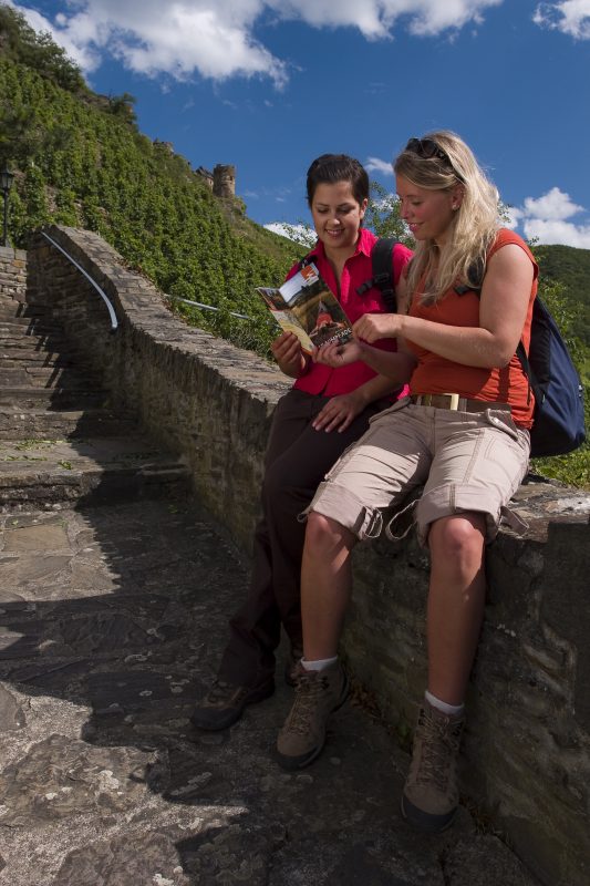
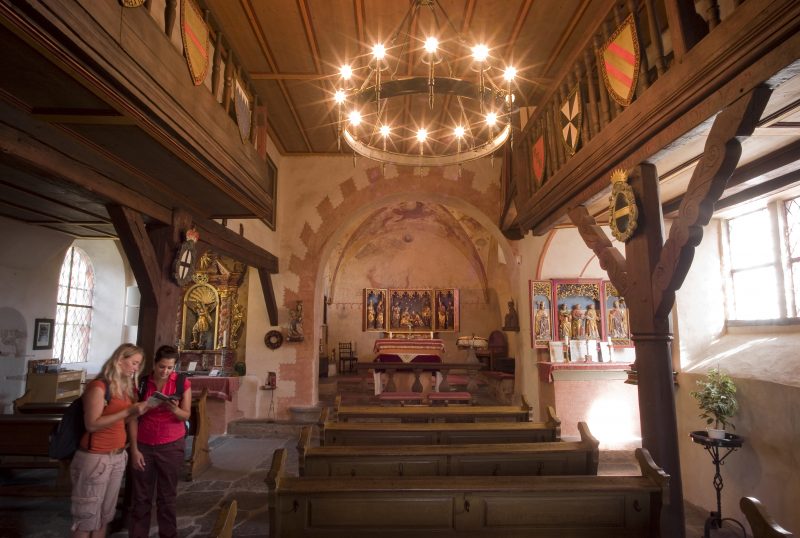
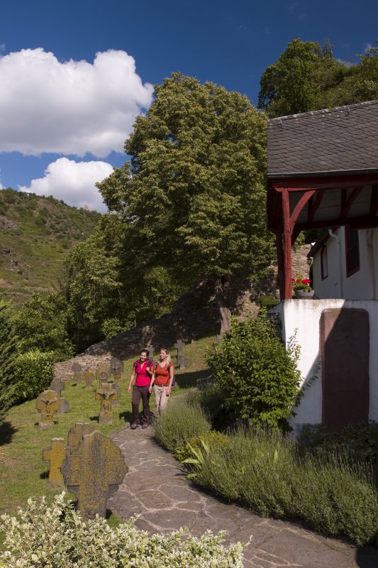
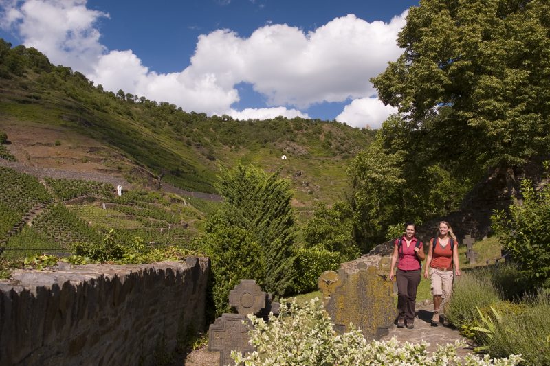
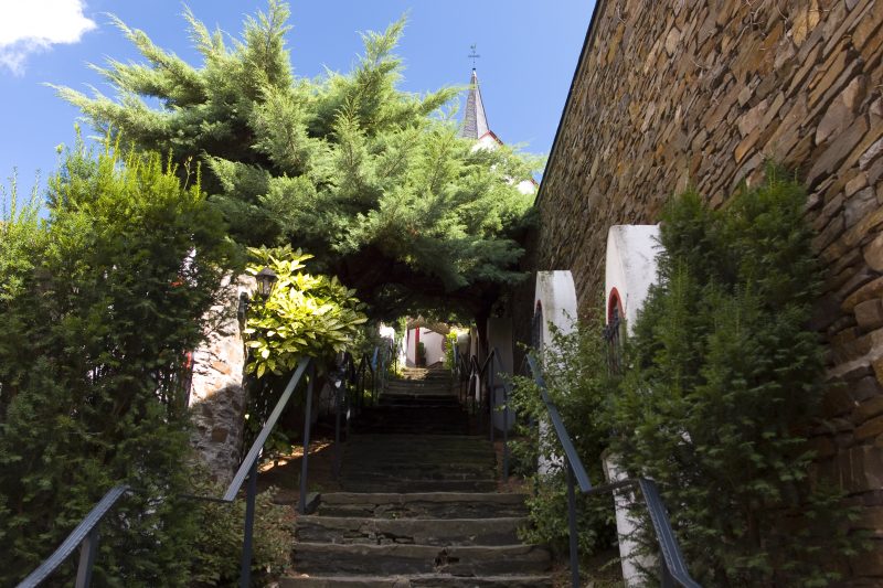
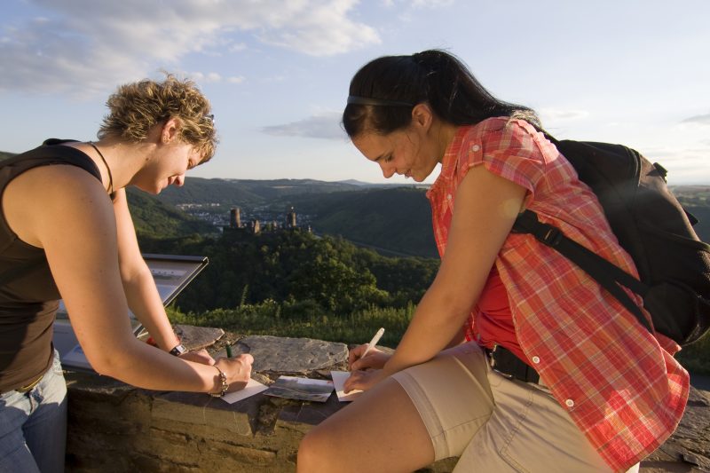
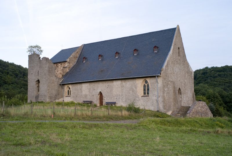
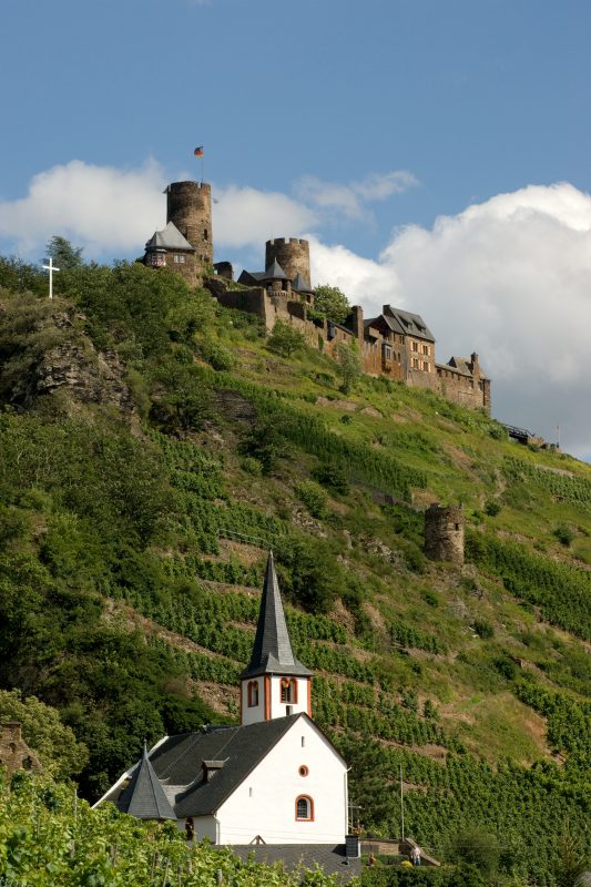
Along the murmuring Alken brook, past the imposing Helmut oak tree, and through marvellous mixed woodland, the hiker reaches an easy ascent that is rewarded by the impressive views. Having reached the top, Thurant Castle comes into view and invites the hiker to an excursion into the Middle Ages. A narrow path leads over a cliff further on to the historic Church of St. Michael and the charming wine town Alken. Stepping through the time-honoured City Gate the hiker reaches the “Sieben Fußfälle Klettersteig” (seven prostrations’ climb) that leads him through the Mosel slopes, covered in grape vines. There is a splendid view from the Bleidenberg. It is also rewarding to pay a visit to the Bleidenberg pilgrimage church nearby. The final descent along the panorama path reveals once more fantastic views of the Mosel valley and Thurant Castle, before the hike finishes in Oberfell.

Highlights at Traumpfad

  • Wine towns of Alken and Oberfell
  • Long distance view from Dickenberg
  • St. Michael’s Church
  • Medieval Thurant Castle
  • Bleidenberg pilgrimage church
  • Panorama path

Information about Traumpfad "Bleidenberger Ausblicke"

Length

12,8 km

Altitude

537 m

Duration

4 hours

Difficulty

hard

How to get there
Start
Further access
Parking
3d-Flight
Public transport
  • B 49 along the Moselle to Oberfell
  • (A 61 Exit Koblenz/Dieblich further on B 411 to B 49)
  • car park at the church
  • 56332 Oberfell, church (Im Kirchenstück)
56332 Oberfell Church (Im Kirchenstück)
56332 Alken car park „Siebenfußgefälle“
  • 56332 Oberfell, church (Im Kirchenstück)
  • 56332 Alken car park „Siebenfußgefälle“
Mit dem Klick aktivieren Sie das Video, es werden aber Daten, wie Ihre IP-Adresse, zu Youtube übertragen.
Video anzeigen
Destination Stop:
Oberfell, Hauptstraße
Lines:
  • Linie 31 Koblenz Hbf – Burgen (Mosel)

Links

Impressions from the Traumpfad "Bleidenberger Ausblicke"

Notes

Traumpfad open

Explore more Traumpfade

2 Wanderer genießen den Ausblick

Schwalberstieg

Length: 13,2 km

Difficulty: moderate

go to Traumpfad "Schwalberstieg"
Traumpfade 1

Pyrmonter Felsensteig

Length: 11,4 km

Difficulty: moderate

go to Traumpfad "Pyrmonter Felsensteig"
Wanderer im Weinberg mit einem Winzer

Koberner Burgpfad

Length: 17 km

Difficulty: hard

go to Traumpfad "Koberner Burgpfad"
Traumpfade 2

Hatzenporter Laysteig

Length: 11,9 km

Difficulty: hard

go to Traumpfad "Hatzenporter Laysteig"
Wanderer schauen auf Burg Eltz

Eltzer Burgpanorama

Length: 12,6 km

Difficulty: moderate

go to Traumpfad "Eltzer Burgpanorama"
Wanderer beim Abstieg auf dem Bergschluchtenpfad

Bergschluchtenpfad Ehrenburg

Length: 18,6 km

Difficulty: hard

go to Traumpfad "Bergschluchtenpfad Ehrenburg"
Our partners