hatzenporter-laysteig-neu-logo

Hatzenporter Laysteig

Hike along the Mosel-Traumpfad Hatzenporter Laysteig (Hatzenport Lay Trail)

Along unspoilt paths on the steep slopes of the Mosel directly through the vineyards. Via ferrata create thrills, the distinctive Rabenlay and Kreuzlay mounains allow wonderful views before the path plunges into the magical and serene "Schrumpftal" (Schrumpf valley).

Description

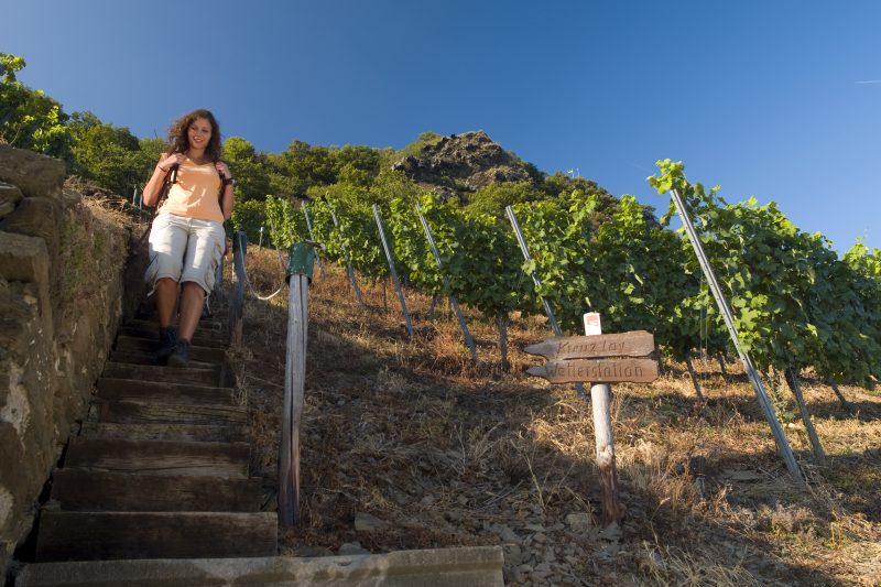
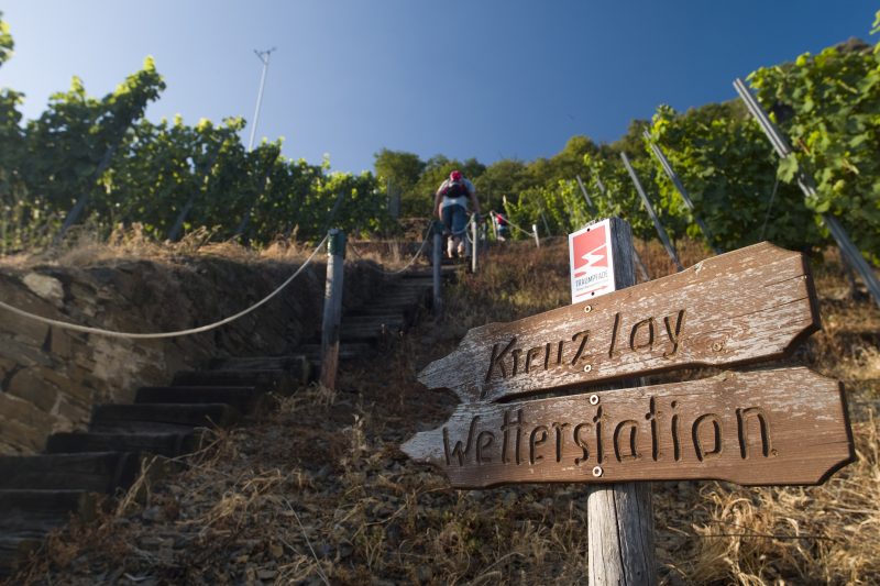
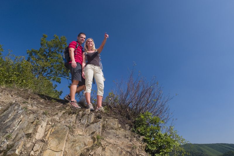
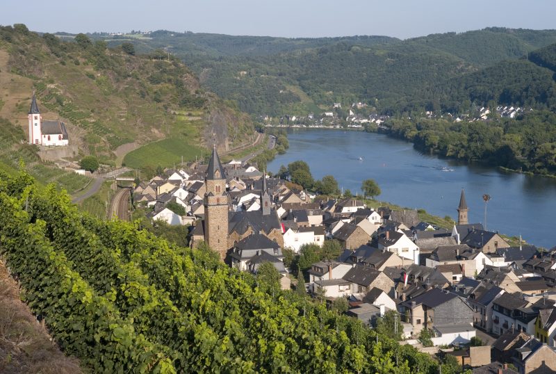
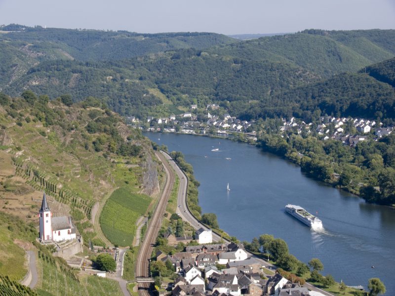
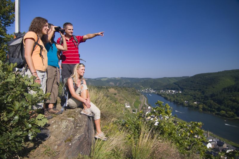
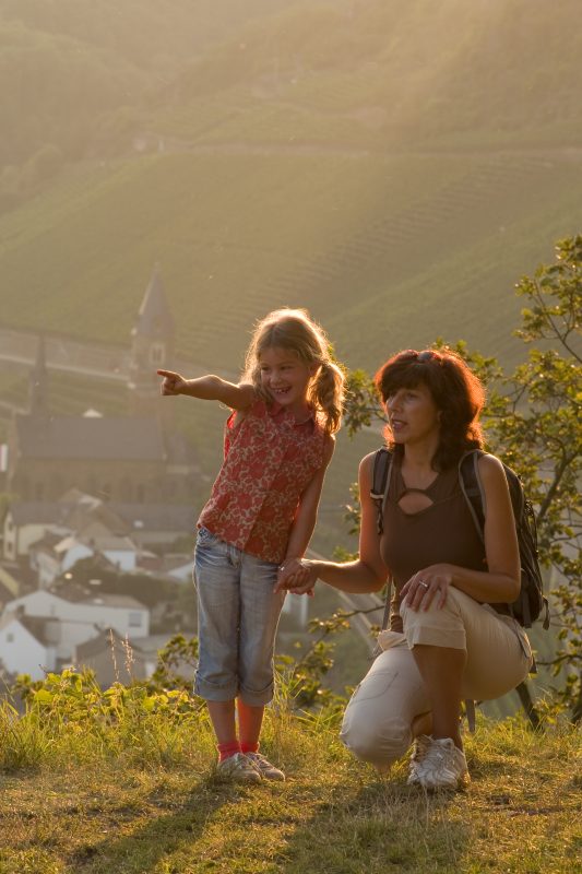
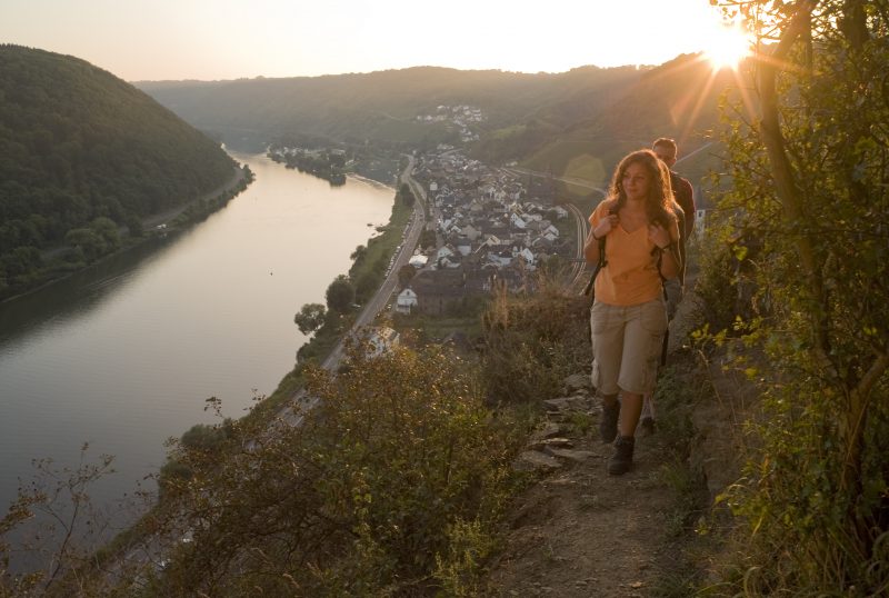
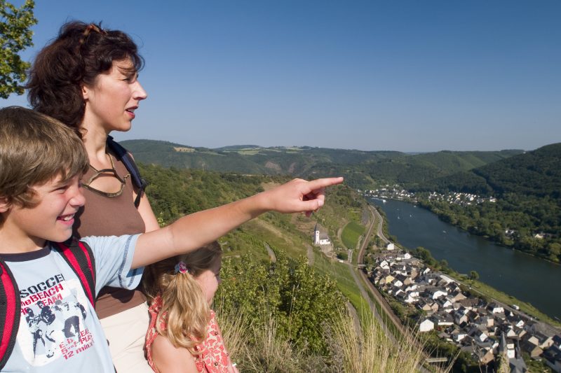
The circular trail starts at the station in Hatzenport. A narrow path leads the hiker continuously uphill and rewards him with the first grand view. At the following weather station there is a lot of information on the topic “climate” displayed on information boards. In close touch with the grapevines the way continues idyllically eastwards where there are fantastic views of the Mosel valley, Hatzenport and St. John’s Church. Along partially unspoilt paths, after a few kilometres the distinctive Rabenlay mountain with its breathtaking view is reached.

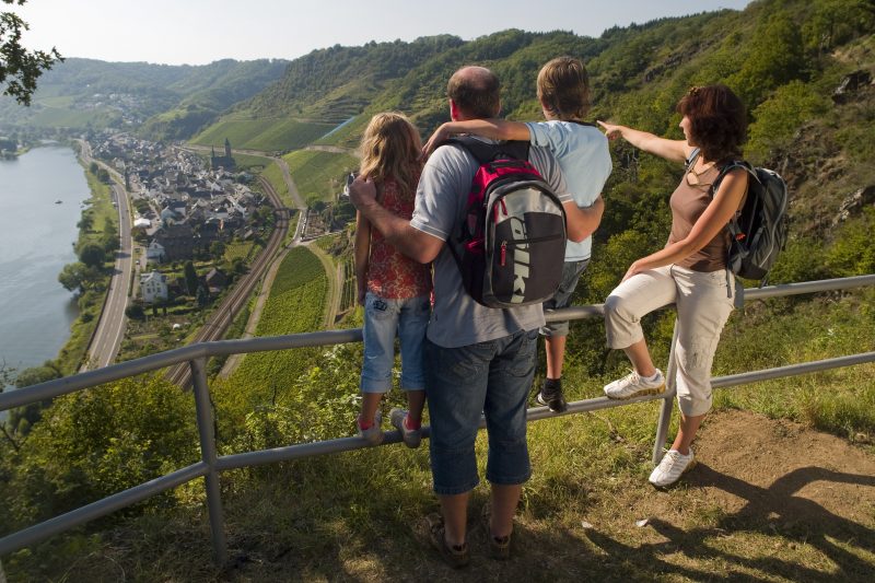
Here the landscape changes because the path turns away from the Mosel valley. The view stretches over vast fields, only at the Kreuzlay mounain does the glittering Mosel come into view again. Over the soft wavy ridges of the Schromberg Thalsberg mountain range, the hiker soon reaches a marvellous gnarled oak forest through which he immerses in the magical, serene Schrumpf valley. Initially following the quietly gurgling Schrumpfbach brook, the way continues uphill at the Probst Mill to the heights of the Maifeld and finally leads back via the L113 to the edge of the slope where the view over the Mosel opens up. Continuing through the middle of the grapevines there are wonderful views of the Mosel Panorama Trail. Sure-footed hikers can then, as a special finale, try out the spectacular Dolling climbing path, before reaching the destination in Hatzenport.

Highlights at Traumpfad

  • Picturesque Hatzenport
  • Weather station
  • Vineyard hills
  • Fantastic views of the Mosel valley from the Rabenlay and Kreuzlay hills
  • Idyllic Schrumpf valley
  • Mosel Panorama Trail
  • Climbing passages

Information about Traumpfad "Hatzenporter Laysteig"

Length

11,9 km

Altitude

539 m

Duration

4 hours

Difficulty

hard

How to get there
Start
Parking
3d-Flight
Public transport
  • B 416 along the Moselle to Hatzenport
  • 56332 Hatzenport, Bahnhof (Oberstraße/Schrumpftal)
56332 Hatzenport station (Oberstraße/Schrumpftal)
56332 Hatzenport Station or at the ferry tower
Mit dem Klick aktivieren Sie das Video, es werden aber Daten, wie Ihre IP-Adresse, zu Youtube übertragen.
Video anzeigen
Destination Stop:
Hatzenport station
Lines:
  • RB 81 „Moseltal-Bahn“ (every day) Koblenz – Trier
  • Linie 365 RegioBus: (Burg Eltz -) Münstermaifeld-Hatzenport (01.04. bis 01.11.)

Links


On the way with the castle bus

Impressions from the Traumpfad "Hatzenporter Laysteig"

Notes

Traumpfad open

Explore more Traumpfade

2 Wanderer genießen den Ausblick

Schwalberstieg

Length: 13,2 km

Difficulty: moderate

go to Traumpfad "Schwalberstieg"
Traumpfade 1

Pyrmonter Felsensteig

Length: 11,4 km

Difficulty: moderate

go to Traumpfad "Pyrmonter Felsensteig"
Wanderer im Weinberg mit einem Winzer

Koberner Burgpfad

Length: 17 km

Difficulty: hard

go to Traumpfad "Koberner Burgpfad"
Wanderer schauen auf Burg Eltz

Eltzer Burgpanorama

Length: 12,6 km

Difficulty: moderate

go to Traumpfad "Eltzer Burgpanorama"
Traumpfade 2

Bleidenberger Ausblicke

Length: 12,8 km

Difficulty: hard

go to Traumpfad "Bleidenberger Ausblicke"
Wanderer beim Abstieg auf dem Bergschluchtenpfad

Bergschluchtenpfad Ehrenburg

Length: 18,6 km

Difficulty: hard

go to Traumpfad "Bergschluchtenpfad Ehrenburg"
Our partners