bergheidenweg-neu

Bergheidenweg

Hike along the Eifel-Traumpfad Bergheidenweg (Mountain Heath Trail)

The Bergheidenweg is a hiking trail along magnificent paths through mixed forest, along the Nette and with wonderful views of the Eifel. Due to the good connection with the Wacholderweg, it is also possible to really enjoy the juniper heaths.

current route information

Description

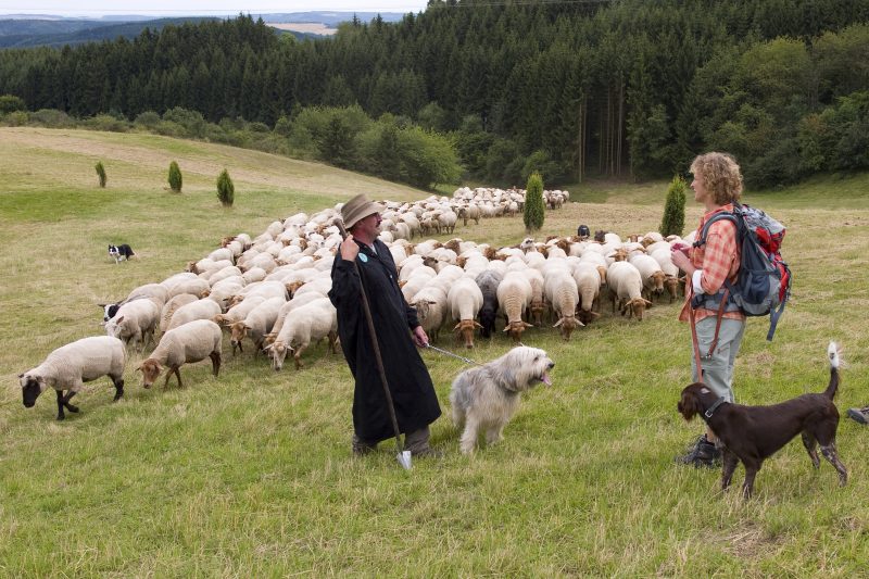
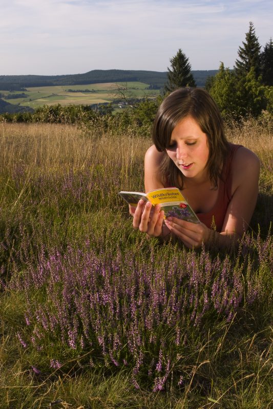
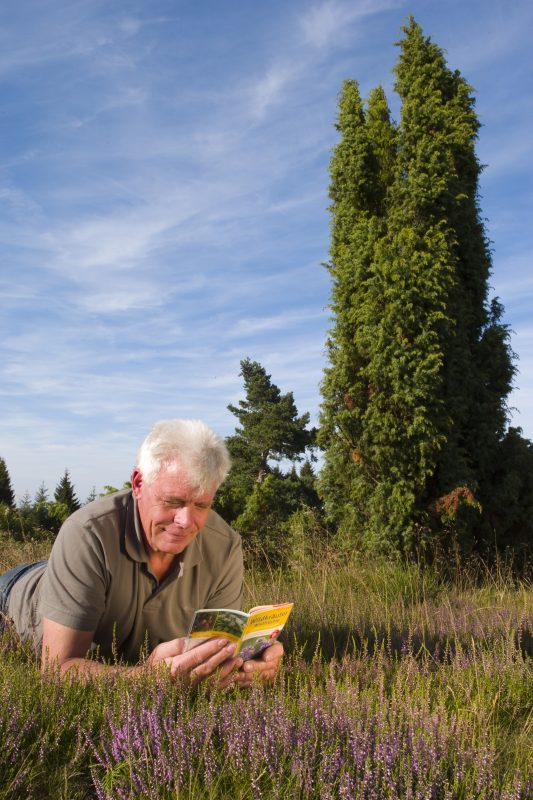
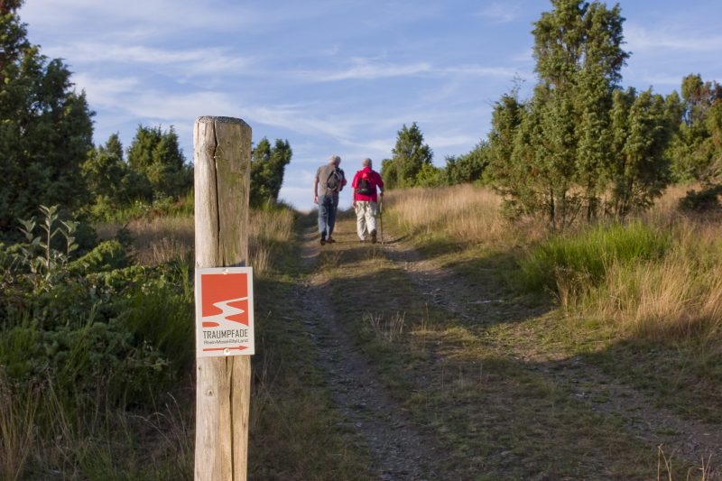
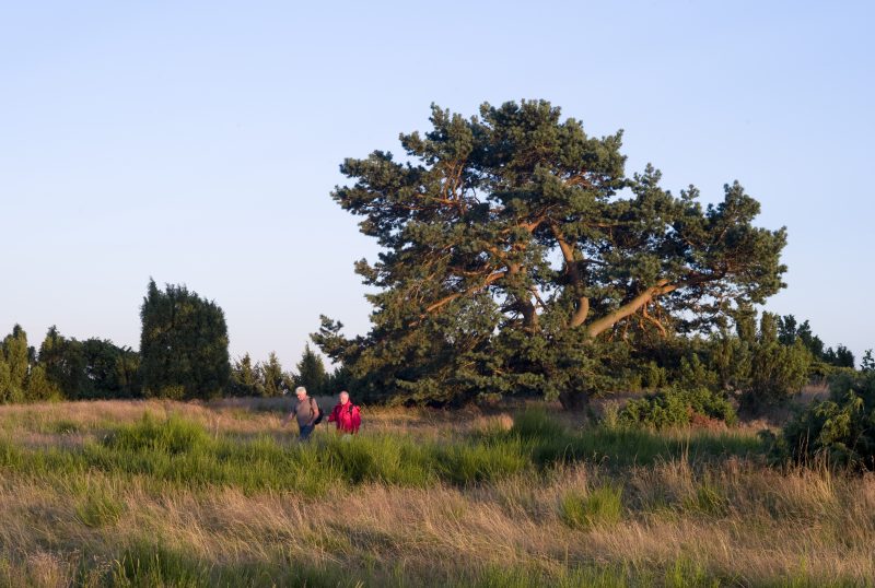
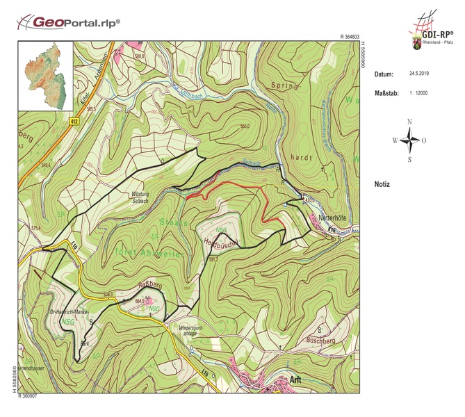
This approx. 10 km long cîrcular path has southern flair between juniper heathland and pine woods. Magnificent paths through mixed forest, along the Nette and the Selbach, wonderful views of the Eifel. Whoever would like to really enjoy the juniper heathland can take the connecting path to the Wacholderweg.

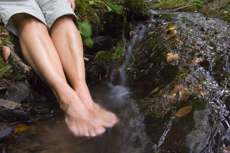
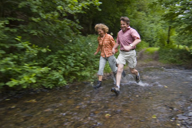
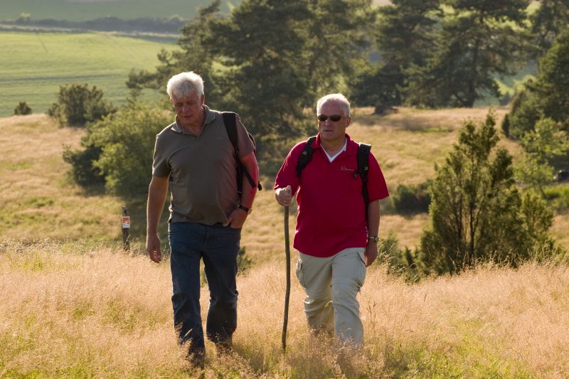
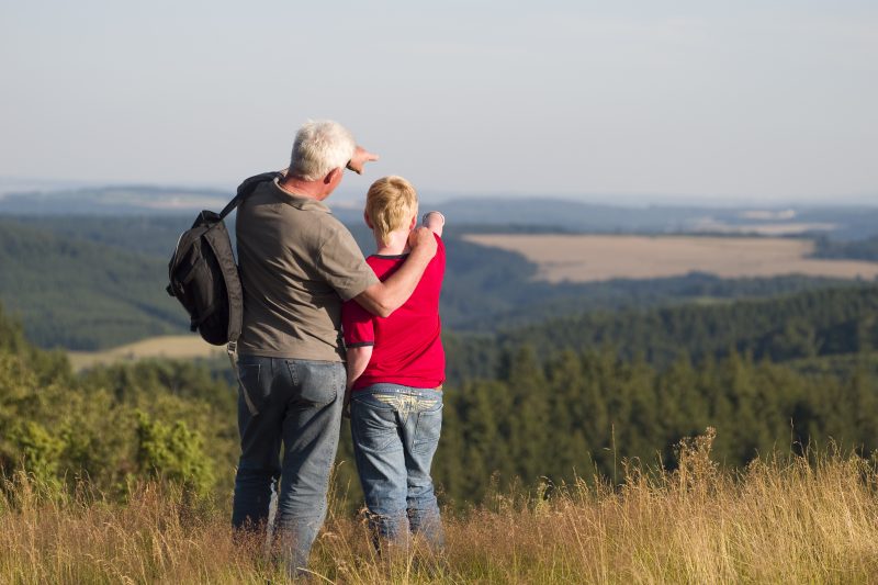
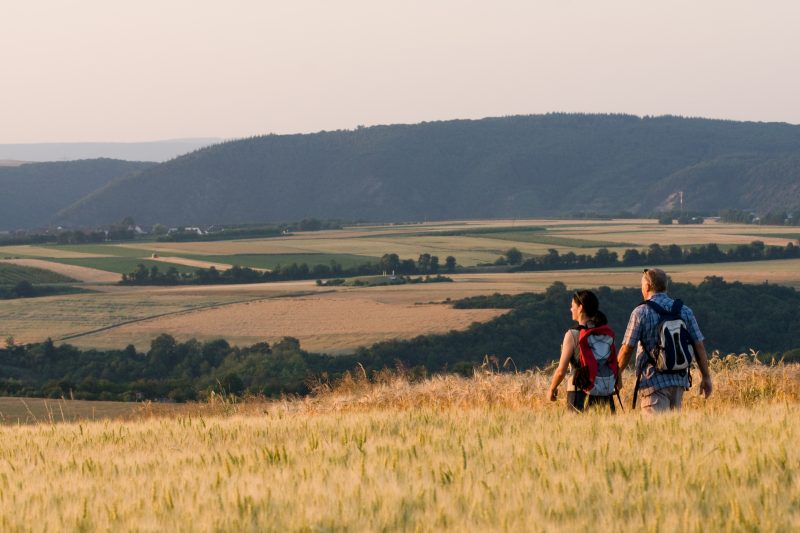
The tour starts at the car park of the winter sports centre, not far from Arft, and goes through open heathland into the nature reserve Heidbüchel. Original pine trees line the footpath through the typical sandy and heath vegetation. Having reached the peak of Heidbüchel, a unique view rewards the climb. On the descent through the forest, the footpath forks and one path joins the neighbouring Traumpfad “Wacholderweg“. At the edge of the forest, the path turns left towards Nette valley. After the little village of Netterhöfe, the trail crosses the Nette and then follows the stream into the valley. Over a wooden bridge the path again crosses the river. In the Selbach valley that follows, high forest surrounds the hiker, impressive cliff walls give the valley a canyon-like character. Upwards along the rippling brook through the forest and later along footpaths up to a refuge hut from where there is a breathtaking panoramic view. The trail continues slightly downhill over open fields. After crossing the L10, the path continues to the Dr. Heinrich Menke Park. After crossing the L10 again, past the Konrad Adenauer Monument, the path goes round the Raßberg mountain. Soon the starting point of the Traumpfad is reached again.

Highlights at Traumpfad

  • Mountain and juniper heaths
  • Nette valley
  • Canyon valley of the Selbach valley
  • Raßberg mountain
  • Nature Reserve Heidbüchel
  • Dr. Heinrich Menke Park

Information about Traumpfad "Bergheidenweg"

Length

10,3 km

Altitude

289 m

Duration

3 hours

Difficulty

moderate

How to get there
Start
Parking
3d-Flight
Public transport
  • A 61 Exit Wehr/Nürburgring
  • B 412 towards Weibern
  • L 10 towards Arft (1 km before Arft – car park Raßberg/winter sports area)
  • 56729 Arft, car park at Raßberg
56729 Arft car park at Raßberg
Mit dem Klick aktivieren Sie das Video, es werden aber Daten, wie Ihre IP-Adresse, zu Youtube übertragen.
Video anzeigen
Destination Stop:
Arft, Dorfstraße
Lines:
  • Linie 388 FreizeitBus: Mayen - Langenfeld - Arft - Herresbach - Kürrenberg - Mayen (01.04. bis 01.11.)

Destination Stop:
Netterhöfe junction.
Lines:
  • Linie 820 Kempenich - Rieden - Mayen

Links

Impressions from the Traumpfad "Bergheidenweg"

Notes

current route information
Umgestürzter Baum

Auf dem Bergheidenweg ist ein Baum umgestürzt. An der Beseitigung des Baumes wird gearbeitet. (Stand: 11.07.2023)

(Stand: 06.06.2023)
Trittsteine über den Bach Nette nicht passierbar

Bei anhaltender nassen Witterung sind die Trittsteine über den Bach Nette nicht passierbar. Bitte folgen Sie den ausgeschilderten Umleitung (rote Linie auf der Karte).


Explore more Traumpfade

wanderather traumpfad

Wanderather

Length: 12 km

Difficulty: leicht

go to Traumpfad "Wanderather"
Traumpfade 1

Waldseepfad Rieden

Length: 14,2 km

Difficulty: moderate

go to Traumpfad "Waldseepfad Rieden"
Mutter und Tochter befühlen Wacholderheiden

Wacholderweg

Length: 8,8 km

Difficulty: moderate

go to Traumpfad "Wacholderweg"
Vulkanpfad Wanderweg

Vulkanpfad

Length: 6,6 km

Difficulty: moderate

go to Traumpfad "Vulkanpfad"
Traumpfade 2

Virne-Burgweg

Length: 9,9 km

Difficulty: moderate

go to Traumpfad "Virne-Burgweg"
Traumpfade 3

Vier-Berge-Tour

Length: 12,9 km

Difficulty: hard

go to Traumpfad "Vier-Berge-Tour"
Rast auf einer Bank

Pellenzer Seepfad

Length: 16 km

Difficulty: hard

go to Traumpfad "Pellenzer Seepfad"
nette schieferpfad

Nette-Schieferpfad

Length: 9,2 km

Difficulty: moderate

go to Traumpfad "Nette-Schieferpfad"
Traumpfade 4

Monrealer Ritterschlag

Length: 13,7 km

Difficulty: hard

go to Traumpfad "Monrealer Ritterschlag"
Zwei Wanderer rasten auf einem Felsen

Hochbermeler

Length: 10 km

Difficulty: leicht

go to Traumpfad "Hochbermeler"
heidehimmel-volkesfeld

Heidehimmel Volkesfeld

Length: 9,3 km

Difficulty: moderate

go to Traumpfad "Heidehimmel Volkesfeld"
Traumpfade 5

Förstersteig

Length: 14,7 km

Difficulty: hard

go to Traumpfad "Förstersteig"
Wanderer kühlen ihre Füße ab

Booser Doppelmaartour

Length: 9,1 km

Difficulty: easy

go to Traumpfad "Booser Doppelmaartour"
Our partners