heidehimmel-volkesfeld

Heidehimmel Volkesfeld

Hike along the Eifel-Traumpfad Heidehimmel Volkesfeld (Heavenly Heath Trail)

Medicinal mineral water and juniper heaths, lush meadows in bloom, fragrant heaths, tranquil forests and overwhelming panoramic views enchant the hiker. Rustic refuge huts invite the hiker to a break, a drink at the mineral spring “Sauerbrunnen” gives him refreshment.

Description

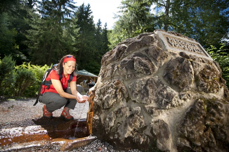
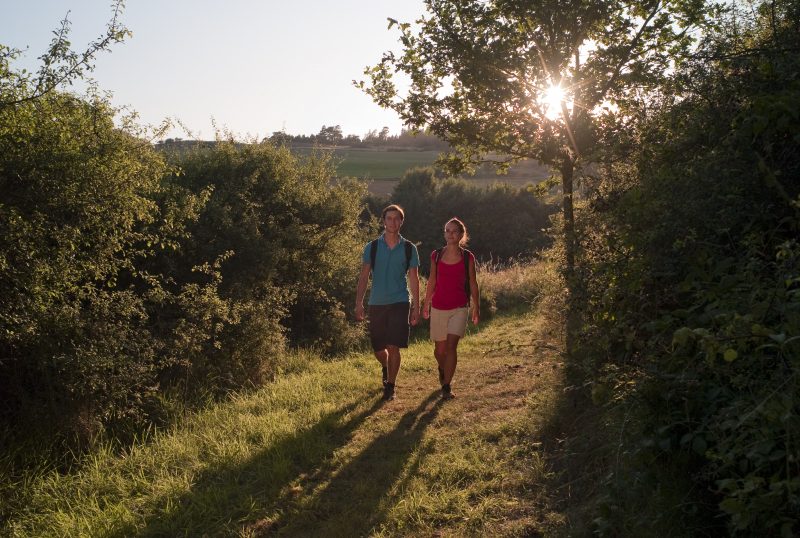
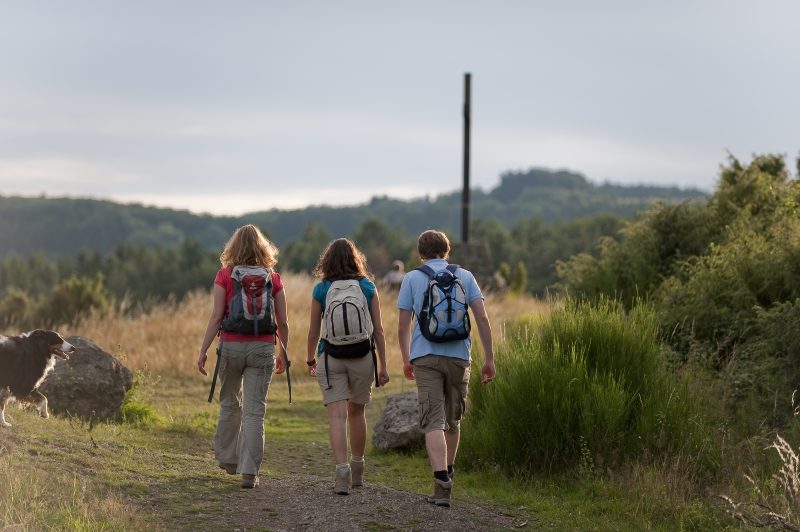
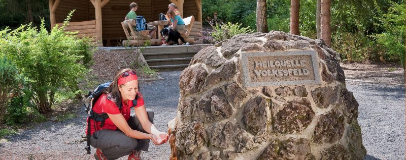
The trail starts at the car park at the spring of the medicinal mineral waters “Sauerbrunnen” on the L 83 in the Nette valley. An access road leads to the starting point at the spring. Rustic wooden steps and a soft forest footpath give the first view into the Nette valley and lead on to Volkesfeld.

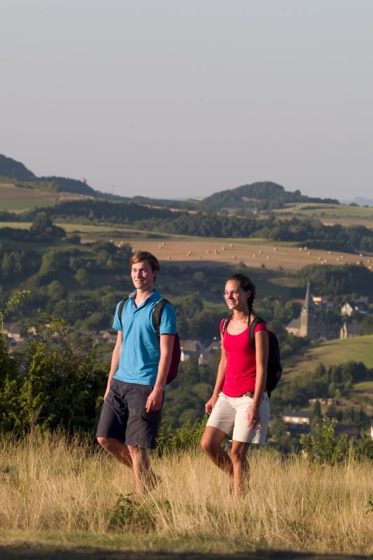
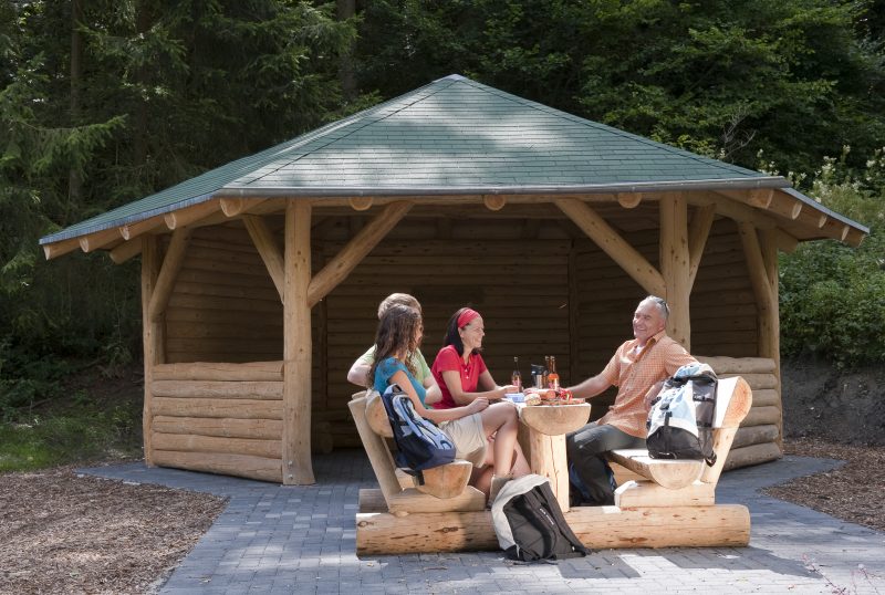
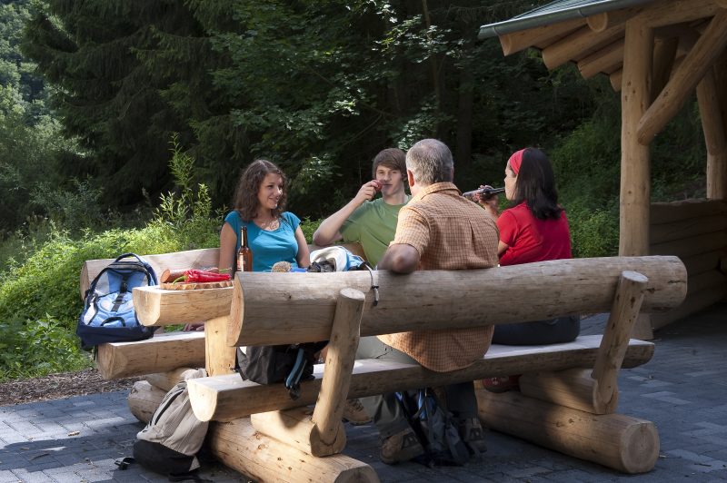
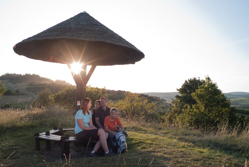
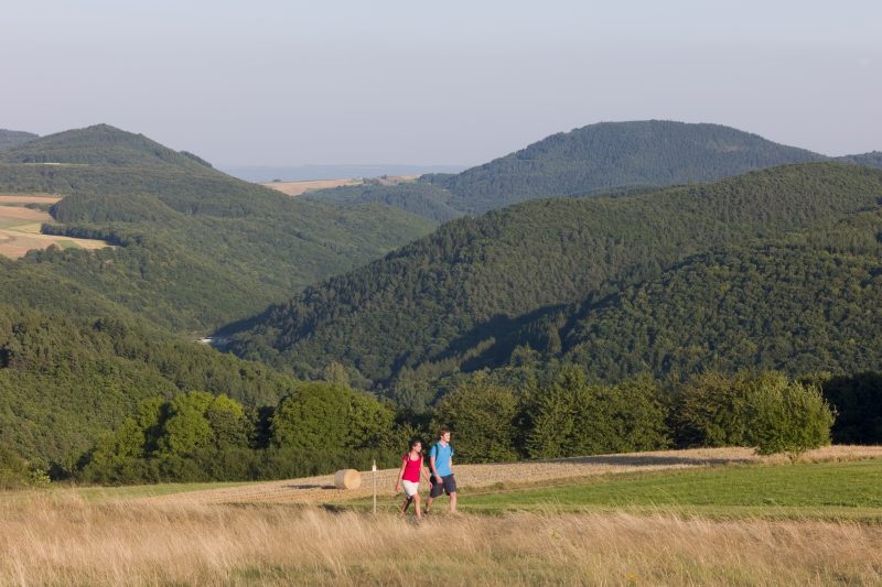
There the ascent starts to the impressive Riethel cross that can be seen in the distance. The cross is bedded in fragrant juniper heath and there is a fabulous panorama view. The path gently follows the ridge and goes past the nearby development area in a wide bend along meadow paths that lead to Volkesfeld. After passing briefly through a wood and open meadows another wonderful panorama is revealed where the the K 63 is crossed. Leaving the village behind, the path continues along a soft track to a resting place.

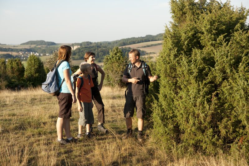
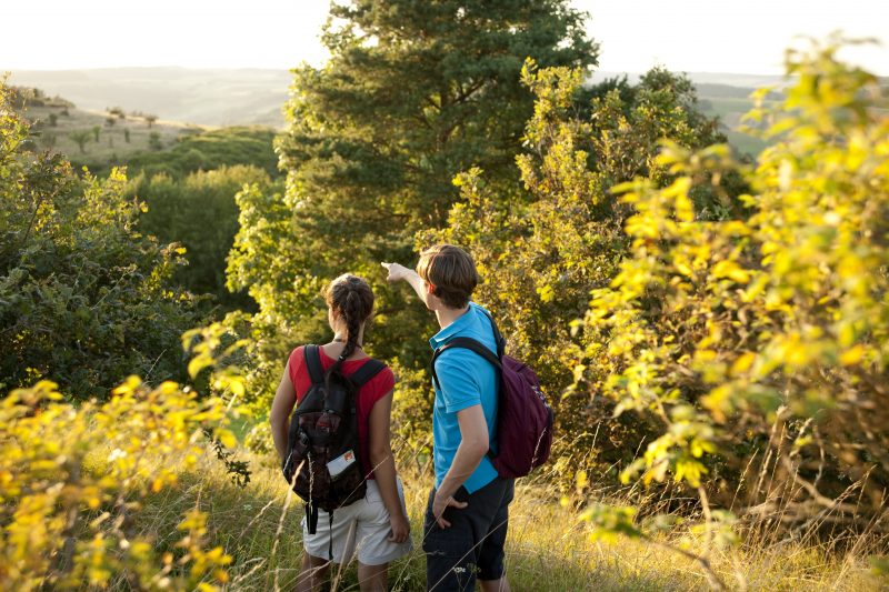
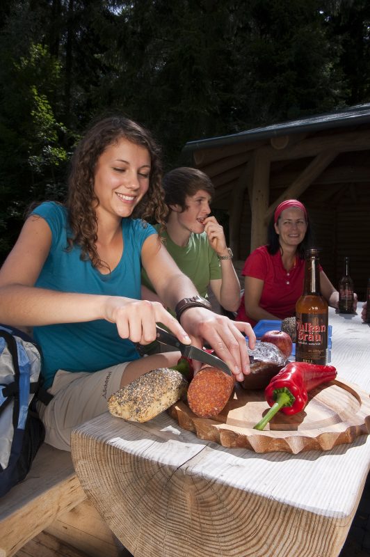
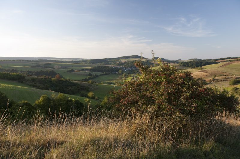
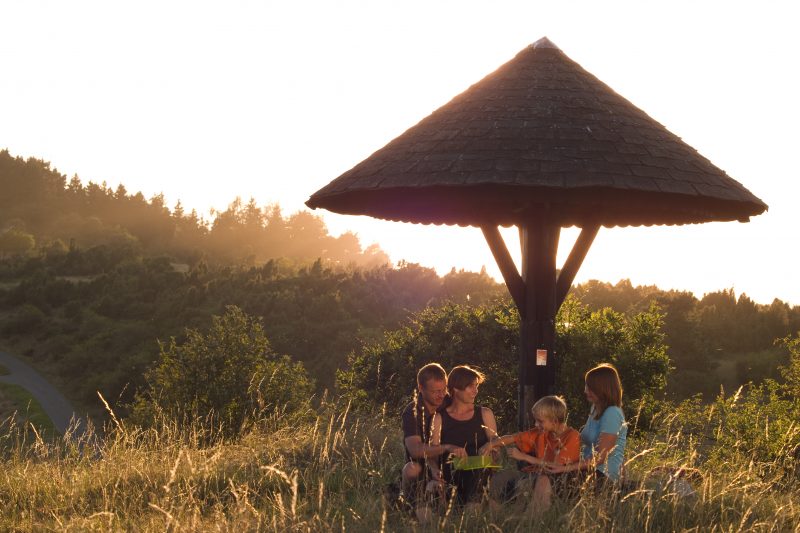
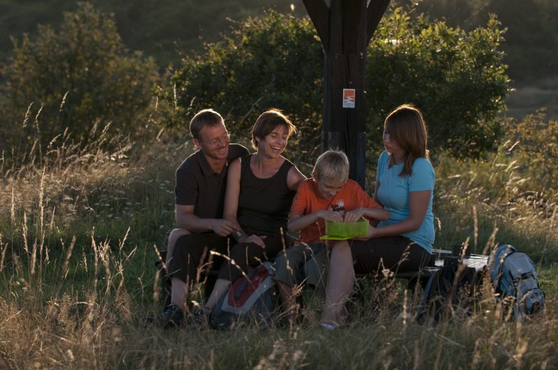
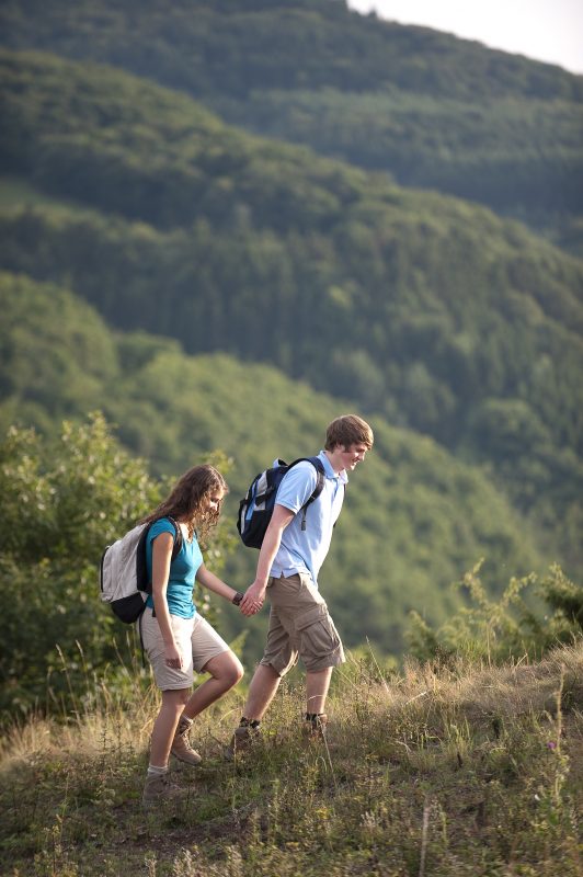
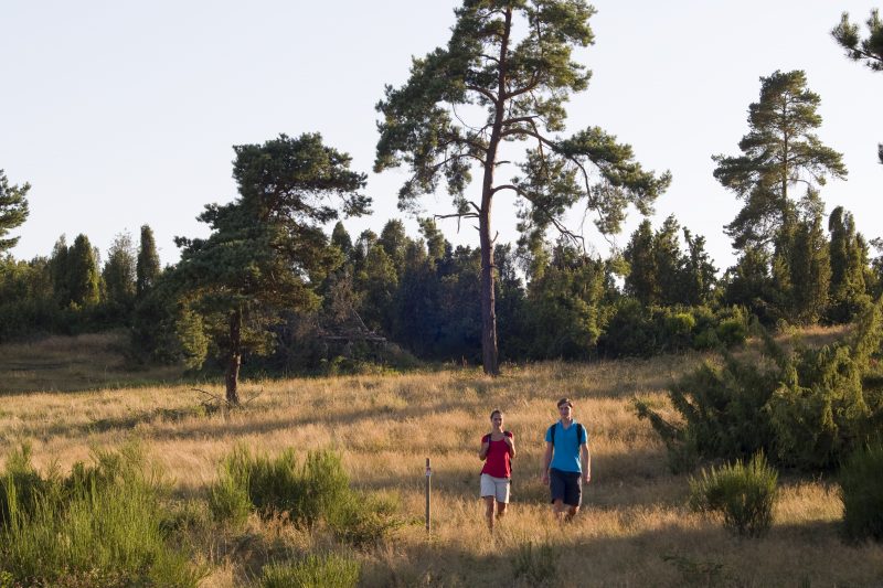
Soon a narrow path climbs to the heights of Wabern Heath and presents unspoilt juniper bushes, brilliant gorse bushes and gnarled pine trees. The Wabern Juniper Hut has the best views in almost all directions and makes an inviting stay. Continuing through the heath the trail goes through a forest to the rock promontory “Falkley View” with its unique view of the Nette valley far below. With luck it could be possible to see wild cameroon sheep along the following stretches through forest and meadows.

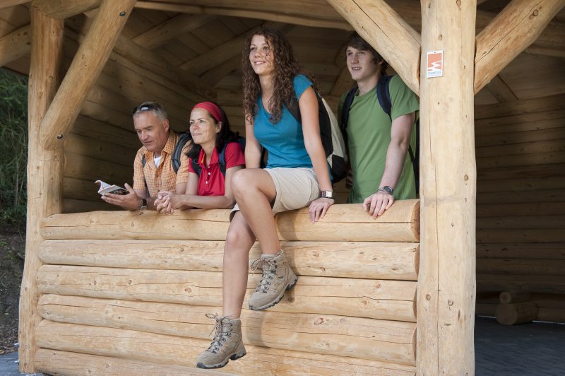
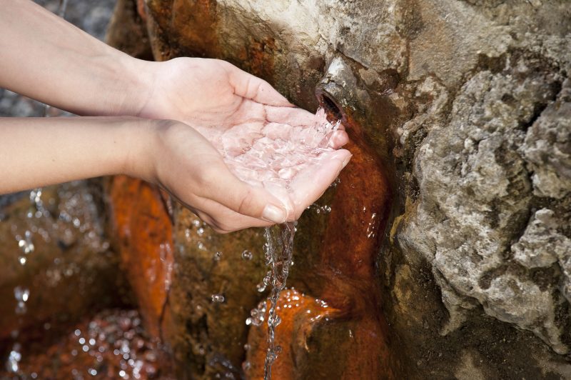
A short detour (altogether 500 m) leads to the Noorkopf summit with a 270° view. Back on the trail, it descends at the edge of the field to the Florian’s Hut with its lovely view of the Nette valley. In the forest the path twists in wide bends down to the valley. At the end of the tour the medicinal “Sauerbrunnen” spring with mineral water containing iron makes an inviting, healthy refreshment before the trail ends at the hiker car park.

Highlights at Traumpfad

  • Volkesfeld juniper heaths with the Riethel cross
  • Unspoilt Wabern Heath with its refuge hut
  • Falkley View
  • Florian’s Hut with its beautiful view of the Nette valley
  • Medicinal mineral water spring “Sauerbrunnen”
  • Panorama views

Information about Traumpfad "Heidehimmel Volkesfeld"

Length

9,3 km

Altitude

310 m

Duration

3 hours

Difficulty

moderate

How to get there
Start
Further access
3d-Flight
Public transport
  • A61 Exit Wehr, towards Adenau/Kempenich
  • B412 turn right towards Wehr/Rieden
  • on L114 to the left
  • next junction left on to K 64 through Rieden (after 500m K19)
  • past Waldsee to junction L 83, turn right
  • after approx. 300 meter left to car park Heilquelle and starting point Traumpfad
56745 Volkesfeld Heilquelle Volkesfeld
  • 56745 Volkesfeld hiker car park „Nettetal“ Heilquelle Volkesfeld (L 83)
  • 56745 Volkesfeld car park village hall (Nettestraße)
  • 56745 Wabern hiker car park Waberner bridge (L 83)
Mit dem Klick aktivieren Sie das Video, es werden aber Daten, wie Ihre IP-Adresse, zu Youtube übertragen.
Video anzeigen
Destination Stop:
Volkesfeld, Sauerbrunnenweg
Lines:
  • Linie 820 Richtung Kempenich - Rieden - Mayen

Links

Impressions from the Traumpfad "Heidehimmel Volkesfeld"

Notes

Traumpfad open

Explore more Traumpfade

wanderather traumpfad

Wanderather

Length: 12 km

Difficulty: leicht

go to Traumpfad "Wanderather"
Traumpfade 1

Waldseepfad Rieden

Length: 14,2 km

Difficulty: moderate

go to Traumpfad "Waldseepfad Rieden"
Mutter und Tochter befühlen Wacholderheiden

Wacholderweg

Length: 8,8 km

Difficulty: moderate

go to Traumpfad "Wacholderweg"
Vulkanpfad Wanderweg

Vulkanpfad

Length: 6,6 km

Difficulty: moderate

go to Traumpfad "Vulkanpfad"
Traumpfade 2

Virne-Burgweg

Length: 9,9 km

Difficulty: moderate

go to Traumpfad "Virne-Burgweg"
Traumpfade 3

Vier-Berge-Tour

Length: 12,9 km

Difficulty: hard

go to Traumpfad "Vier-Berge-Tour"
Rast auf einer Bank

Pellenzer Seepfad

Length: 16 km

Difficulty: hard

go to Traumpfad "Pellenzer Seepfad"
nette schieferpfad

Nette-Schieferpfad

Length: 9,2 km

Difficulty: moderate

go to Traumpfad "Nette-Schieferpfad"
Traumpfade 4

Monrealer Ritterschlag

Length: 13,7 km

Difficulty: hard

go to Traumpfad "Monrealer Ritterschlag"
Zwei Wanderer rasten auf einem Felsen

Hochbermeler

Length: 10 km

Difficulty: leicht

go to Traumpfad "Hochbermeler"
Traumpfade 5

Förstersteig

Length: 14,7 km

Difficulty: hard

go to Traumpfad "Förstersteig"
Wanderer kühlen ihre Füße ab

Booser Doppelmaartour

Length: 9,1 km

Difficulty: easy

go to Traumpfad "Booser Doppelmaartour"
Traumpfade 6

Bergheidenweg

Length: 10,3 km

Difficulty: moderate

go to Traumpfad "Bergheidenweg"
Our partners