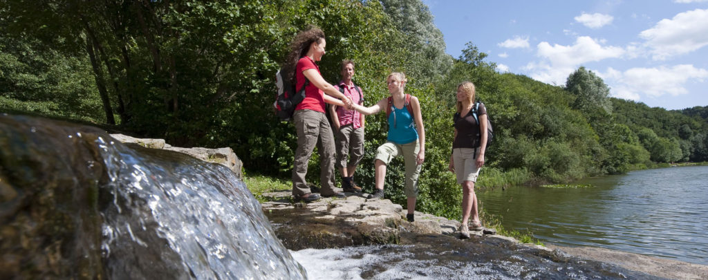
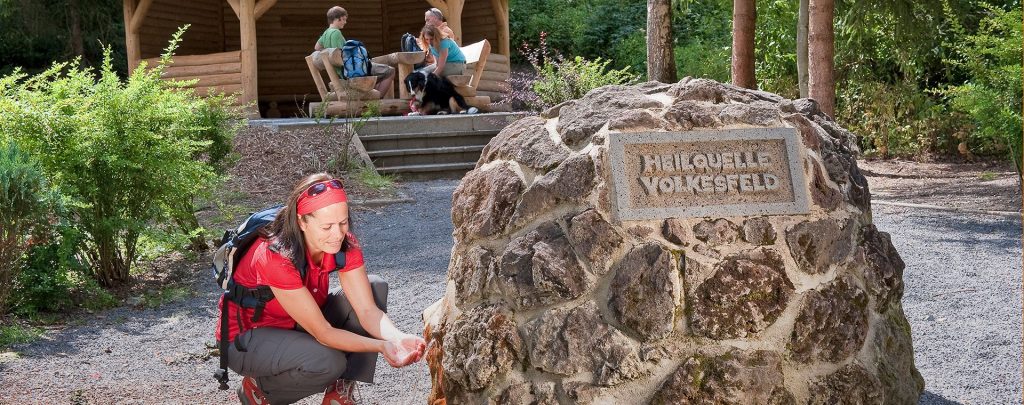
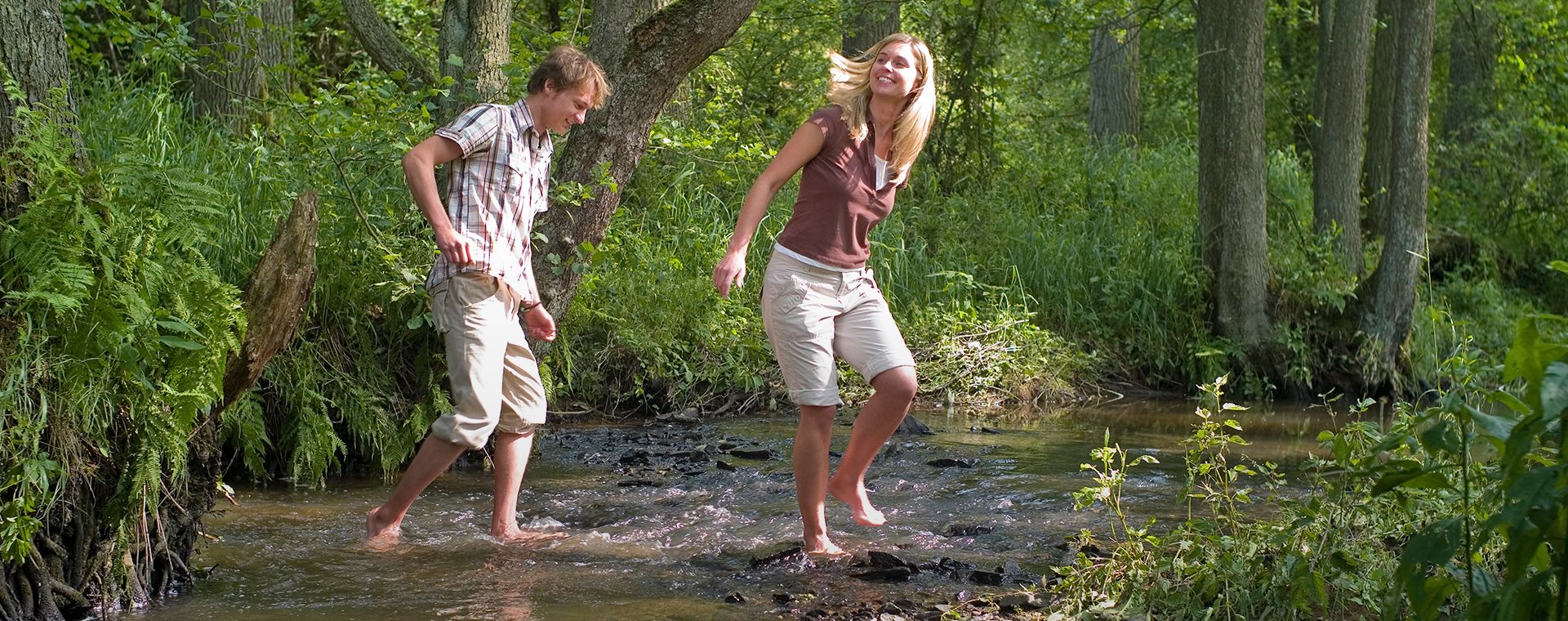
Wanderer kühlen ihre Füße ab

Booser Doppelmaartour

Hike along the Eifel-Traumpfad Booser Doppelmaartour (Booser Doppelmaar Trail)

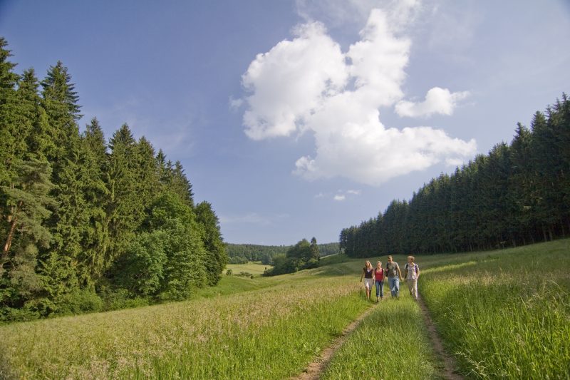
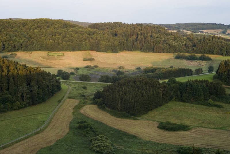
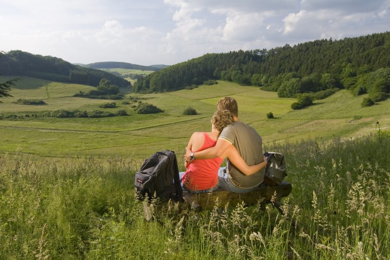
Hiking holiday as a journey back in time to a “hot past“. That is how the hiking tour through the volcanic scenery of the Eifel can also be understood. Fabulous views over vast maars, volcano summits in the attractive Eifel landscape, and a unique world of flora and fauna in the nature reserve “Booser Doppelmaar”.

Description

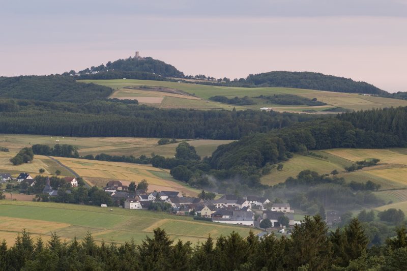
The crater tour begins at the hiker car park at the volcano’s car park station "Booser Doppelmaar". From here, a narrow footpath leads to the edge of the western dry maar. The trail continues towards Unterschemel with a view of the imposing silhouette of the ruins of the Nürburg castle. Both maars can be recognised as impressive, spacious, flat basins.

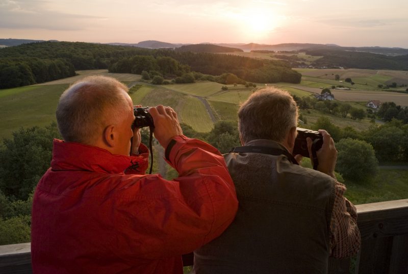
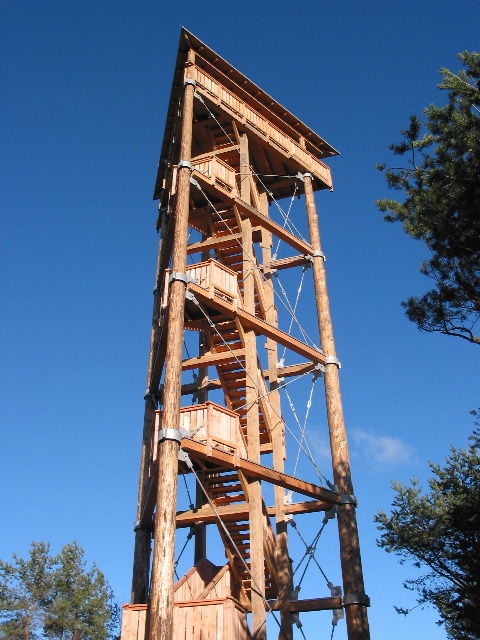
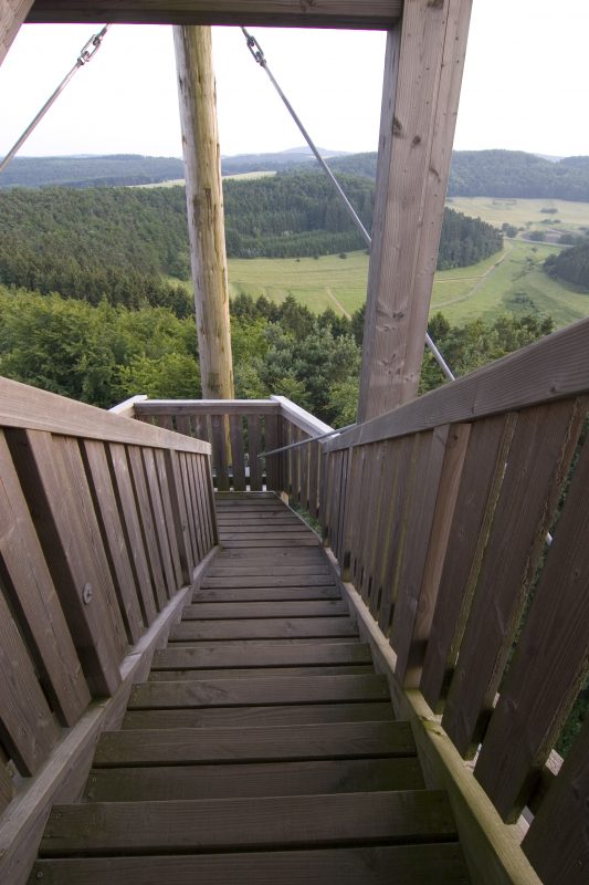
The path now climbs steeply upwards to the edge of the crater where a refuge hut with a great view of Boos invites a rest. A detour leads to an absolute highlight: the Boos Eiffel Tower, projecting 25 m into the sky on the highest rise of the Schneeberg mountain. Whoever decides to climb the 125 steps to the top is rewarded with a fantastic panoramic view over the attractive Eifel landscape with its extinct volcanic domes. Further on, the trail submerges into the forest. It goes past ancient hill graves up to the Hölgertberg mountain. The descent follows along a narrow pass lined with trees down into the Nitzbach valley.

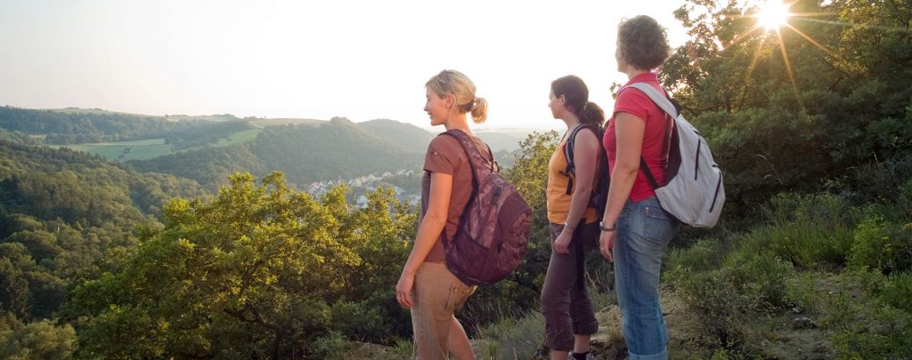
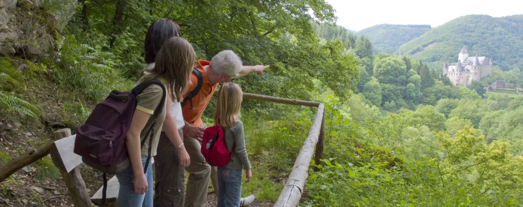
On the way there are great views of the villages Nitz, Drees and Wanderath. In front of a fabulous mountain forest backdrop, the Traumpfad leads along the natural meanders of the Nitzbach valley back to the starting point.

Highlights at Traumpfad

  • Booser Eiffel Tower with breathtaking panoramic view over the Eifel to Westerwald and Hunsrück.
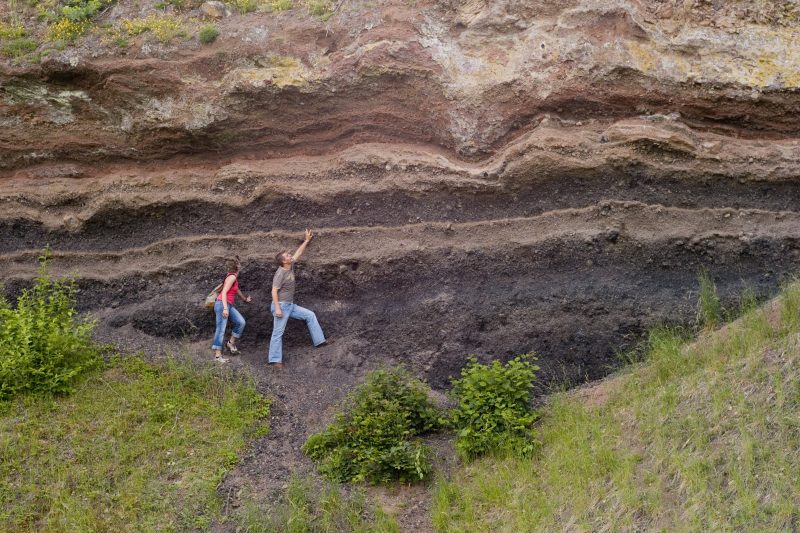
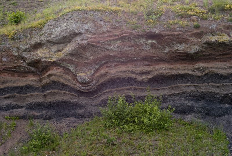
  • Eight slag cone volcanoes and two dry maars that give deep insights into the fiery history of the East Eifel.

Information about Traumpfad "Booser Doppelmaartour"

Length

9,1 km

Altitude

146 m

Duration

2:40 hours

Difficulty

easy

How to get there
Start
Parking
3d-Flight
Public transport
  • A 48 Exit Mayen/Mendig
  • B 258 towards Nürburgring
  • at Kreuznick towards Gerolstein/Boos on to B 410
  • right after Boos on to L 94 towards Nürburgring
  • 56729 Boos, Vulkan car park at Boos
56729 Boos L 94 Vulkan car park Booser Doppelmaar
  • 56729 Boos, Vulkan car park at Boos
  • 56729 Boos, town central
Mit dem Klick aktivieren Sie das Video, es werden aber Daten, wie Ihre IP-Adresse, zu Youtube übertragen.
Video anzeigen
Destination Stop:
Boos, Doppelmaar/Parkplatz
Lines:
  • Linie 377 FreizeitBus: Mayen - Kürrenberg - Nachtsheim - Boos - Bermel - Monreal - Mayen (01.04. bis 01.11.)

Destination Stop:
Boos, Kindergarten
Lines:
  • Linie 380 RegioBus: Richtung Kaisersesch bis Kürrenberg, Bürgerhaus - ab Kürrenberg, Bürgerhaus Linie 382 Richtung Boos

Links

Impressions from the Traumpfad "Booser Doppelmaartour"

Notes

Traumpfad open

Explore more Traumpfade

wanderather traumpfad

Wanderather

Length: 12 km

Difficulty: leicht

go to Traumpfad "Wanderather"
Traumpfade 1

Waldseepfad Rieden

Length: 14,2 km

Difficulty: moderate

go to Traumpfad "Waldseepfad Rieden"
Mutter und Tochter befühlen Wacholderheiden

Wacholderweg

Length: 8,8 km

Difficulty: moderate

go to Traumpfad "Wacholderweg"
Vulkanpfad Wanderweg

Vulkanpfad

Length: 6,6 km

Difficulty: moderate

go to Traumpfad "Vulkanpfad"
Traumpfade 2

Virne-Burgweg

Length: 9,9 km

Difficulty: moderate

go to Traumpfad "Virne-Burgweg"
Traumpfade 3

Vier-Berge-Tour

Length: 12,9 km

Difficulty: hard

go to Traumpfad "Vier-Berge-Tour"
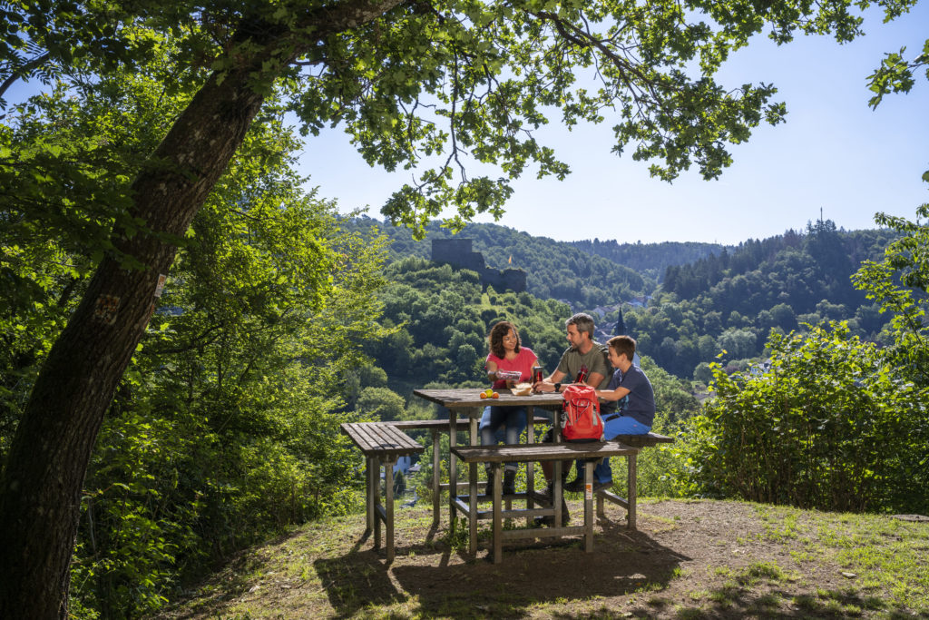
Rast auf einer Bank

Pellenzer Seepfad

Length: 16 km

Difficulty: hard

go to Traumpfad "Pellenzer Seepfad"
nette schieferpfad

Nette-Schieferpfad

Length: 9,2 km

Difficulty: moderate

go to Traumpfad "Nette-Schieferpfad"
Traumpfade 4

Monrealer Ritterschlag

Length: 13,7 km

Difficulty: hard

go to Traumpfad "Monrealer Ritterschlag"
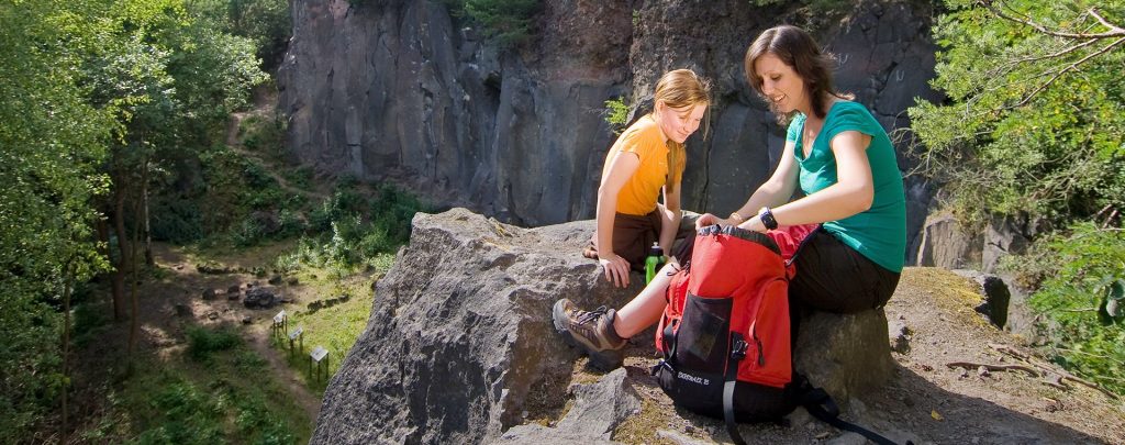
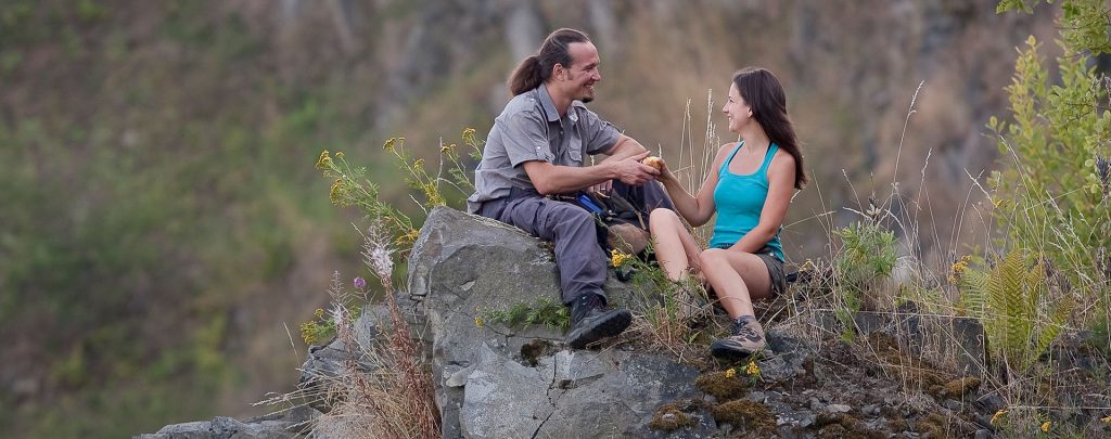
Zwei Wanderer rasten auf einem Felsen

Hochbermeler

Length: 10 km

Difficulty: leicht

go to Traumpfad "Hochbermeler"
heidehimmel-volkesfeld

Heidehimmel Volkesfeld

Length: 9,3 km

Difficulty: moderate

go to Traumpfad "Heidehimmel Volkesfeld"
Traumpfade 5

Förstersteig

Length: 14,7 km

Difficulty: hard

go to Traumpfad "Förstersteig"
Traumpfade 6

Bergheidenweg

Length: 10,3 km

Difficulty: moderate

go to Traumpfad "Bergheidenweg"
Our partners