Vulkanpfad Wanderweg

Vulkanpfad

Hike along the Eifel Traumpfad Vulkanpfad (Volcano Trail)

Fantastic views of the volcanoes of the East Eifel, unique glimpses of the origins of the fire-spewing mountains – an enjoyable trip back to the times of the quarrying industry – that makes hiking along the Volcano Trail an experience and the hiking trail to a “dream”.

Description

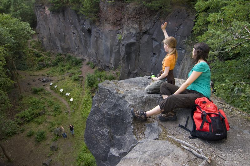
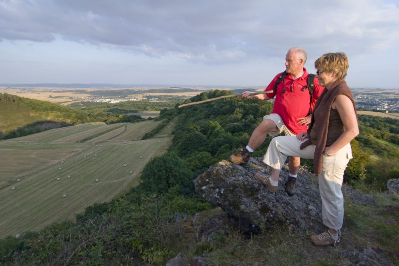
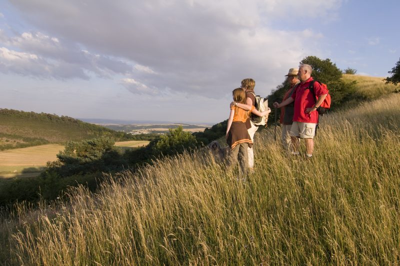
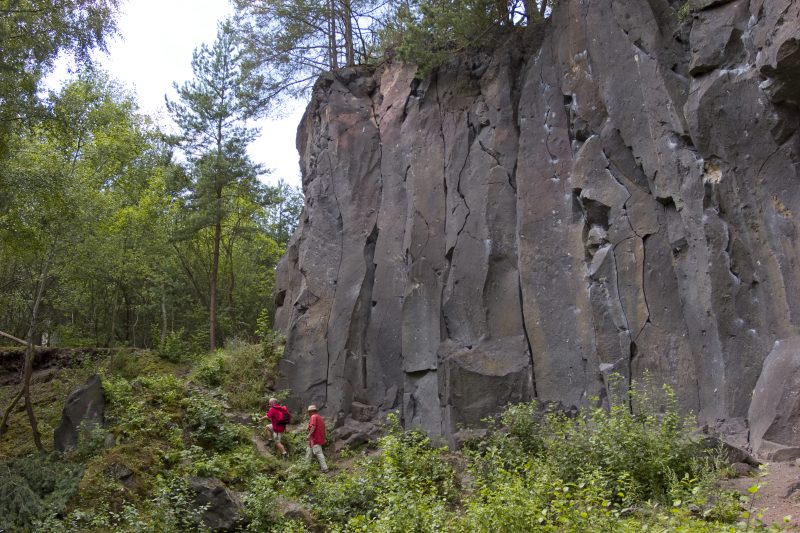
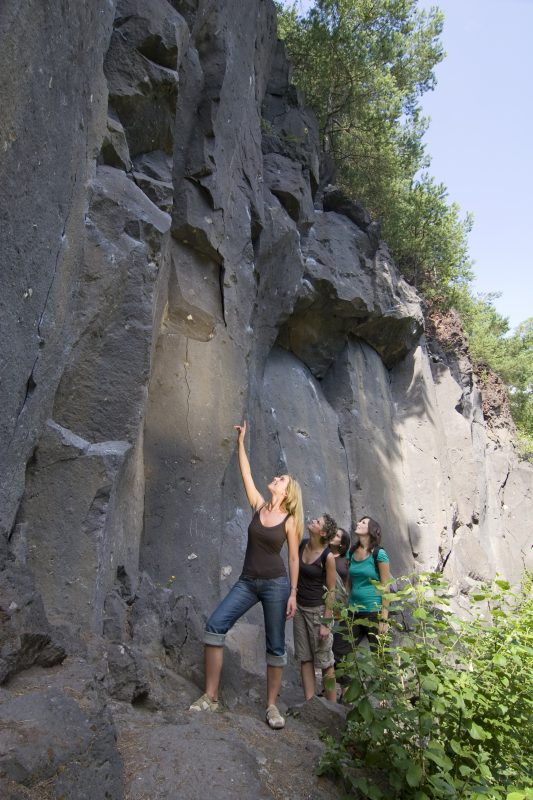
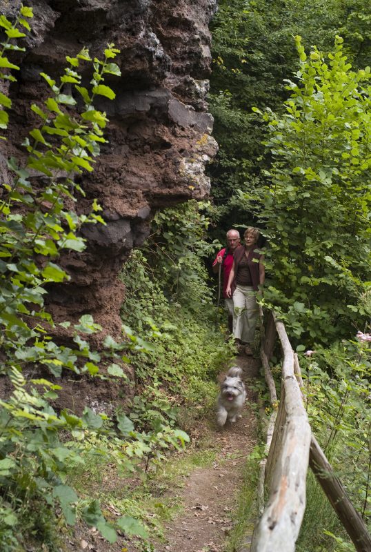
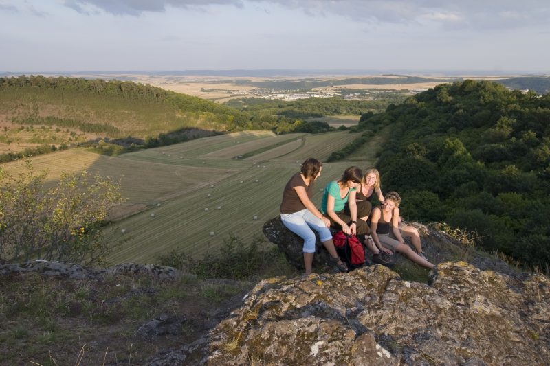
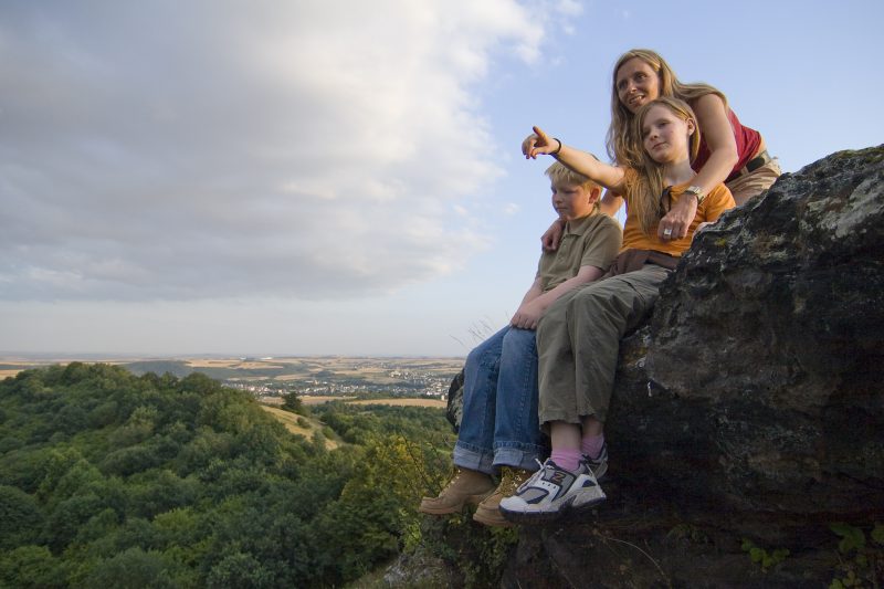
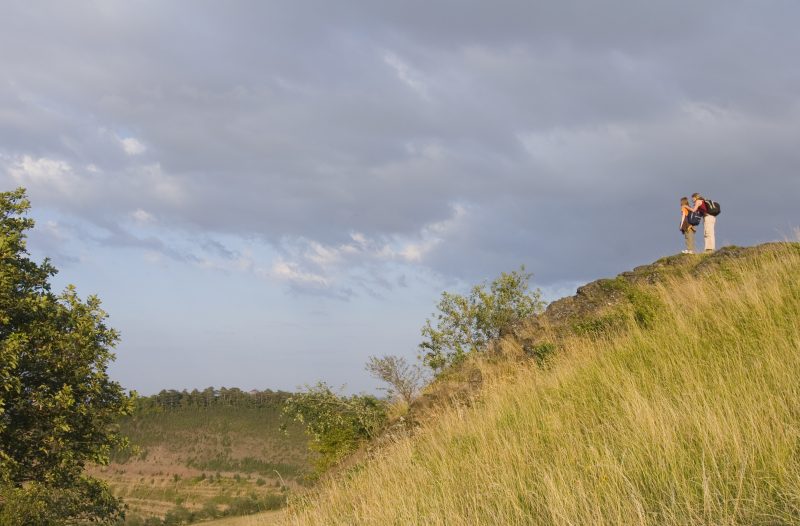
The first part of the trail is easy and leads from the Hochsimm Hall in Ettringen through the town. A narrow field path goes through meadows up to the peak of the Ettringen Bell Mountain. A fantastic view of the volcanoes of the East Eifel reward the effort. The trail continues along the west side of the crater rim and down to the breakthrough on the south of the crater (here it is rewarding to make a detour to the quarries of Ettringer Lay). Going along the southern lava stream the path then reaches the forest of Kottenheim Büden.

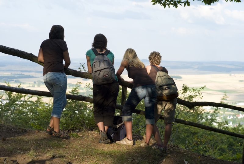
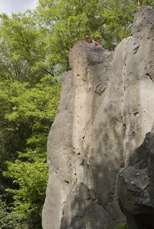
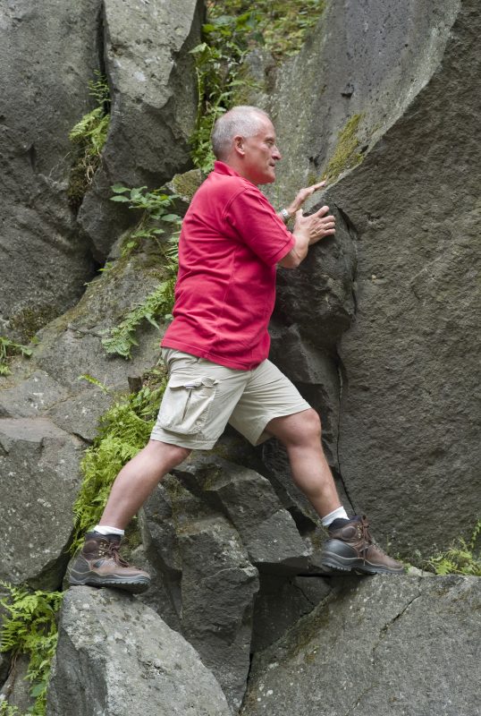
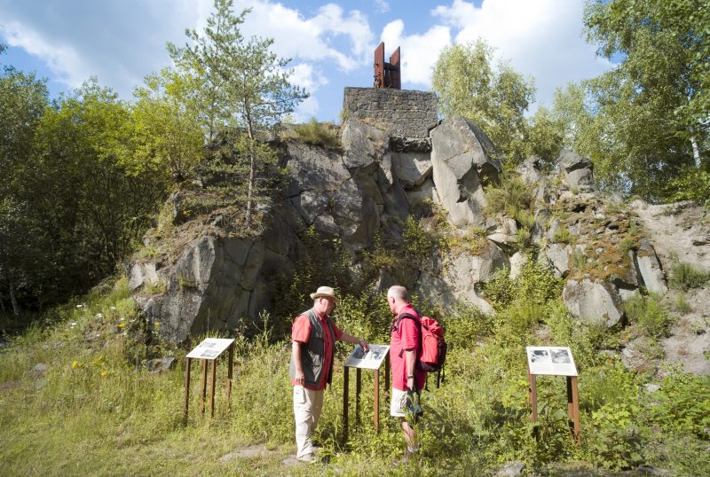
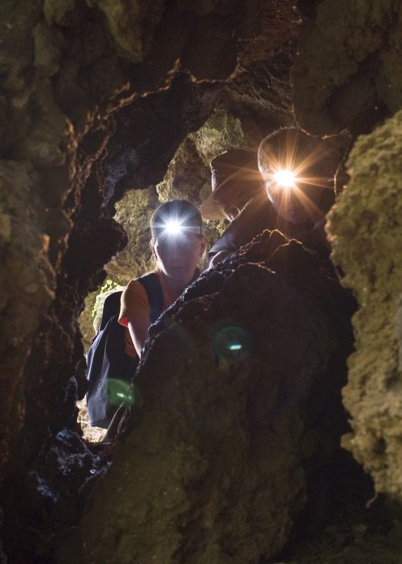
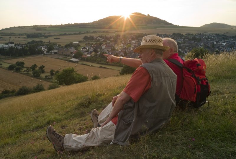
At the foot of the impressive slag wall are the "Sieben Stuben" (Seven Rooms), small caves in which people sought protection during the second world war. The trail continues up again to the south east side of the crater rim. Here there is a fantastic view of the Bellberg quarry and the volcanoes Hochsimmer, Bellberg, Sulzbusch and Hochstein. The following section goes steeply downhill over surfaced and natural paths into Kottenheimer Winfeld, an idyllic mining landscape with many witnesses from the time of basalt mining. Further on in the direction of Ettringen the trail goes past the rock monument "Junker Schilling", and then crosses a brook and meets the Hartborn mineral water fountain.Then the hiker can relax on the way back from this circular trail to the starting point.

Highlights at Traumpfad

  • Ettringer Bellberg mountain with fabulous view of the volcanic landscape
  • Mining landscape Kottenheimer Winfeld
  • Crater caves "Sieben Stuben" (Seven Rooms)

Information about Traumpfad "Vulkanpfad"

Length

6,6 km

Altitude

234 m

Duration

2 hours

Difficulty

moderate

How to get there
Start
Parking
3d-Flight
Public transport
  • A 61 Exit Mendig
  • tributary to A 61 Exit Kottenheim
  • in roundabout straight forward
  • next driveway right to Kottenheim
  • follow street to Ettringen
  • 56729 Ettringen, Hochsimmerhalle (Kottenheimer Straße 31)
56729 Ettringen Hochsimmerhalle (Kottenheimer Straße 31)
  • 56729 Ettringen Hochsimmerhalle (Kottenheimer Straße 31)
  • 56729 Ettringen Ettringer Lay
  • 56727 Mayen Parking on Erlebniszentrum Terra Vulcania (An den Mühlensteinen 7) (Depending Accessibility 2.3 km)
  • 56729 Kottenheim Parking at the church (Schulstraße) on school days from 14 clock (Depending Accessibility 1.5 km)
Mit dem Klick aktivieren Sie das Video, es werden aber Daten, wie Ihre IP-Adresse, zu Youtube übertragen.
Video anzeigen
Destination Stop:
Ettrignen, Mayener Straße
Lines:
  • Linie 390 RegioBus: Mayen - St. Johann - Bell - Niedermendig

Destination Stop:
Kottenheim station
Lines:
  • RB 38 „Pellenz-Eifel-Bahn“ - Kaisersesch-Mayen-Andernach
  • RB 23 "Lahn-Eifel-Bahn" - Kaisersesch-Mayen-Andernach

Links


Impressions from the Traumpfad "Vulkanpfad"

Notes

Traumpfad open

Explore more Traumpfade

wanderather traumpfad

Wanderather

Length: 12 km

Difficulty: leicht

go to Traumpfad "Wanderather"
Traumpfade 1

Waldseepfad Rieden

Length: 14,2 km

Difficulty: moderate

go to Traumpfad "Waldseepfad Rieden"
Mutter und Tochter befühlen Wacholderheiden

Wacholderweg

Length: 8,8 km

Difficulty: moderate

go to Traumpfad "Wacholderweg"
Traumpfade 2

Virne-Burgweg

Length: 9,9 km

Difficulty: moderate

go to Traumpfad "Virne-Burgweg"
Traumpfade 3

Vier-Berge-Tour

Length: 12,9 km

Difficulty: hard

go to Traumpfad "Vier-Berge-Tour"
Rast auf einer Bank

Pellenzer Seepfad

Length: 16 km

Difficulty: hard

go to Traumpfad "Pellenzer Seepfad"
nette schieferpfad

Nette-Schieferpfad

Length: 9,2 km

Difficulty: moderate

go to Traumpfad "Nette-Schieferpfad"
Traumpfade 4

Monrealer Ritterschlag

Length: 13,7 km

Difficulty: hard

go to Traumpfad "Monrealer Ritterschlag"
Zwei Wanderer rasten auf einem Felsen

Hochbermeler

Length: 10 km

Difficulty: leicht

go to Traumpfad "Hochbermeler"
heidehimmel-volkesfeld

Heidehimmel Volkesfeld

Length: 9,3 km

Difficulty: moderate

go to Traumpfad "Heidehimmel Volkesfeld"
Traumpfade 5

Förstersteig

Length: 14,7 km

Difficulty: hard

go to Traumpfad "Förstersteig"
Wanderer kühlen ihre Füße ab

Booser Doppelmaartour

Length: 9,1 km

Difficulty: easy

go to Traumpfad "Booser Doppelmaartour"
Traumpfade 6

Bergheidenweg

Length: 10,3 km

Difficulty: moderate

go to Traumpfad "Bergheidenweg"
Our partners