vier-berge-tour-neu

Vier-Berge-Tour

Hike along the Eifel Traumpfad Vier-Berge-Tour (Four Mountain Tour)

Four mountains in one circular tour - idyllic valleys, tranquil forests and fantastic distant views. As a special treat there are rocks, ravines, caves, mighty tree giants, and even an ant path with its own bridge!!

current route information

Description

The access path goes from the carpark Erlen Mill in Mendig into the idyllic Kellbach valley. The Vier-Berge-Tour starts here after 700 m and goes upwards over the hill slope. Soon a detour is recommended into the rocky region “Rauhbuur” with massive tuff walls whose stones were used for a long time in the making of baking ovens.

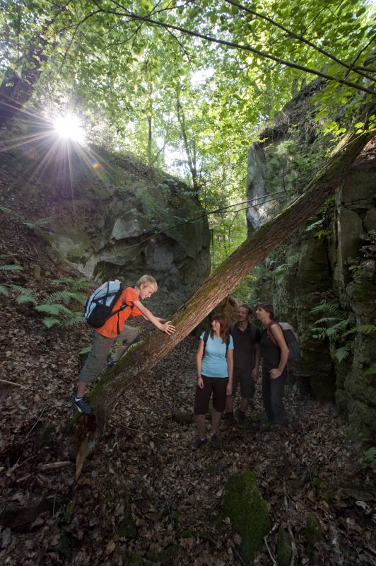
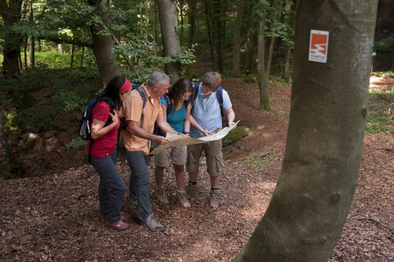
After the car park Schweinsgraben on the L 82 the trail continues along natural forest paths. The second little bridge in the forest earns our attention – it serves to protect the ant path that crosses here! Further uphill an excursion is recommended to the impressive rocky gorges of Marxe-Lay. Shortly afterwards the path goes through wonderful mixed forest.

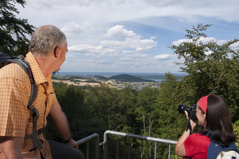
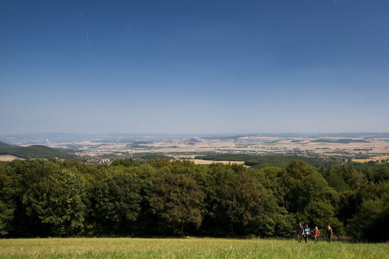
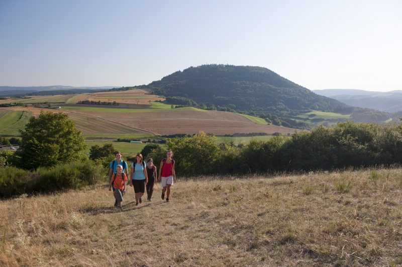
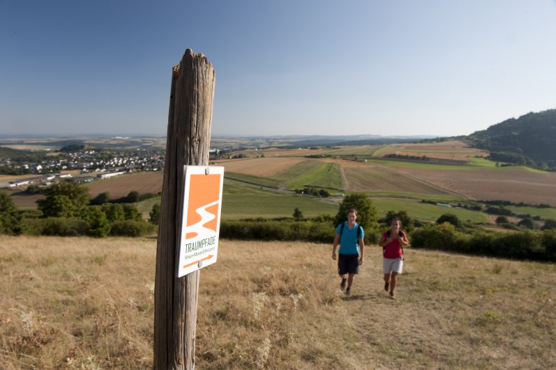
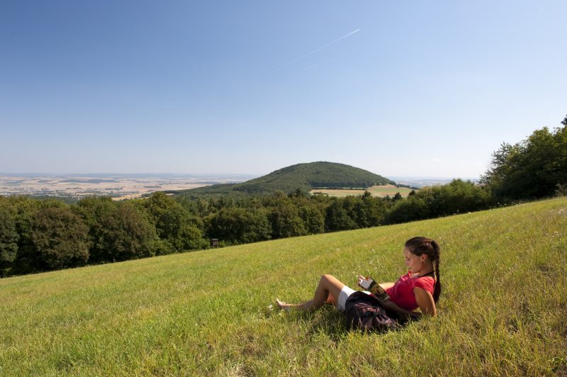
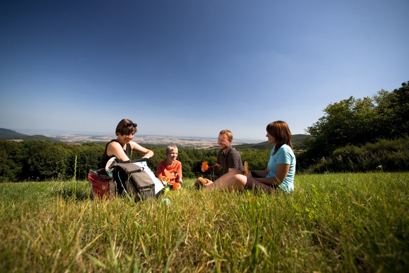
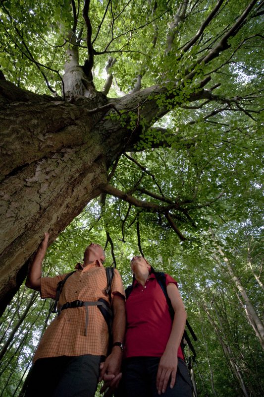
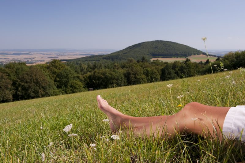
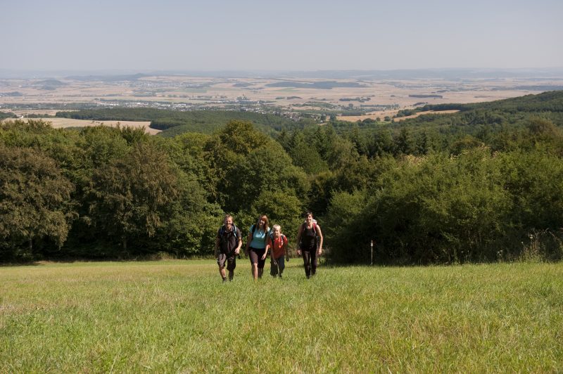
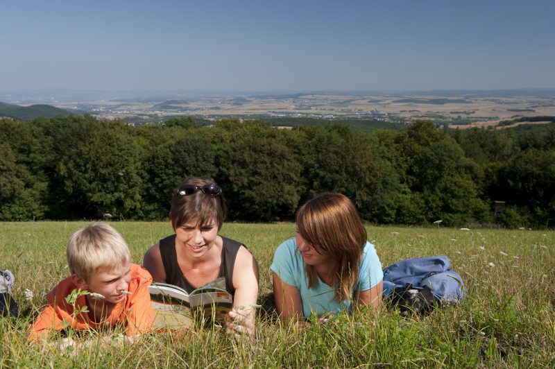
Just before the edge of the forest, in a sharp left turn, do not overlook the A-oak tree! The climb up the first mountain follows – the Gänsehals – the first glimpses of the Laacher Lake and the Neuwied basin call for a pause to catch one’s breath. A sleepy narrow pass runs uphill and then below the second mountain, the Schmitzkopf, with panoramic views. Reaching the forest again, the trail continues on soft paths uphill to mountain no. 3: Sulzbusch.

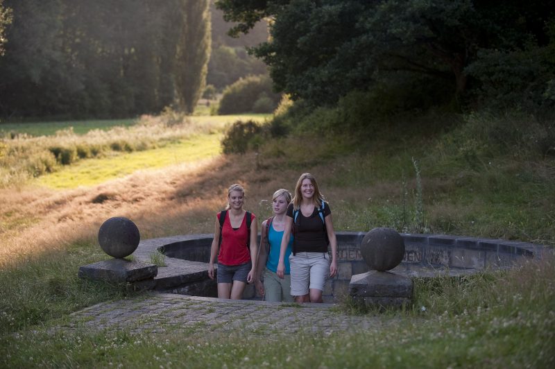
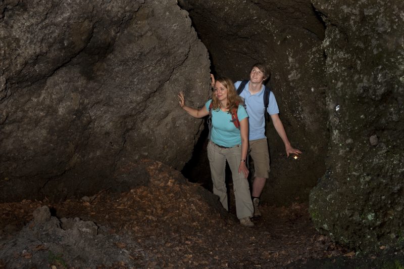
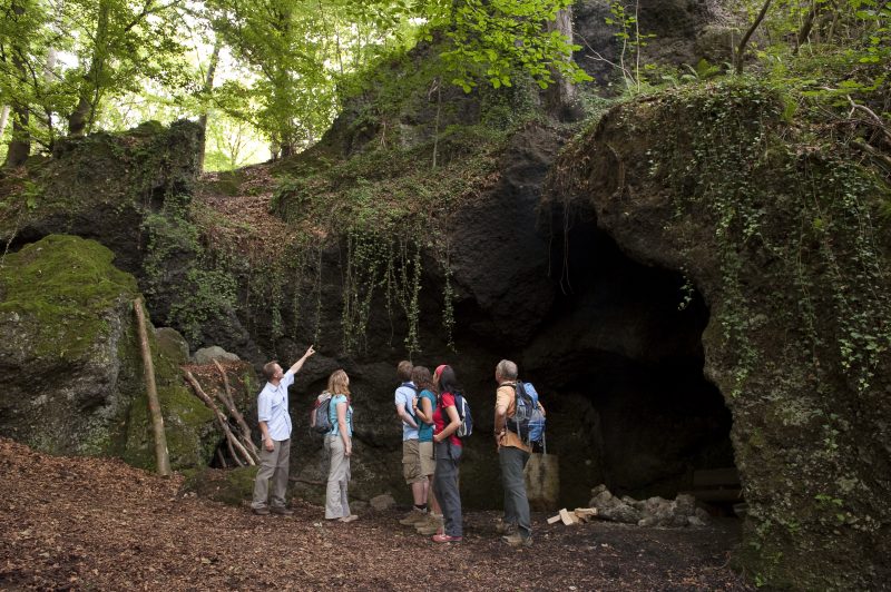
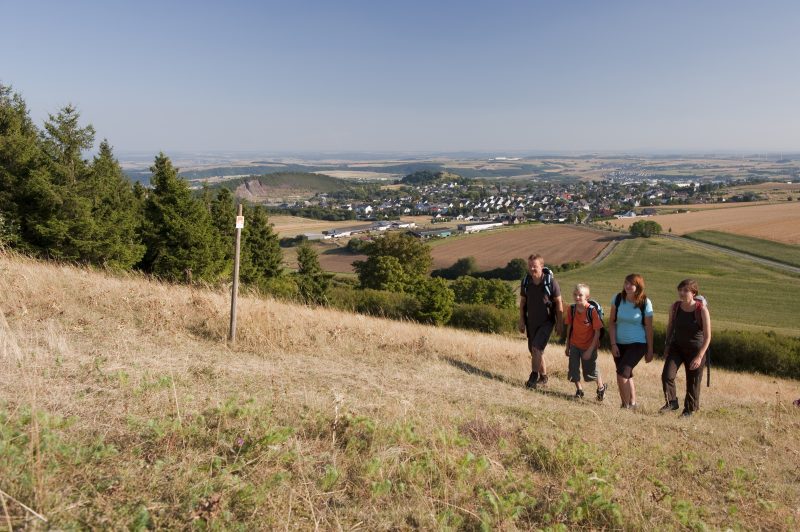
The descent leads initially through forests, then fields and meadows, and after crossing the L 82, it goes past refuge caves – the sandy caves. The ascent to the fourth mountain, the Hochstein, requires some degree if fitness. Having reached the top, the trail continues through the forest to the rock viewing point of the Hochstein. Some metres below the next attraction is waiting: the Genoveva Caves. After the descent through silent forest into the Kellbach valley, the acidulous waters of the Erlenbrunnen spring fountain at the starting point are refreshing.

Highlights at Traumpfad

  • Volcano Gänsehals Schmitzkopf Sulzbusch Hochstein with fantastic views over the volcanic Eifel Pellenz and the Neuwied basin
  • Idyllic Kellbach valley
  • Massive tuff walls in the rocky region “Rauhbuur“
  • impressive gorges in Marxe Lay
  • Erlenbrunnen spring and the legendary Genoveva Caves

Information about Traumpfad "Vier-Berge-Tour"

Length

12,9 km

Altitude

504 m

Duration

5 hours

Difficulty

hard

How to get there
Start
Parking
3d-Flight
Public transport
  • A 61 Exit Mendig/Maria Laach
  • B262 towards Mayen
  • right towards Mendig/Bell/Obermendig
  • 200 meter left in Laacher Straße
  • first option right 300 meter to car park Erlenmühle
  • 56743 Mendig, car park Erlenmühle (Ernteweg)
56743 Mendig car park Erlenmühle (Ernteweg)
  • 56743 Mendig car park Erlenmühle (Ernteweg)
  • 56745 Bell Gänsehals, hiker car park Gänsehals
  • 56745 Bell car park Schweinsgraben at L 82
Mit dem Klick aktivieren Sie das Video, es werden aber Daten, wie Ihre IP-Adresse, zu Youtube übertragen.
Video anzeigen
Destination Stop:
Ettringen, Roderhöfe (Quereinstieg Hochsteinhöhle)
Lines:
  • Linie 390 RegioBus: Mayen - St. Johann - Bell - Niedermendig

Destination Stop:
Bell, Neustraße (ca. 1,5 km bis Startpunkt)
Lines:
  • Linie 390 RegioBus: Mayen - St. Johann - Bell - Niedermendig

Links


Impressions from the Traumpfad "Vier-Berge-Tour"

Notes

current route information
Umleitung wegen Teilsperrung eingerichtet

Im Bereich Sulzbusch finden Brennholzarbeiten statt, daher ist dieser Teilbereich gesperrt. Es ist eine Umleitung über Rodder Höfe eingerichtet. (Stand: 17.01.2024)

(Gültig von 18.01.2024 bis 02.02.2024)
Sperrung wegen Jagd

Aufgrund einer Jagd sind die Traumpfade Waldseepfad Rieden und Vier-Berge Tour am 27.01.2024 komplett gesperrt. Bitte weichen Sie zu Ihrer eigenen Sicherheit auf einen anderen Traumpfad aus. (Stand: 17.01.2024)


(Gültig am: 27.01.2024)
Sperrung Gänsehalsturm

Aus Gründen der Verkehrssicherungspflicht schließt der Betreiber des Gänsehalsturms von Einsetzen der Frostperiode bis Ostern den Turm. Durch Kondensation kann sich Eis bilden und die Besucher könnten auf den glatten Stufen ausrutschen und sich verletzen.

Explore more Traumpfade

wanderather traumpfad

Wanderather

Length: 12 km

Difficulty: leicht

go to Traumpfad "Wanderather"
Traumpfade 1

Waldseepfad Rieden

Length: 14,2 km

Difficulty: moderate

go to Traumpfad "Waldseepfad Rieden"
Mutter und Tochter befühlen Wacholderheiden

Wacholderweg

Length: 8,8 km

Difficulty: moderate

go to Traumpfad "Wacholderweg"
Vulkanpfad Wanderweg

Vulkanpfad

Length: 6,6 km

Difficulty: moderate

go to Traumpfad "Vulkanpfad"
Traumpfade 2

Virne-Burgweg

Length: 9,9 km

Difficulty: moderate

go to Traumpfad "Virne-Burgweg"
Rast auf einer Bank

Pellenzer Seepfad

Length: 16 km

Difficulty: hard

go to Traumpfad "Pellenzer Seepfad"
nette schieferpfad

Nette-Schieferpfad

Length: 9,2 km

Difficulty: moderate

go to Traumpfad "Nette-Schieferpfad"
Traumpfade 3

Monrealer Ritterschlag

Length: 13,7 km

Difficulty: hard

go to Traumpfad "Monrealer Ritterschlag"
Zwei Wanderer rasten auf einem Felsen

Hochbermeler

Length: 10 km

Difficulty: leicht

go to Traumpfad "Hochbermeler"
heidehimmel-volkesfeld

Heidehimmel Volkesfeld

Length: 9,3 km

Difficulty: moderate

go to Traumpfad "Heidehimmel Volkesfeld"
Traumpfade 4

Förstersteig

Length: 14,7 km

Difficulty: hard

go to Traumpfad "Förstersteig"
Wanderer kühlen ihre Füße ab

Booser Doppelmaartour

Length: 9,1 km

Difficulty: easy

go to Traumpfad "Booser Doppelmaartour"
Traumpfade 5

Bergheidenweg

Length: 10,3 km

Difficulty: moderate

go to Traumpfad "Bergheidenweg"
Our partners