nette schieferpfad

Nette-Schieferpfad

Hike along the Eifel Traumpfad Nette-Schieferpfad (Nette Slate Trail)

Through the idyllic river landscape of the Nette, along narrow paths and past rough slate cliffs. Glimpses of slate mining, great views and adventure in the tunnel of a former railway track round off this trail splendidly.

current route information

Description

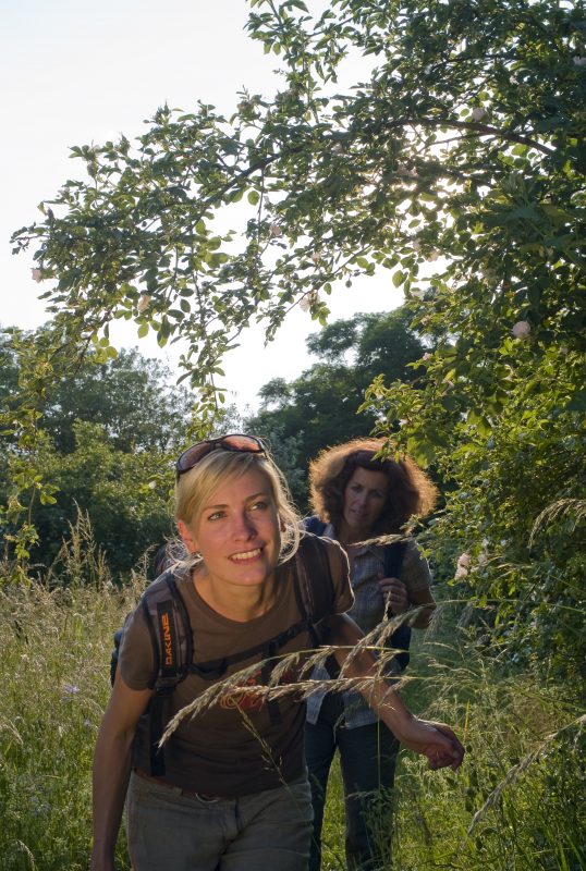
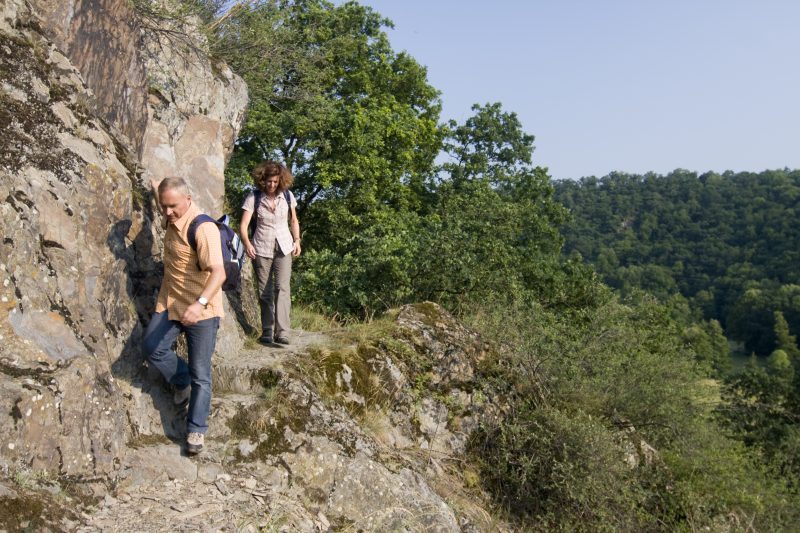
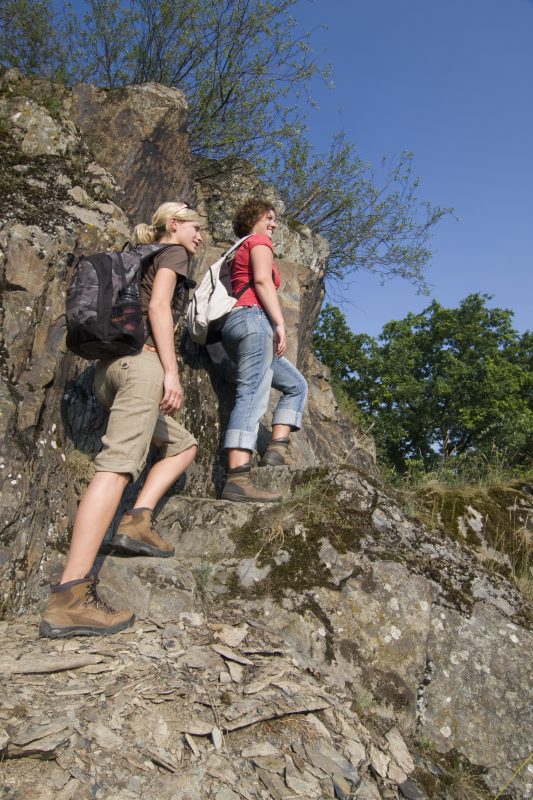
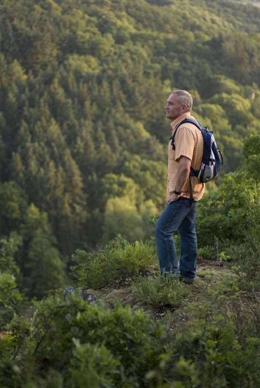
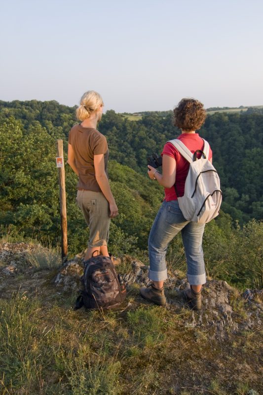
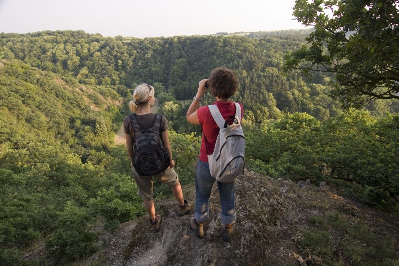
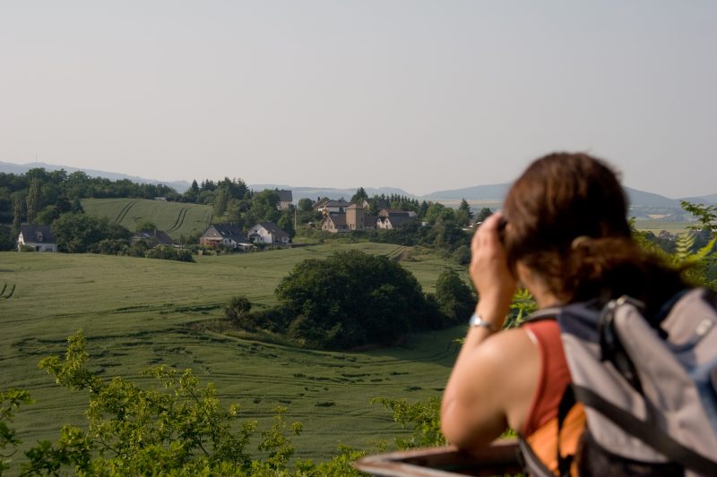
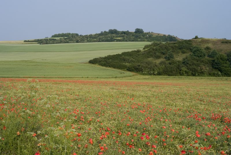
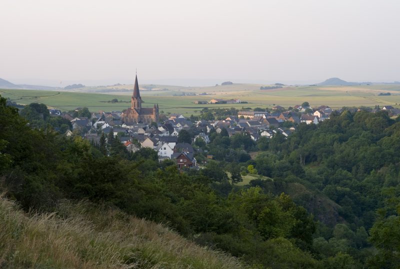
The trail goes over the Nette stone bridge in Trimbs into the flowering valley meadows of the Nette. Initially it follows the rippling rivulet and then starts to ascend along soft grass footpaths. Across rare low nutrient calcareous grassland and past rough slate cliffs, soon “Trimbs Switzerland“ is reached where a grand view of Trimbs and Welling is awaiting. Continuing along the trail the hiker goes through spacious fields up to the Burberg hill. Here there is a wonderful all round panorama view of the Nette valley. The path continues along the slope down into the Nette valley.

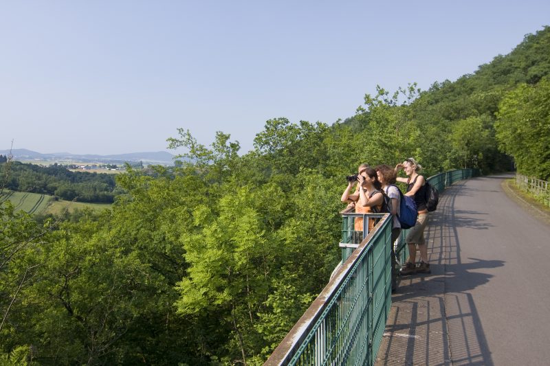
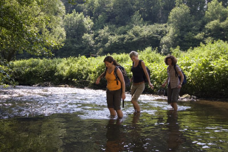
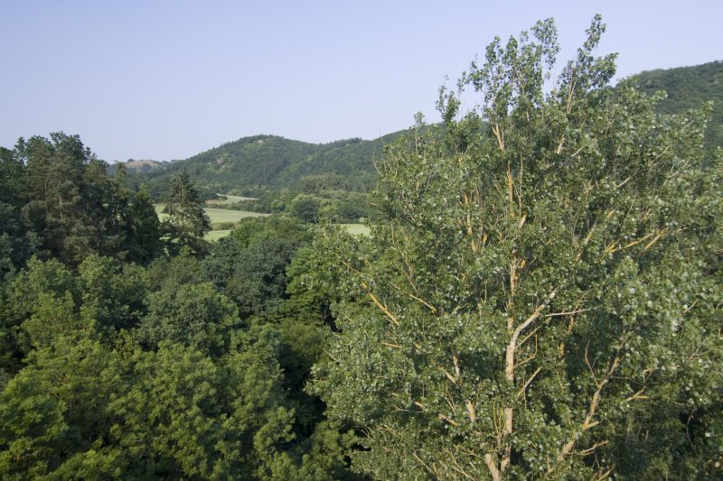
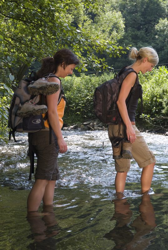
Having arrived in the valley, the hiker follows the murmuring Nette along a beautiful natural footpath. Through sparse alluvial forests the trail goes slowly but continuously uphill, until the mighty portal of “Hausen 2” is reached. A fancy for adventure and railway romance overcomes the hiker on walking through the 250 m long, lit tunnel. At the end there is a unique view of the Nette viaduct before the trail continues into the silent forest. Following the edge of the forest there are repeatedly wonderful views before the steep descent returns down into the Nette valley. After several kilometres along the river and through narrow side valleys the hiker reaches his destination in Trimbs.

Highlights at Traumpfad

  • Nette Valley Nature Reserve
  • “Trimbs Switzerland”
  • All-round panorama view from the Burberg
  • Former railway tunnel
  • View of the Nette viaduct
  • Slate rock formations

Information about Traumpfad "Nette-Schieferpfad"

Length

9,2 km

Altitude

295 m

Duration

3:30 hours

Difficulty

moderate

How to get there
Start
Parking
3d-Flight
Public transport
  • A 48 Exit Polch
  • further on L 113 to Trimbs
  • 56753 Trimbs, Parkplatz am Sportplatz (Hauptstraße 31)
56753 Trimbs civic centre (Auf dem Reusch)
56753 Trimbs Parkplatz am Sportplatz (Hauptstraße 31)
Mit dem Klick aktivieren Sie das Video, es werden aber Daten, wie Ihre IP-Adresse, zu Youtube übertragen.
Video anzeigen
Destination Stop:
Trimbs, Nettebrücke
Lines:
  • Linie 360 RegioBus: Münstermaifeld - Mertloch - Polch - Hausen - Mayen

Links

Impressions from the Traumpfad "Nette-Schieferpfad"

Notes

current route information
Hinweis

Zum Schutz der Natur und der dort lebenden Tierwelt bitten wir Sie, den Traumpfad zwischen Sonnenuntergang und Sonnenaufgang nicht zu erwandern. Zudem bitten wir Sie Hunde an der Leine zu führen.

Überschwemmungsgefahr von Dezember bis März

Zwischen Dezember und März besteht durch Starkregen Überschwemmungsgefahr im Bereich der Nette. Dann ist der Weg nicht wanderbar und auch nach Rückgang der Überschwemmung ist der Weg noch länger schlammig und kaum begehbar.


Explore more Traumpfade

wanderather traumpfad

Wanderather

Length: 12 km

Difficulty: leicht

go to Traumpfad "Wanderather"
Traumpfade 1

Waldseepfad Rieden

Length: 14,2 km

Difficulty: moderate

go to Traumpfad "Waldseepfad Rieden"
Mutter und Tochter befühlen Wacholderheiden

Wacholderweg

Length: 8,8 km

Difficulty: moderate

go to Traumpfad "Wacholderweg"
Vulkanpfad Wanderweg

Vulkanpfad

Length: 6,6 km

Difficulty: moderate

go to Traumpfad "Vulkanpfad"
Traumpfade 2

Virne-Burgweg

Length: 9,9 km

Difficulty: moderate

go to Traumpfad "Virne-Burgweg"
Traumpfade 3

Vier-Berge-Tour

Length: 12,9 km

Difficulty: hard

go to Traumpfad "Vier-Berge-Tour"
Rast auf einer Bank

Pellenzer Seepfad

Length: 16 km

Difficulty: hard

go to Traumpfad "Pellenzer Seepfad"
Traumpfade 4

Monrealer Ritterschlag

Length: 13,7 km

Difficulty: hard

go to Traumpfad "Monrealer Ritterschlag"
Zwei Wanderer rasten auf einem Felsen

Hochbermeler

Length: 10 km

Difficulty: leicht

go to Traumpfad "Hochbermeler"
heidehimmel-volkesfeld

Heidehimmel Volkesfeld

Length: 9,3 km

Difficulty: moderate

go to Traumpfad "Heidehimmel Volkesfeld"
Traumpfade 5

Förstersteig

Length: 14,7 km

Difficulty: hard

go to Traumpfad "Förstersteig"
Wanderer kühlen ihre Füße ab

Booser Doppelmaartour

Length: 9,1 km

Difficulty: easy

go to Traumpfad "Booser Doppelmaartour"
Traumpfade 6

Bergheidenweg

Length: 10,3 km

Difficulty: moderate

go to Traumpfad "Bergheidenweg"
Our partners