monrealer-ritterschlag-logo

Monrealer Ritterschlag

Hiking along the Eifel Traumpfad Monrealer Ritterschlag

Along the tracks of knights: the Löwenburg and Philippsburg castles tower majestically above the medieval half-timbered village of Monreal. Steep and meandering forest paths, adventurous ravines and spectacular distant views make the trail a unique experience.

current route information

Description

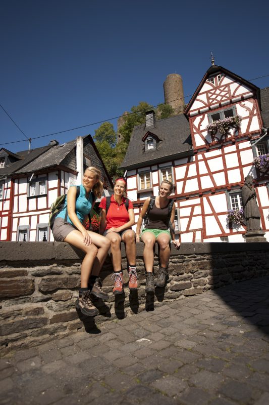
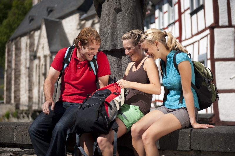
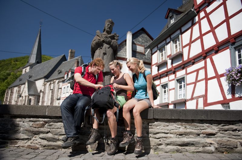
An access road leads from the station in Monreal to the starting point at the old vicarage. It continues through historic village centre over the Lower Castle Bridge. Following the banks of the Elz, the path goes through a quiet residential area out into nature. The gently climbing path conquers the escarpment above the Elz and reveals a breathtaking view of the castles. Along the way the farm shop of the Schnürenhof offers fresh products from their own farming for sale (Uschis Hofladen is closed).

The trail continues along soft footpaths through the idyllic Elz valley, through a deeply carved narrow pass uphill and further through open meadowland with a great panorama. After a curve and a short ascent to Juckelsberg mountain there is a seat to rest. The trail crosses over the L 98 and leads along a short distance over a field into the forest, before the view of the Hochbermel and of the sleepy Thürelz valley comes into sight.

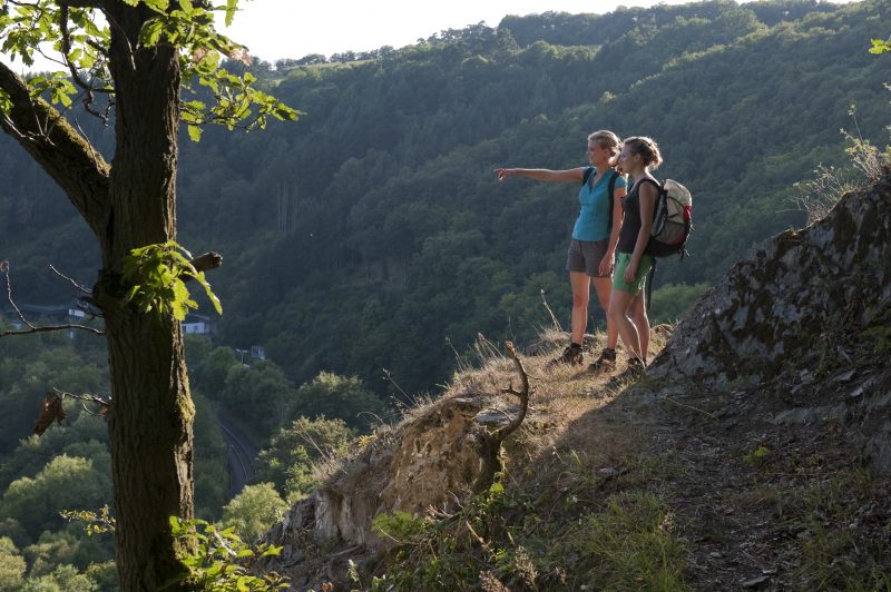
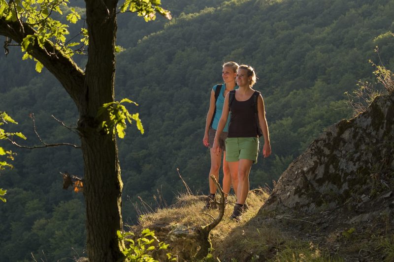
The serpentine descent that follows goes down across a steep barren slope with gnarled oaks growing on it into open gorse bush countryside. In the valley the trail crosses the railway tracks (subway) and the brook, passes the junction to the “Traumpfad Hochbermeler“ and climbs up along narrow paths to a ridge. The trail follows briefly along the ridge between Elz and Thürelz and then starts to descend down to Augstmühle.

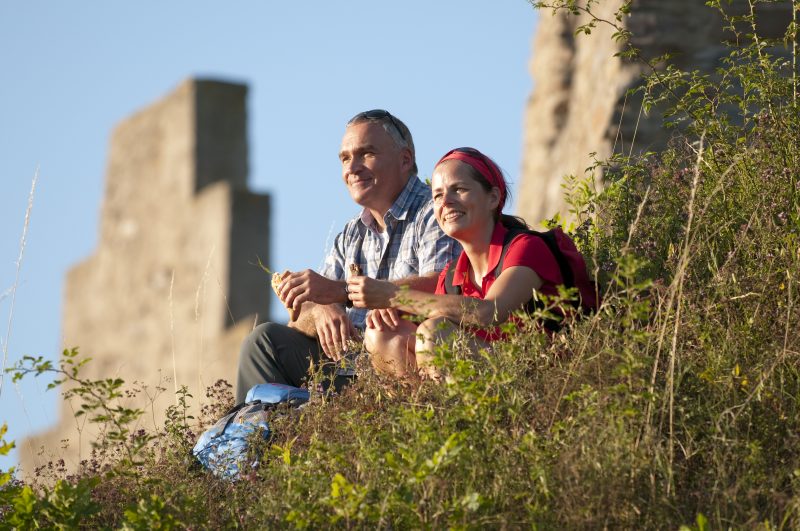
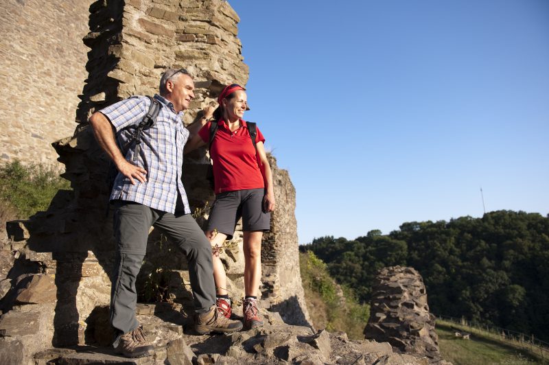
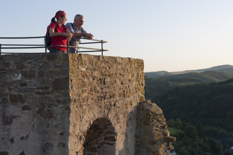
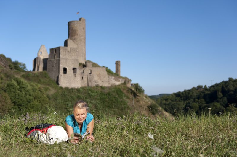
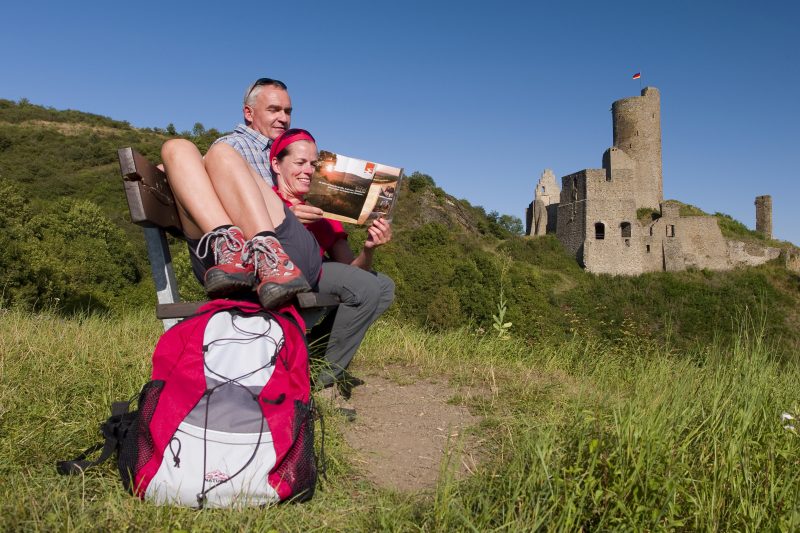
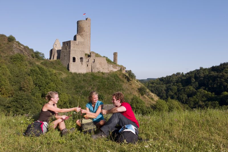
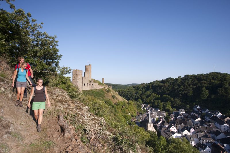
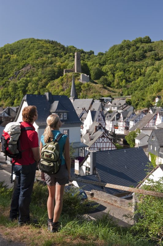
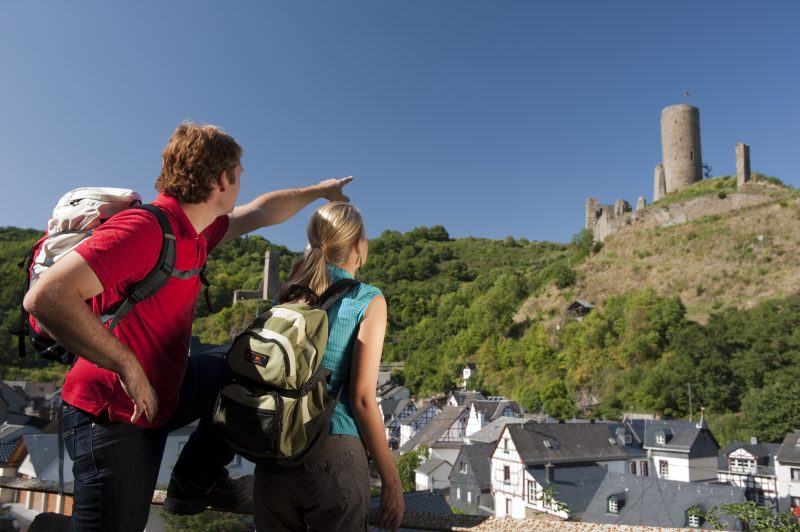
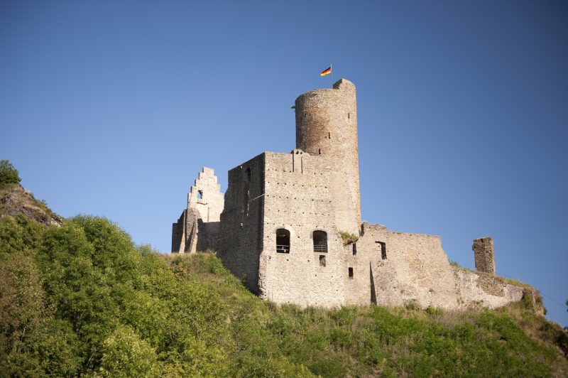
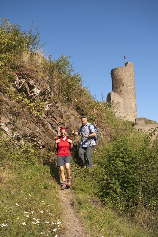
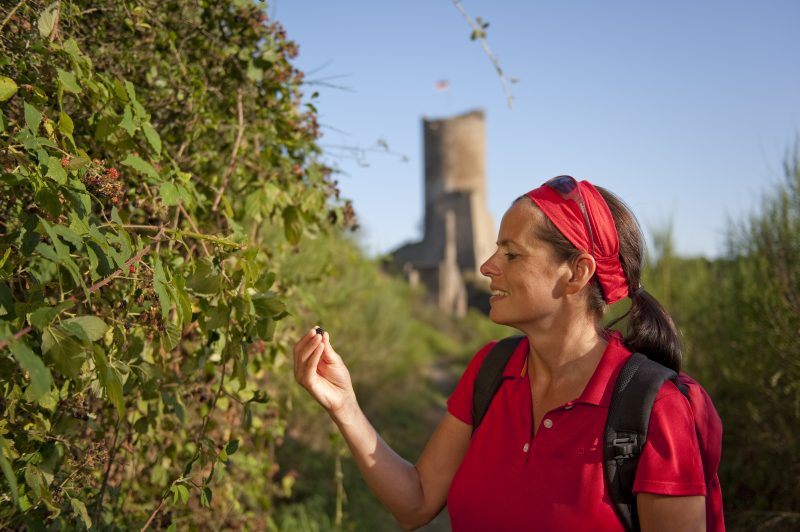
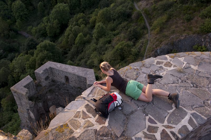
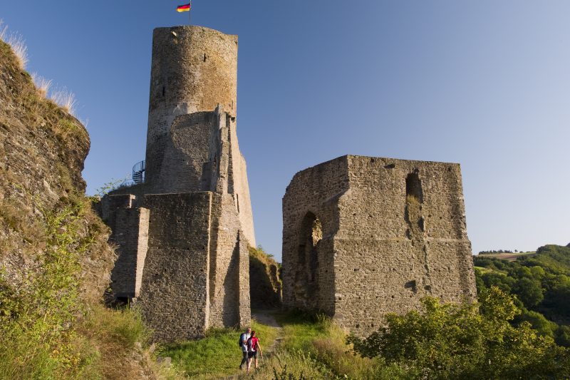
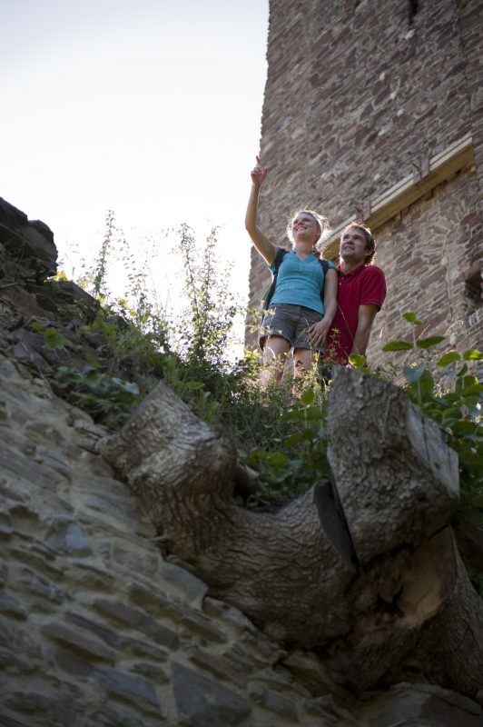
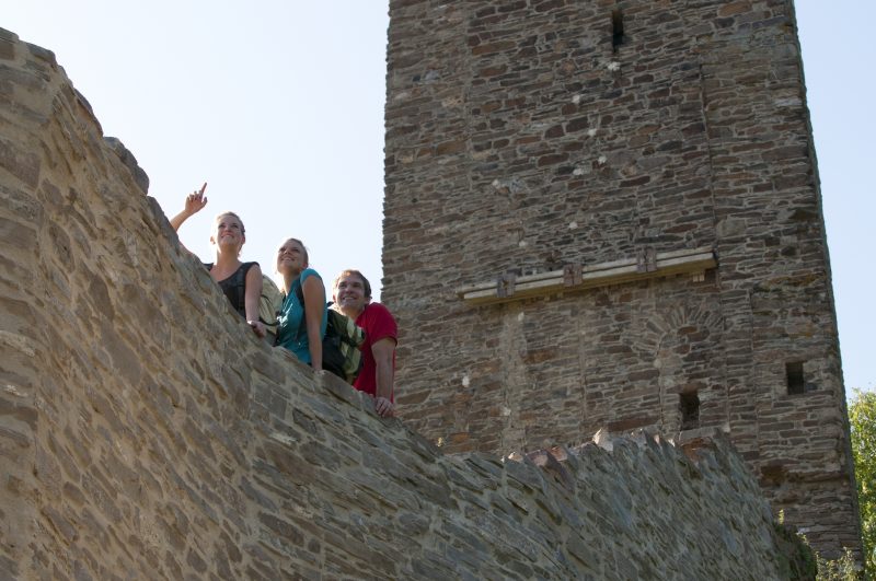
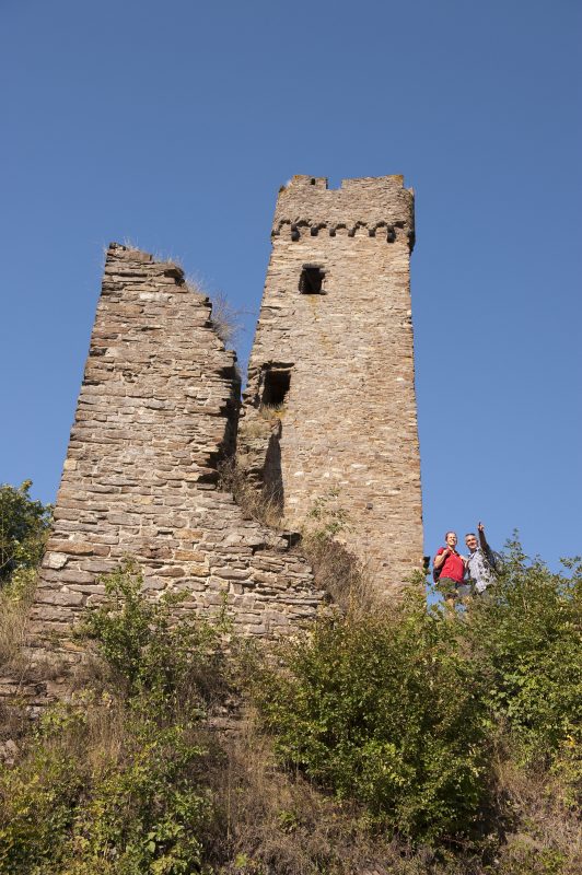
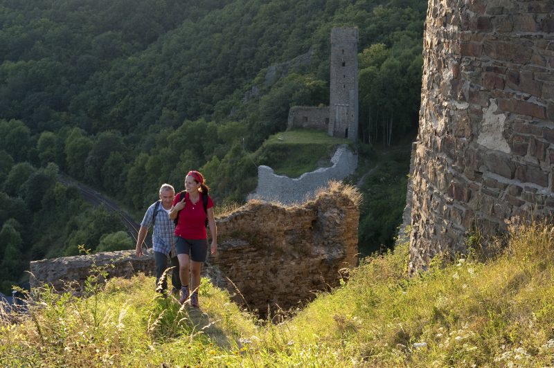
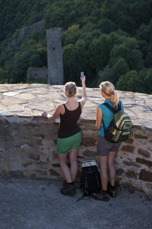
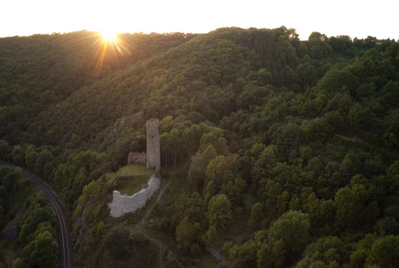
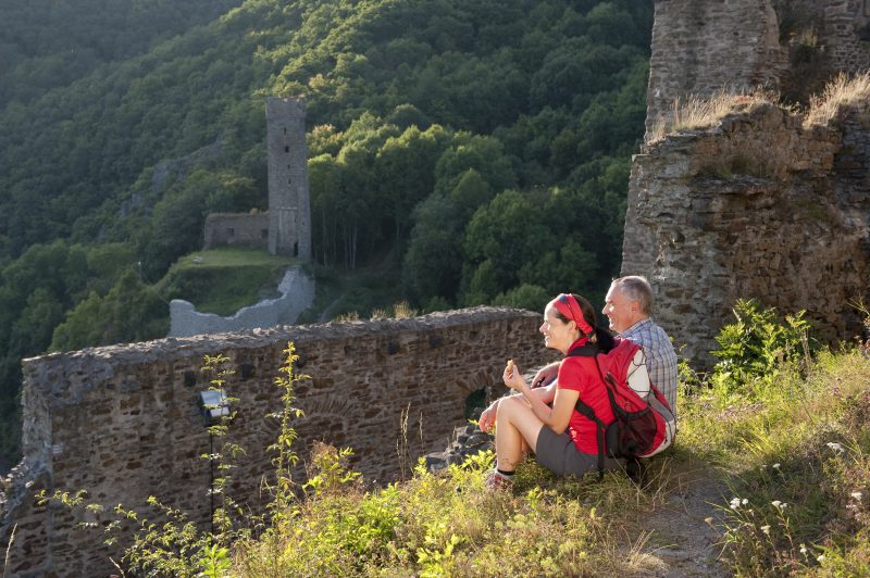
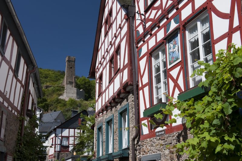
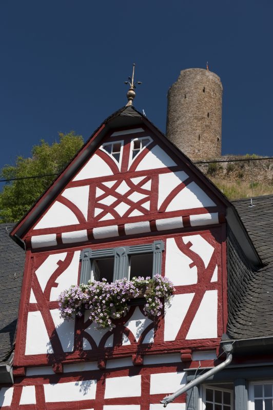
After the confluence of both streams, the trail goes across the Elz and reaches the sportsfield of Monreal. Here the 100 m high steep ascent to the Monreal castles. After going through meadowland, the path reaches a rocky promontory in the forest where there is a spectacular view of Monreal and the castles. A few metres later the path forks, one path going down to Philippsburg castle. A last climb goes to the walls of the Löwenberg Castle. Finally a narrow path leads down to Monreal.

Highlights at Traumpfad

  • Idyllic half-timbered village of Monreal with quaint streets
  • Views of the valleys of the Elz and Thürelz
  • Paths through forest ravines and over a mountain ridge
  • Eifel panorama
  • Farm shop at Schnürenhof Ruins of the Philippsburg and Löwenburg Castles
  • Connecting path to the Traumpfad Hochbermeler

Information about Traumpfad "Monrealer Ritterschlag"

Length

13,7 km

Altitude

508 m

Duration

5 hours

Difficulty

hard

How to get there
Start
Further access
3d-Flight
Public transport
  • A 48 Exit Mayen
  • B 262 towards Mayen
  • right B 258 towards Nürburgring
  • right on to L 98 to Monreal
  • at the end of Monreal right on to L 96 towards Uersfeld/Kelberg
  • right ca park station (access to the start)
  • 56729 Monreal Old manse (Obere Schlossbrücke)
  • 56729 Monreal Station (Bahnhofstraße)
  • 56729 Monreal car park at station (Bahnhofstraße)
  • 56729 Monreal An der Phillippsburg
Mit dem Klick aktivieren Sie das Video, es werden aber Daten, wie Ihre IP-Adresse, zu Youtube übertragen.
Video anzeigen
Destination Stop:
Monreal station
Lines:
  • RB 38 Kaisersesch-Mayen-Andernach - Pellenz-Eifel-Strecke (Lahn-Eifel-Bahn)

Destination Stop:
Monreal, Bahnhofstraße
Lines:
  • Linie 370 Ulmen - Uersfeld - Bermel/Kaisersesch - Monreal - Mayen
  • Linie 377 FreizeitBus: Mayen - Kürrenberg - Nachtsheim - Boos - Bermel - Monreal - Mayen (01.04. bis 01.11.)

Links


Impressions from the Traumpfad "Monrealer Ritterschlag"

Notes

current route information
Reparaturarbeiten durch Sachbeschädigung

Am Aufstieg zur Löwenburg sowie an den Wegweisern auf der Burg selbst, wurden massive Sachbeschädigungen festgestellt. Eine Umleitung wurde eingerichtet.

(Stand: 27.04.2021)


Explore more Traumpfade

wanderather traumpfad

Wanderather

Length: 12 km

Difficulty: leicht

go to Traumpfad "Wanderather"
Traumpfade 1

Waldseepfad Rieden

Length: 14,2 km

Difficulty: moderate

go to Traumpfad "Waldseepfad Rieden"
Mutter und Tochter befühlen Wacholderheiden

Wacholderweg

Length: 8,8 km

Difficulty: moderate

go to Traumpfad "Wacholderweg"
Vulkanpfad Wanderweg

Vulkanpfad

Length: 6,6 km

Difficulty: moderate

go to Traumpfad "Vulkanpfad"
Traumpfade 2

Virne-Burgweg

Length: 9,9 km

Difficulty: moderate

go to Traumpfad "Virne-Burgweg"
Traumpfade 3

Vier-Berge-Tour

Length: 12,9 km

Difficulty: hard

go to Traumpfad "Vier-Berge-Tour"
Rast auf einer Bank

Pellenzer Seepfad

Length: 16 km

Difficulty: hard

go to Traumpfad "Pellenzer Seepfad"
nette schieferpfad

Nette-Schieferpfad

Length: 9,2 km

Difficulty: moderate

go to Traumpfad "Nette-Schieferpfad"
Zwei Wanderer rasten auf einem Felsen

Hochbermeler

Length: 10 km

Difficulty: leicht

go to Traumpfad "Hochbermeler"
heidehimmel-volkesfeld

Heidehimmel Volkesfeld

Length: 9,3 km

Difficulty: moderate

go to Traumpfad "Heidehimmel Volkesfeld"
Traumpfade 4

Förstersteig

Length: 14,7 km

Difficulty: hard

go to Traumpfad "Förstersteig"
Wanderer kühlen ihre Füße ab

Booser Doppelmaartour

Length: 9,1 km

Difficulty: easy

go to Traumpfad "Booser Doppelmaartour"
Traumpfade 5

Bergheidenweg

Length: 10,3 km

Difficulty: moderate

go to Traumpfad "Bergheidenweg"
Our partners