waldseepfad-rieden-neu

Waldseepfad Rieden

Hike along the Eifel Traumpfad Waldseepfad Rieden (Rieden Forest Lake Trail)

Sleepy valleys, peaceful sections of forest, combined with fantastic views of the volcanic landscape. Highlights are the Rieden Forest Lake and a great 360° panorama from the viewing platform of the Gänsehals Tower.

current route information

Description

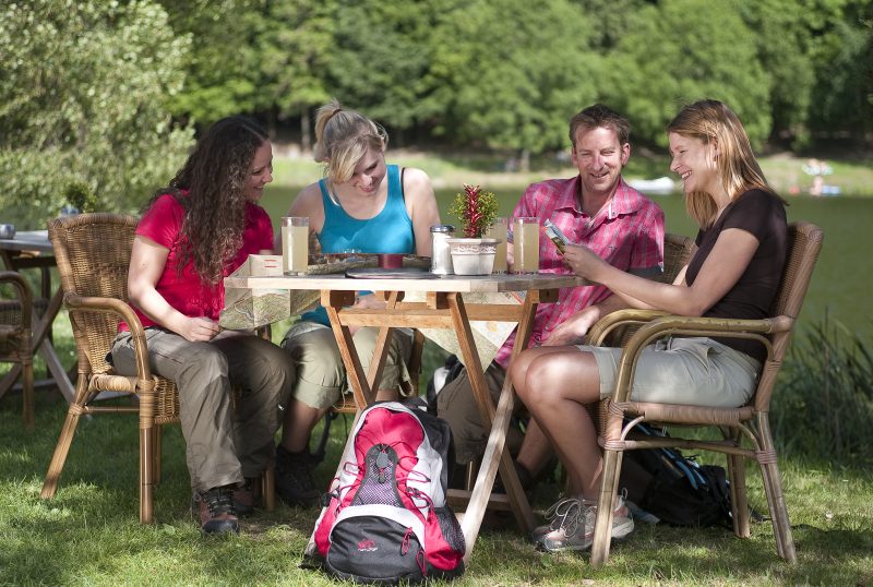
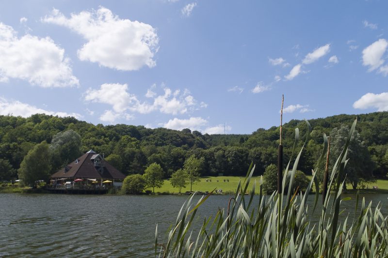
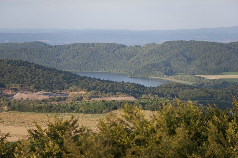
The tour starts along the idyllic bank of the Rieden Forest Lake before going along the Rehbach brook to Rieden. Past a mineral spring with acidulous water, through Rieden and into the forest along a natural footpath. A pleasant forest path leads hardly noticeably uphill, sometimes beneath flapping branches, sometimes beneath a rustling roof of leaves, into a majestic forest cathedral of beech trees. One section over wide pastureland reveals a view of the transmission tower of the Gänsehals.

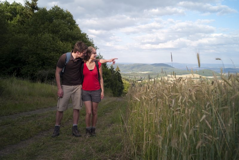
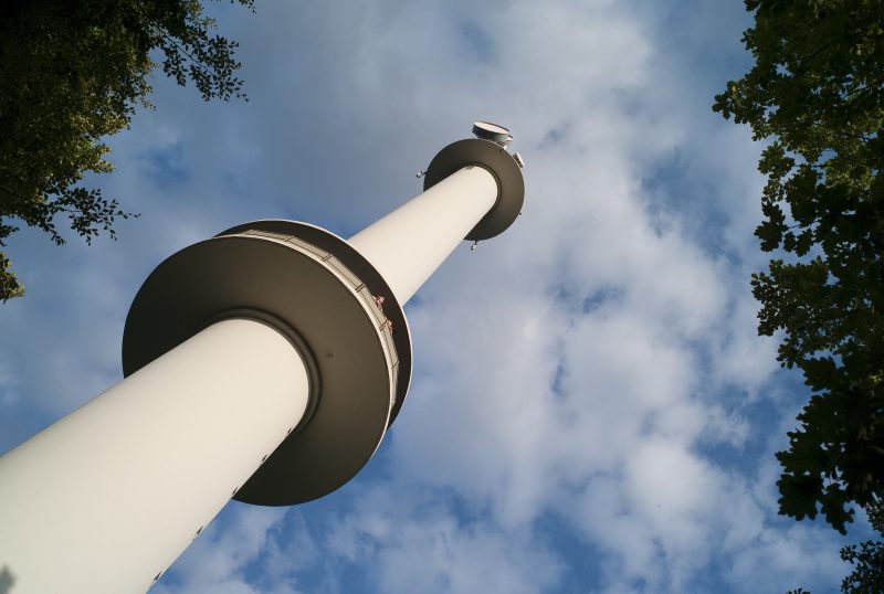
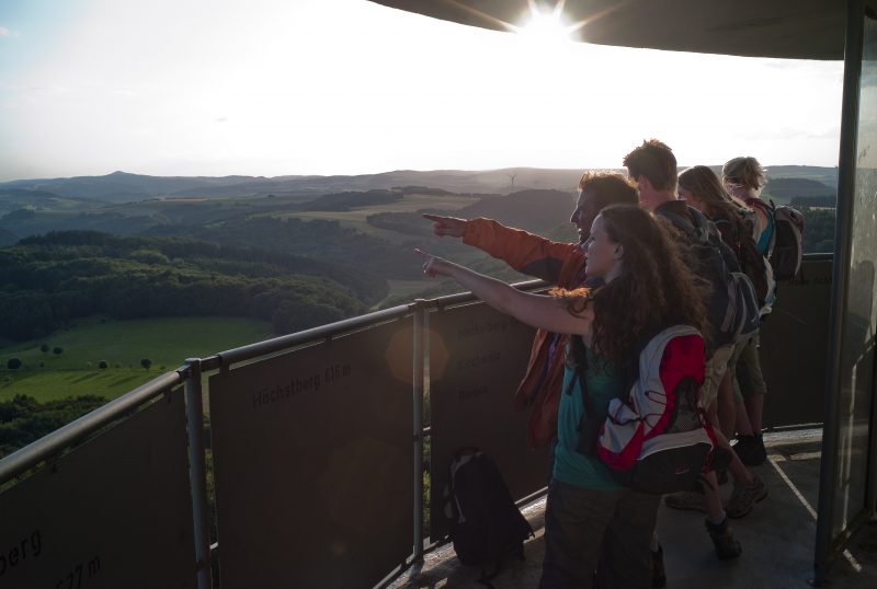
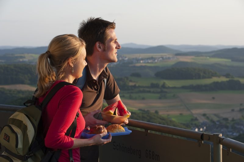
The trail continues as a serpentine path winding very much uphill through dense coniferous forest. Going a short way along the edge of the field and along a magical forest path in a grove of pine trees the trail arrives at the transmission tower that is always open and rewards the climb to the top with a fantastic 360° panorama view of the volcanic Eifel and the Newied basin. The descent goes first through mixed forest, then across open fields to the Gänsehals Hut with its phenomenal view.

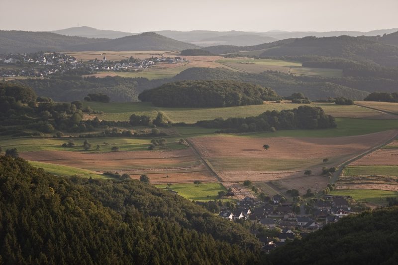
At the nearby hiker car park the path climbs up to the “Maifeld View” and then straight ahead into the forest. Here the last highlight of the tour is waiting: the trail goes through the middle of a field of rocks, stones and imposing blocks of rock in a deciduous forest. Then it continues in lively change between forest and open meadows, always with new views towards Nette valley and Kirchwald, and then it finally descends to the Rieden Forest Lake.

Highlights at Traumpfad

  • Idyllic Rieden Forest Lake
  • Rehbach valley
  • Climb to the Gänsehals with the transmission tower and a panoramic view over the Eifel and up to the Rhine
  • Small Eifel village of Rieden with its mineral spring with acidulous water
  • Gänsehals Hut with phenomenal view

Information about Traumpfad "Waldseepfad Rieden"

Length

14,2 km

Altitude

464 m

Duration

4:30 hours

Difficulty

moderate

How to get there
Start
Further access
Parking
3d-Flight
Public transport
  • A61 Exit Wehr, towards Adenau/Kempenich
  • B412 turn right towards Wehr/Rieden
  • at L114 to the left, through Rieden to Waldsee (car park signposted)
  • 56745 Rieden, Am Waldsee
56745 Rieden Am Waldsee, Parkplatz Waldsee
  • 56745 Rieden Parkplatz car park Kirmesplatz (Kirchstraße)
  • 56745 Bell Gänsehals, hiker car park Gänsehals
  • 56745 Rieden Am Waldsee
  • 56745 Rieden car park Kirmesplatz (Kirchstraße)
  • 56745 Bell hiker car park Gänsehals
Mit dem Klick aktivieren Sie das Video, es werden aber Daten, wie Ihre IP-Adresse, zu Youtube übertragen.
Video anzeigen
Destination Stop:
Rieden, Waldsee
Lines:
  • Linie 399 FreizeitBus: Mayen - Rieden - Maria Laach - Nickenich - Andernach - Namedy (01.04. bis 01.11.)
  • Linie 820 Mayen Ost Bf. – Rieden - Kempenich

Links

Impressions from the Traumpfad "Waldseepfad Rieden"

Notes

current route information
Sperrung wegen Jagd

Aufgrund einer Jagd sind die Traumpfade Waldseepfad Rieden und Vier-Berge Tour am 27.01.2024 komplett gesperrt. Bitte weichen Sie zu Ihrer eigenen Sicherheit auf einen anderen Traumpfad aus. (Stand: 17.01.2024)

(Gültig am: 27.01.2024)
Sperrung Gänsehalsturm

Aus Gründen der Verkehrssicherungspflicht schließt der Betreiber des Gänsehalsturms von Einsetzen der Frostperiode bis Ostern den Turm. Durch Kondensation kann sich Eis bilden und die Besucher könnten auf den glatten Stufen ausrutschen und sich verletzen.

Explore more Traumpfade

wanderather traumpfad

Wanderather

Length: 12 km

Difficulty: leicht

go to Traumpfad "Wanderather"
Mutter und Tochter befühlen Wacholderheiden

Wacholderweg

Length: 8,8 km

Difficulty: moderate

go to Traumpfad "Wacholderweg"
Vulkanpfad Wanderweg

Vulkanpfad

Length: 6,6 km

Difficulty: moderate

go to Traumpfad "Vulkanpfad"
Traumpfade 1

Virne-Burgweg

Length: 9,9 km

Difficulty: moderate

go to Traumpfad "Virne-Burgweg"
Traumpfade 2

Vier-Berge-Tour

Length: 12,9 km

Difficulty: hard

go to Traumpfad "Vier-Berge-Tour"
Rast auf einer Bank

Pellenzer Seepfad

Length: 16 km

Difficulty: hard

go to Traumpfad "Pellenzer Seepfad"
nette schieferpfad

Nette-Schieferpfad

Length: 9,2 km

Difficulty: moderate

go to Traumpfad "Nette-Schieferpfad"
Traumpfade 3

Monrealer Ritterschlag

Length: 13,7 km

Difficulty: hard

go to Traumpfad "Monrealer Ritterschlag"
Zwei Wanderer rasten auf einem Felsen

Hochbermeler

Length: 10 km

Difficulty: leicht

go to Traumpfad "Hochbermeler"
heidehimmel-volkesfeld

Heidehimmel Volkesfeld

Length: 9,3 km

Difficulty: moderate

go to Traumpfad "Heidehimmel Volkesfeld"
Traumpfade 4

Förstersteig

Length: 14,7 km

Difficulty: hard

go to Traumpfad "Förstersteig"
Wanderer kühlen ihre Füße ab

Booser Doppelmaartour

Length: 9,1 km

Difficulty: easy

go to Traumpfad "Booser Doppelmaartour"
Traumpfade 5

Bergheidenweg

Length: 10,3 km

Difficulty: moderate

go to Traumpfad "Bergheidenweg"
Our partners